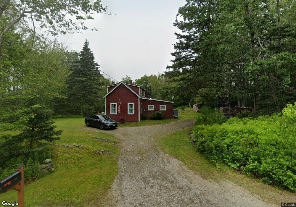
2879 Bristol Rd New Harbor, ME 04554
Estimated Value: $162,730 - $1,189,000
--
Bed
--
Bath
--
Sq Ft
0.92
Acres
About This Home
This home is located at 2879 Bristol Rd, New Harbor, ME 04554 and is currently estimated at $616,910. 2879 Bristol Rd is a home located in Lincoln County with nearby schools including Bristol Consolidated School.
Ownership History
Date
Name
Owned For
Owner Type
Purchase Details
Closed on
Dec 16, 2021
Sold by
Waskiewicz David and Dolan Donalee
Bought by
Waskiewicz David
Current Estimated Value
Home Financials for this Owner
Home Financials are based on the most recent Mortgage that was taken out on this home.
Original Mortgage
$89,100
Interest Rate
3.45%
Mortgage Type
Purchase Money Mortgage
Create a Home Valuation Report for This Property
The Home Valuation Report is an in-depth analysis detailing your home's value as well as a comparison with similar homes in the area
Home Values in the Area
Average Home Value in this Area
Purchase History
| Date | Buyer | Sale Price | Title Company |
|---|---|---|---|
| Waskiewicz David | -- | None Available |
Source: Public Records
Mortgage History
| Date | Status | Borrower | Loan Amount |
|---|---|---|---|
| Previous Owner | Waskiewicz David | $89,100 |
Source: Public Records
Tax History Compared to Growth
Tax History
| Year | Tax Paid | Tax Assessment Tax Assessment Total Assessment is a certain percentage of the fair market value that is determined by local assessors to be the total taxable value of land and additions on the property. | Land | Improvement |
|---|---|---|---|---|
| 2024 | $865 | $97,200 | $48,900 | $48,300 |
| 2023 | $773 | $97,200 | $48,900 | $48,300 |
| 2022 | $700 | $97,200 | $48,900 | $48,300 |
| 2021 | $700 | $97,200 | $48,900 | $48,300 |
| 2020 | $705 | $97,200 | $48,900 | $48,300 |
| 2019 | $656 | $97,200 | $48,900 | $48,300 |
| 2018 | $608 | $97,200 | $48,900 | $48,300 |
| 2017 | $608 | $97,200 | $48,900 | $48,300 |
| 2016 | $760 | $96,200 | $49,800 | $46,400 |
| 2015 | $813 | $96,200 | $49,800 | $46,400 |
| 2014 | $760 | $96,200 | $49,800 | $46,400 |
| 2013 | $741 | $96,200 | $49,800 | $46,400 |
Source: Public Records
Map
Nearby Homes
- 20 Ocean Side Ln
- 49 Seawood Park Rd
- 37 Yellow Head Rd
- 95 Pumpkin Cove Rd
- Lot 11 Nahanada Rd
- Lot 13 Nahanada Rd
- 1B Old Mill Rd
- 165 McFarland Shore Rd
- 2700 Bristol Rd
- M2-L55F Bristol Rd
- 42 Old Mill Rd
- 45 Old Mill Rd
- 0 McFarland Shore Rd
- 82 Pemaquid Trail
- 2593 Bristol Rd
- 5 Penniman Rd
- 75 Snowball Hill Rd
- 82 Southside Rd
- 1 Fish Point Rd
- 211 Snowball Hill Rd
- 5 Bay Pines
- 2869 Bristol Rd
- 2460 Route 130
- 2893 Bristol Rd
- 24 Seawood Park Rd
- 20 Seawood Park Rd
- 2850 Bristol Rd
- 2862 Bristol Rd
- 2905 Bristol Rd
- 11 Wilder Dr
- 0 Bay Pines
- 40 Seawood Park Rd
- 35 Bay Pines Rd
- 8 Ratigan Dr
- 34 Bay Pines
- 43 Seawood Park Rd
- 51 Bay Pines
- 2923 Bristol Rd
- 5 and 7 Pine Haven Ln
- 5 Pine Haven Ln