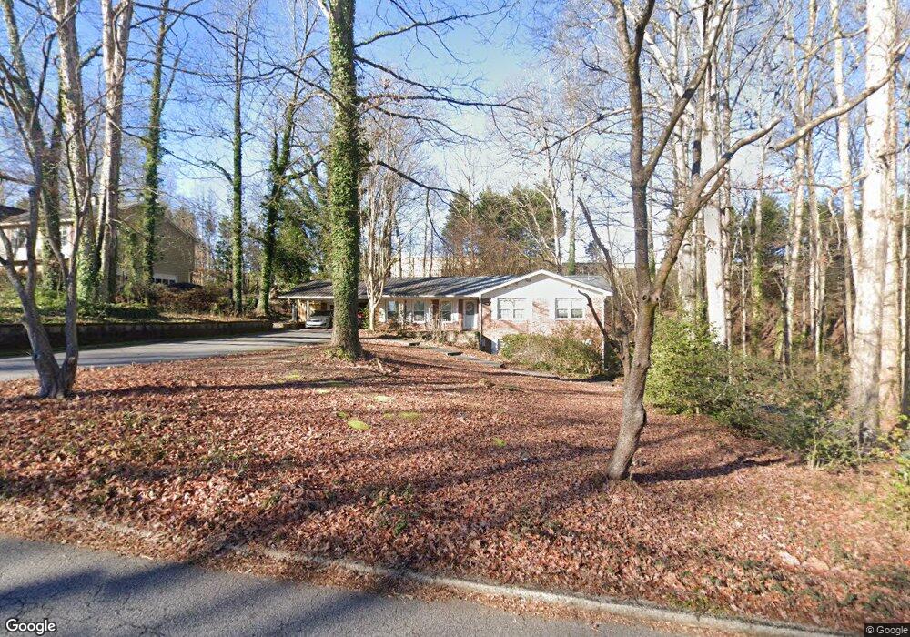
2879 Hillside Dr Unit 2 Douglasville, GA 30135
Estimated Value: $221,454 - $277,000
3
Beds
1
Bath
1,551
Sq Ft
$165/Sq Ft
Est. Value
About This Home
This home is located at 2879 Hillside Dr Unit 2, Douglasville, GA 30135 and is currently estimated at $255,364, approximately $164 per square foot. 2879 Hillside Dr Unit 2 is a home located in Douglas County with nearby schools including Arbor Station Elementary School, Chestnut Log Middle School, and New Manchester High School.
Ownership History
Date
Name
Owned For
Owner Type
Purchase Details
Closed on
Sep 24, 2019
Sold by
Thomas Ronald Allen
Bought by
Webb Travis Nelson
Current Estimated Value
Purchase Details
Closed on
Dec 6, 2002
Sold by
Quarter Prop Xv Llc
Bought by
Thomas Ronald A
Purchase Details
Closed on
Jun 19, 1998
Sold by
Mckown D Scott and Mckown Beverly A
Bought by
Fourth Quarter Prop Xv Llc
Create a Home Valuation Report for This Property
The Home Valuation Report is an in-depth analysis detailing your home's value as well as a comparison with similar homes in the area
Home Values in the Area
Average Home Value in this Area
Purchase History
| Date | Buyer | Sale Price | Title Company |
|---|---|---|---|
| Webb Travis Nelson | $140,000 | -- | |
| Thomas Ronald A | $100,000 | -- | |
| Fourth Quarter Prop Xv Llc | $110,000 | -- |
Source: Public Records
Tax History Compared to Growth
Tax History
| Year | Tax Paid | Tax Assessment Tax Assessment Total Assessment is a certain percentage of the fair market value that is determined by local assessors to be the total taxable value of land and additions on the property. | Land | Improvement |
|---|---|---|---|---|
| 2024 | $2,257 | $71,720 | $18,000 | $53,720 |
| 2023 | $2,257 | $71,720 | $18,000 | $53,720 |
| 2022 | $2,335 | $71,720 | $18,000 | $53,720 |
| 2021 | $1,835 | $56,280 | $10,240 | $46,040 |
| 2020 | $1,866 | $56,280 | $10,240 | $46,040 |
| 2019 | $1,684 | $54,400 | $10,240 | $44,160 |
| 2018 | $1,656 | $53,240 | $10,240 | $43,000 |
| 2017 | $1,511 | $47,640 | $10,240 | $37,400 |
| 2016 | $1,498 | $46,440 | $10,240 | $36,200 |
| 2015 | $319 | $32,840 | $7,520 | $25,320 |
| 2014 | $311 | $31,320 | $7,520 | $23,800 |
| 2013 | -- | $30,920 | $7,520 | $23,400 |
Source: Public Records
Map
Nearby Homes
- 2863 Hillside Dr
- LOT 16 Hillside Dr Unit 5
- 4880 Lehigh Dr
- 4800 Timber Ridge Dr
- 2985 Rolling Green Ridge
- 6102 Way
- 6104 Vaughnmere Way
- 6106 Vaughnmere Way
- 3113 Melissa Ct
- 4625 Fox Hollow Ct
- Marigold Plan at Laurelwood
- Calliope Plan at Laurelwood
- Foxglove Plan at Laurelwood
- Cedar Plan at Laurelwood
- 2795 Frank Ln
- 2101 Stillhaven Place
- 6645 Wyndale Dr
- 1119 Lockhart Way
- 6611 Wyndale Dr
- 6607 Wyndale Dr
- 2889 Hillside Dr
- 2913 Hillside Dr
- 2880 Hillside Dr
- 2870 Hillside Dr
- 2860 Hillside Dr
- 2900 Hillside Dr
- 2912 Hillside Dr
- 2850 Hillside Dr
- 2921 Hillside Dr
- 2926 Hillside Dr
- 2915 Alcris Dr
- 2884 Hyde Park Dr
- 2835 Hillside Dr
- 0 Hillside Dr Unit 7471018
- 0 Hillside Dr Unit 7388189
- 0 Hillside Dr Unit 7374888
- 0 Hillside Dr Unit 3286414
- 0 Hillside Dr Unit 3198051
- 0 Hillside Dr Unit 8681522
- 0 Hillside Dr Unit 8032570