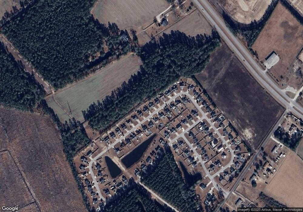
288 Beulah Cir Unit Lot 41 MOLLY PLAN Conway, SC 29527
Estimated Value: $232,000 - $270,000
3
Beds
2
Baths
1,398
Sq Ft
$181/Sq Ft
Est. Value
About This Home
This home is located at 288 Beulah Cir Unit Lot 41 MOLLY PLAN, Conway, SC 29527 and is currently estimated at $253,408, approximately $181 per square foot. 288 Beulah Cir Unit Lot 41 MOLLY PLAN is a home located in Horry County with nearby schools including Aynor Elementary School, Aynor Middle School, and Aynor High School.
Ownership History
Date
Name
Owned For
Owner Type
Purchase Details
Closed on
May 31, 2018
Sold by
Cyr Christine R
Bought by
Odell Robert W Tr and Odell Eileen H Tr
Current Estimated Value
Purchase Details
Closed on
Jul 3, 2014
Sold by
Corbin Builders Llc
Bought by
Cyr Christine R
Home Financials for this Owner
Home Financials are based on the most recent Mortgage that was taken out on this home.
Original Mortgage
$100,000
Interest Rate
4.2%
Mortgage Type
Future Advance Clause Open End Mortgage
Create a Home Valuation Report for This Property
The Home Valuation Report is an in-depth analysis detailing your home's value as well as a comparison with similar homes in the area
Home Values in the Area
Average Home Value in this Area
Purchase History
| Date | Buyer | Sale Price | Title Company |
|---|---|---|---|
| Odell Robert W Tr | $157,900 | -- | |
| Cyr Christine R | $130,000 | -- |
Source: Public Records
Mortgage History
| Date | Status | Borrower | Loan Amount |
|---|---|---|---|
| Previous Owner | Cyr Christine R | $100,000 |
Source: Public Records
Tax History Compared to Growth
Tax History
| Year | Tax Paid | Tax Assessment Tax Assessment Total Assessment is a certain percentage of the fair market value that is determined by local assessors to be the total taxable value of land and additions on the property. | Land | Improvement |
|---|---|---|---|---|
| 2024 | -- | $15,526 | $4,200 | $11,326 |
| 2023 | $486 | $6,038 | $1,114 | $4,924 |
| 2021 | $472 | $15,849 | $2,923 | $12,926 |
| 2020 | $396 | $15,849 | $2,923 | $12,926 |
| 2019 | $1,903 | $15,849 | $2,923 | $12,926 |
| 2018 | $334 | $13,719 | $1,990 | $11,729 |
| 2017 | $319 | $7,839 | $1,137 | $6,702 |
| 2016 | -- | $7,839 | $1,137 | $6,702 |
| 2015 | $480 | $7,839 | $1,137 | $6,702 |
| 2014 | -- | $785 | $785 | $0 |
Source: Public Records
Map
Nearby Homes
- Moonbeam Plan at Bayview
- Comet Plan at Bayview
- Sterling Plan at Bayview
- Prism Plan at Bayview
- Hubble Plan at Bayview
- 324 Azimuth Dr
- 304 Azimuth Dr
- 109 Admiral St
- 313 Azimuth Dr
- 117 Admiral St
- 113 Admiral St
- 121 Admiral St
- 345 Azimuth Dr
- 500 Acosta Cir
- 150 Landmark Rd
- 468 Landmark Rd
- 488 Acosta Cir
- 357 Acosta Cir
- ARIA Plan at Heritage Crossing
- CALI Plan at Heritage Crossing
- 288 Beulah Cir
- 288 Beulah Cir Unit Lot 41
- 284 Beulah Cir Unit Homesite 40 Addison
- 292 Beulah Cir Unit Homesite 42 The Mo
- 292 Beulah Cir
- 280 Beulah Cir
- 296 Beulah Cir Unit Homesite 43 The A
- 296 Beulah Cir
- 287 Beulah Cir Unit Homesite 83 The Mo
- 291 Beulah Cir
- 291 Beulah Cir Unit Lot 84 Briggs Plan
- 283 Beulah Cir Unit Homesite 82 Addison
- 276 Beulah Cir
- 276 Beulah Cir Unit Lot 38
- 300 Beulah Cir
- 300 Beulah Cir Unit Lot 44
- 295 Beulah Cir
- 295 Beulah Cir Unit Lot 85
- 279 Beulah Cir Unit Homesite 81 Pam Fl
- 299 Beulah Cir
