288 Double Bridge Rd Thomaston, GA 30286
Estimated Value: $355,226 - $430,000
3
Beds
2
Baths
2,200
Sq Ft
$181/Sq Ft
Est. Value
About This Home
This home is located at 288 Double Bridge Rd, Thomaston, GA 30286 and is currently estimated at $397,307, approximately $180 per square foot. 288 Double Bridge Rd is a home located in Upson County with nearby schools including Upson-Lee South Elementary School, Upson-Lee North Elementary School, and Upson-Lee Middle School.
Ownership History
Date
Name
Owned For
Owner Type
Purchase Details
Closed on
Aug 26, 2016
Sold by
Barfield Tony B
Bought by
Compton Jeremy Russell and Compton Jennifer Tyson
Current Estimated Value
Home Financials for this Owner
Home Financials are based on the most recent Mortgage that was taken out on this home.
Original Mortgage
$166,250
Outstanding Balance
$133,007
Interest Rate
3.48%
Mortgage Type
New Conventional
Estimated Equity
$264,300
Create a Home Valuation Report for This Property
The Home Valuation Report is an in-depth analysis detailing your home's value as well as a comparison with similar homes in the area
Home Values in the Area
Average Home Value in this Area
Purchase History
| Date | Buyer | Sale Price | Title Company |
|---|---|---|---|
| Compton Jeremy Russell | $175,000 | -- |
Source: Public Records
Mortgage History
| Date | Status | Borrower | Loan Amount |
|---|---|---|---|
| Open | Compton Jeremy Russell | $166,250 |
Source: Public Records
Tax History Compared to Growth
Tax History
| Year | Tax Paid | Tax Assessment Tax Assessment Total Assessment is a certain percentage of the fair market value that is determined by local assessors to be the total taxable value of land and additions on the property. | Land | Improvement |
|---|---|---|---|---|
| 2024 | $2,790 | $111,247 | $20,395 | $90,852 |
| 2023 | $2,790 | $104,615 | $20,395 | $84,220 |
| 2022 | $2,095 | $77,536 | $9,937 | $67,599 |
| 2021 | $1,785 | $69,727 | $9,936 | $59,791 |
| 2020 | $1,808 | $66,079 | $9,172 | $56,907 |
| 2019 | $1,830 | $61,737 | $9,172 | $52,565 |
| 2018 | $1,832 | $61,737 | $9,172 | $52,565 |
| 2017 | $1,790 | $55,246 | $9,172 | $46,074 |
| 2016 | $1,719 | $52,292 | $7,644 | $44,648 |
| 2015 | $1,719 | $52,292 | $7,644 | $44,648 |
| 2014 | $1,838 | $55,687 | $11,968 | $43,719 |
Source: Public Records
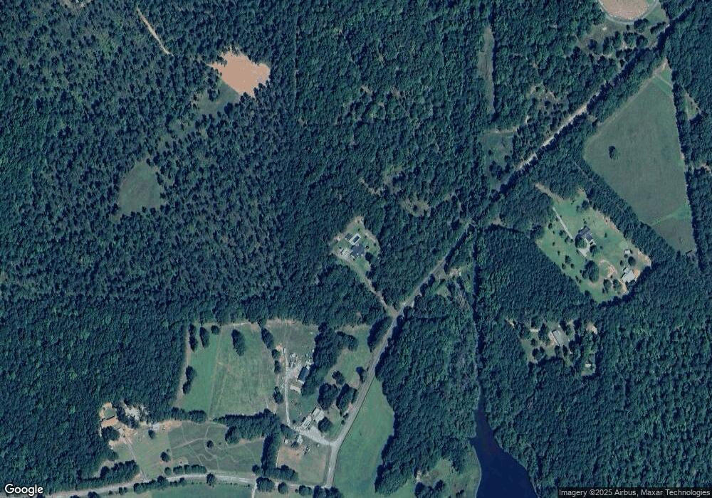
Map
Nearby Homes
- 1730 Roland Rd
- 975 Thurston School Rd
- 168 Shadow Wood Ln
- 0 Ellerbeetown Rd Unit 10599300
- O Woodland Rd
- 0 Woodland Rd Unit 10482958
- 30 Grandview Dr
- 105 Alexandria Way
- 101 Alexandria Way
- 85 Beverly Ln
- 28 Beverly Ln
- 410 Irvin Rd
- 0 Pallet Mill Rd
- 800 Smoke Rise Dr
- 0 Crest Hwy Unit 10563371
- 0 Crest Hwy Unit 10563363
- 0 Firetower Rd Unit 10615379
- 0 Barouche Dr Unit 10597016
- 0 Way Unit 10624295
- 177 Antler Dr
- 350 Double Bridges Rd
- 350 Double Bridge Rd
- 350 Double Bridge Rd
- 291 Double Bridge Rd
- 205 Double Bridge Rd
- 88 Covey Rise Ln
- 111 Double Bridge Rd
- 111 Double Bridge Rd
- 75 Covey Rise Ln
- 0 Double Bridges Rd Unit 7084718
- 0 Double Bridges Rd Unit 3244935
- 0 Double Bridges Rd Unit 8076226
- 4249 Old Alabama Rd
- 75 Double Bridge Rd
- 75 Double Bridge Rd
- 178 Covey Rise Ln
- 4200 Old Alabama Rd
- 4210 Old Alabama Rd
- 0 Double Bridges Old Alabama Rd Unit 10154277
- 0 Double Bridge Rd Unit 7593880