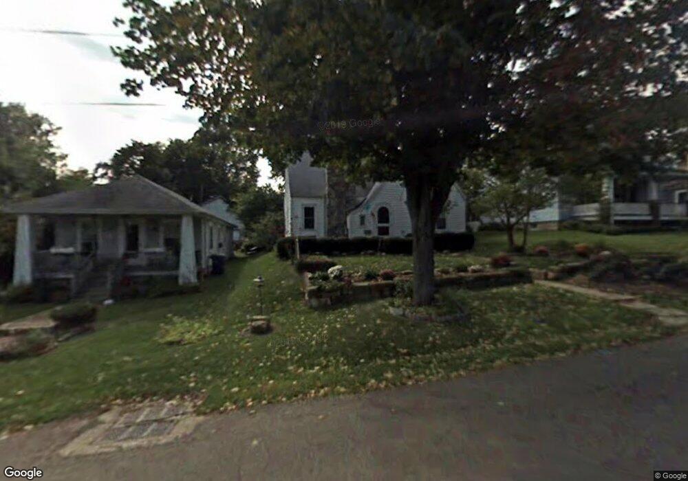
288 Elmwood Dr Mansfield, OH 44906
Estimated Value: $88,873 - $155,000
3
Beds
1
Bath
1,384
Sq Ft
$83/Sq Ft
Est. Value
About This Home
This home is located at 288 Elmwood Dr, Mansfield, OH 44906 and is currently estimated at $114,468, approximately $82 per square foot. 288 Elmwood Dr is a home located in Richland County with nearby schools including Goal Digital Academy, Mansfield Elective Academy, and Interactive Media & Construction (IMAC) Academy.
Ownership History
Date
Name
Owned For
Owner Type
Purchase Details
Closed on
Feb 19, 1991
Sold by
Fletcher Mark C
Bought by
Fletcher Jo Ann
Current Estimated Value
Purchase Details
Closed on
Jan 1, 1987
Create a Home Valuation Report for This Property
The Home Valuation Report is an in-depth analysis detailing your home's value as well as a comparison with similar homes in the area
Home Values in the Area
Average Home Value in this Area
Purchase History
| Date | Buyer | Sale Price | Title Company |
|---|---|---|---|
| Fletcher Jo Ann | -- | -- | |
| -- | $27,000 | -- |
Source: Public Records
Tax History Compared to Growth
Tax History
| Year | Tax Paid | Tax Assessment Tax Assessment Total Assessment is a certain percentage of the fair market value that is determined by local assessors to be the total taxable value of land and additions on the property. | Land | Improvement |
|---|---|---|---|---|
| 2024 | $260 | $15,350 | $1,810 | $13,540 |
| 2023 | $260 | $15,350 | $1,810 | $13,540 |
| 2022 | $704 | $12,600 | $1,750 | $10,850 |
| 2021 | $709 | $12,600 | $1,750 | $10,850 |
| 2020 | $725 | $12,600 | $1,750 | $10,850 |
| 2019 | $803 | $12,600 | $1,750 | $10,850 |
| 2018 | $792 | $12,600 | $1,750 | $10,850 |
| 2017 | $911 | $12,600 | $1,750 | $10,850 |
| 2016 | $1,051 | $16,660 | $3,690 | $12,970 |
| 2015 | $1,051 | $16,660 | $3,690 | $12,970 |
| 2014 | $991 | $16,660 | $3,690 | $12,970 |
| 2012 | $378 | $16,670 | $3,890 | $12,780 |
Source: Public Records
Map
Nearby Homes
- 237 Helen Ave
- 914 W 4th St
- 96 Helen Ave
- 688 Mcpherson St
- 0 State Route 314 Unit 9067316
- 0 State Route 314 Unit 225021979
- 80 Rowland Ave
- 611 Park Ave W
- 120 Gettings Place
- 21 Glenwood Blvd
- 24 Stewart Ave S
- 41 Parkwood Blvd
- 406 Sherman Place
- 71 Glenwood Blvd
- 955 Mcpherson St
- 37 S Linden Rd
- 426 Mcpherson St
- 132 Sycamore St
- 38 Baldwin Ave
- 118 Parkwood Blvd