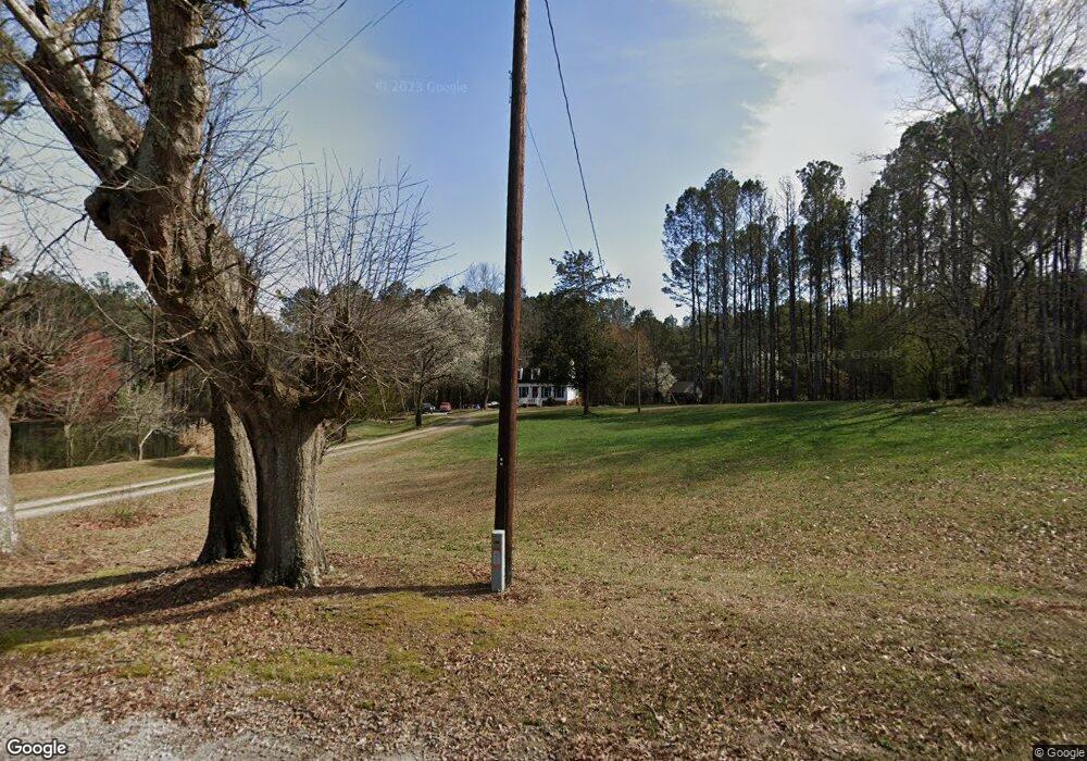
288 Harman Ln Carrollton, GA 30117
Estimated Value: $423,000 - $562,000
5
Beds
3
Baths
2,656
Sq Ft
$190/Sq Ft
Est. Value
About This Home
This home is located at 288 Harman Ln, Carrollton, GA 30117 and is currently estimated at $505,101, approximately $190 per square foot. 288 Harman Ln is a home located in Carroll County with nearby schools including Bowdon Elementary School, Bowdon Middle School, and Bowdon High School.
Ownership History
Date
Name
Owned For
Owner Type
Purchase Details
Closed on
Jun 28, 2023
Sold by
Wilson Robert G
Bought by
Wilson Robert Gary Tr and Wilson Lorraine Hohen Tr
Current Estimated Value
Purchase Details
Closed on
Jul 15, 2004
Sold by
Edwards Chris and Edwards Krysti
Bought by
Wilson Robert G and Wilson Lorraine H
Purchase Details
Closed on
Jul 28, 2003
Sold by
Prudential Residential Service
Bought by
Edwards Chris and Edwards Krysti
Purchase Details
Closed on
May 10, 2002
Sold by
Keaten Ken T and Keaten Cherr
Bought by
Prudential Residential Services
Purchase Details
Closed on
Jun 11, 1999
Sold by
Harman Harold D
Bought by
Keaten Ken T and Keaten Cherr
Purchase Details
Closed on
Feb 15, 1996
Bought by
Harman Harold D
Purchase Details
Closed on
Oct 13, 1993
Bought by
Remove Jane
Purchase Details
Closed on
Mar 19, 1989
Bought by
Harman Harold and Harman Jane
Create a Home Valuation Report for This Property
The Home Valuation Report is an in-depth analysis detailing your home's value as well as a comparison with similar homes in the area
Home Values in the Area
Average Home Value in this Area
Purchase History
| Date | Buyer | Sale Price | Title Company |
|---|---|---|---|
| Wilson Robert Gary Tr | -- | -- | |
| Wilson Robert G | $260,000 | -- | |
| Edwards Chris | $190,000 | -- | |
| Prudential Residential Services | $256,000 | -- | |
| Keaten Ken T | $200,000 | -- | |
| Harman Harold D | -- | -- | |
| Remove Jane | -- | -- | |
| Harman Harold | -- | -- |
Source: Public Records
Tax History Compared to Growth
Tax History
| Year | Tax Paid | Tax Assessment Tax Assessment Total Assessment is a certain percentage of the fair market value that is determined by local assessors to be the total taxable value of land and additions on the property. | Land | Improvement |
|---|---|---|---|---|
| 2024 | $329 | $169,446 | $47,779 | $121,667 |
| 2023 | $329 | $149,331 | $38,223 | $111,108 |
| 2022 | $542 | $114,585 | $25,482 | $89,103 |
| 2021 | $2,015 | $96,652 | $20,386 | $76,266 |
| 2020 | $1,836 | $88,042 | $18,532 | $69,510 |
| 2019 | $1,715 | $82,921 | $18,532 | $64,389 |
| 2018 | $1,555 | $75,966 | $18,532 | $57,434 |
| 2017 | $1,599 | $75,966 | $18,532 | $57,434 |
Source: Public Records
Map
Nearby Homes
- 320 Harman Ln
- 236 Harman Ln
- 174 Harman Ln
- 180 Brock Rd
- 848 Farmers High Rd
- 184 Harman Ln
- 776 Farmers High Rd
- 107 Harman Ln
- 1280 Salem Church Rd
- 766 Farmers High Rd
- 747 Farmers High Rd
- 1055 Farmers High Rd
- 728 Farmers High Rd
- 1228 Salem Church Rd
- 149 Harman Rd
- 721 Farmers High Rd
- 1100 Farmers High Rd
- 1079 Farmers High Rd
- 149 Brock Rd
- 1110 Salem Church Rd