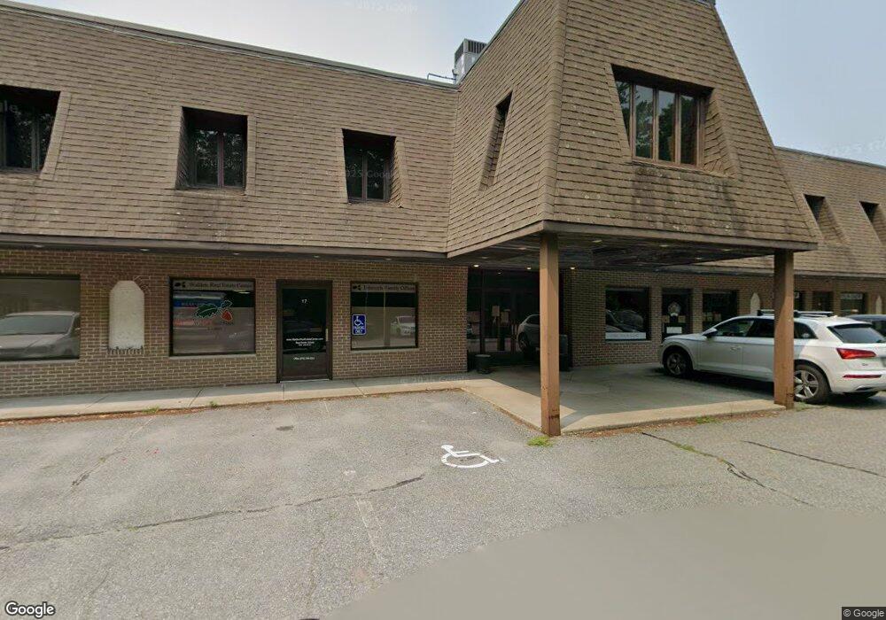
288 Littleton Rd Unit 12 Westford, MA 01886
Estimated Value: $110,374
--
Bed
1
Bath
570
Sq Ft
$194/Sq Ft
Est. Value
About This Home
This home is located at 288 Littleton Rd Unit 12, Westford, MA 01886 and is currently estimated at $110,374, approximately $193 per square foot. 288 Littleton Rd Unit 12 is a home located in Middlesex County with nearby schools including Col John Robinson, John A. Crisafulli Elementary School, and Blanchard Middle School.
Ownership History
Date
Name
Owned For
Owner Type
Purchase Details
Closed on
Apr 11, 2014
Sold by
Hennen Claudia M
Bought by
Corners T
Current Estimated Value
Purchase Details
Closed on
Aug 15, 1997
Sold by
Hanson Douglas A
Bought by
Hennen Claudia M
Home Financials for this Owner
Home Financials are based on the most recent Mortgage that was taken out on this home.
Original Mortgage
$27,700
Interest Rate
7.56%
Mortgage Type
Commercial
Purchase Details
Closed on
Nov 1, 1993
Sold by
Buck Richard H
Bought by
Middlesex Sb
Home Financials for this Owner
Home Financials are based on the most recent Mortgage that was taken out on this home.
Original Mortgage
$15,750
Interest Rate
6.86%
Mortgage Type
Commercial
Create a Home Valuation Report for This Property
The Home Valuation Report is an in-depth analysis detailing your home's value as well as a comparison with similar homes in the area
Home Values in the Area
Average Home Value in this Area
Purchase History
| Date | Buyer | Sale Price | Title Company |
|---|---|---|---|
| Corners T | $52,200 | -- | |
| Hennen Claudia M | $35,000 | -- | |
| Middlesex Sb | $15,750 | -- |
Source: Public Records
Mortgage History
| Date | Status | Borrower | Loan Amount |
|---|---|---|---|
| Previous Owner | Middlesex Sb | $27,700 | |
| Previous Owner | Middlesex Sb | $15,750 |
Source: Public Records
Tax History Compared to Growth
Tax History
| Year | Tax Paid | Tax Assessment Tax Assessment Total Assessment is a certain percentage of the fair market value that is determined by local assessors to be the total taxable value of land and additions on the property. | Land | Improvement |
|---|---|---|---|---|
| 2025 | $545 | $39,600 | $0 | $39,600 |
| 2024 | $545 | $39,600 | $0 | $39,600 |
| 2023 | $524 | $35,500 | $0 | $35,500 |
| 2022 | $519 | $32,200 | $0 | $32,200 |
| 2021 | $529 | $31,800 | $0 | $31,800 |
| 2020 | $578 | $35,400 | $0 | $35,400 |
| 2019 | $545 | $32,900 | $0 | $32,900 |
| 2018 | $539 | $32,900 | $0 | $32,900 |
| 2017 | $854 | $51,400 | $0 | $51,400 |
| 2016 | $1,005 | $60,900 | $0 | $60,900 |
| 2015 | $1,004 | $61,100 | $0 | $61,100 |
| 2014 | $1,176 | $69,900 | $0 | $69,900 |
Source: Public Records
Map
Nearby Homes
- 14 Banbury Dr
- 92 Jimney Dr
- 1 Courtney Ln
- 17 Carlisle Rd
- 22 Carlisle Rd
- 14 Fieldstone Dr
- 1 Thistle Ln
- 1 Fieldstone Dr
- 4 Casie Ln
- 4 Powers Rd
- 20 Dean Ln Unit 20
- 5 Colonel Rolls Dr
- 4 Drew Crossing
- 25 Laurel Rd
- 150 Goldsmith St
- 115 Goldsmith St
- 122 Carlisle Rd
- 12 Patten Rd
- 28 Graniteville Rd
- 7 Little Bear Hill Rd
- 288 Littleton Rd Unit 26 & 27
- 288 Littleton Rd Unit 18
- 288 Littleton Rd Unit 31
- 288 Littleton Rd Unit 27
- 288 Littleton Rd Unit 19
- 288 Littleton Rd Unit 20
- 288 Littleton Rd Unit 4
- 288 Littleton Rd Unit 1
- 288 Littleton Rd Unit 30
- 288 Littleton Rd Unit 16
- 288 Littleton Rd Unit 23
- 288 Littleton Rd Unit 24
- 288 Littleton Rd Unit 32
- 288 Littleton Rd Unit 5
- 288 Littleton Rd Unit 29
- 288 Littleton Rd Unit 11
- 288 Littleton Rd Unit 21
- 288 Littleton Rd Unit 26
- 288 Littleton Rd Unit 13
- 288 Littleton Rd