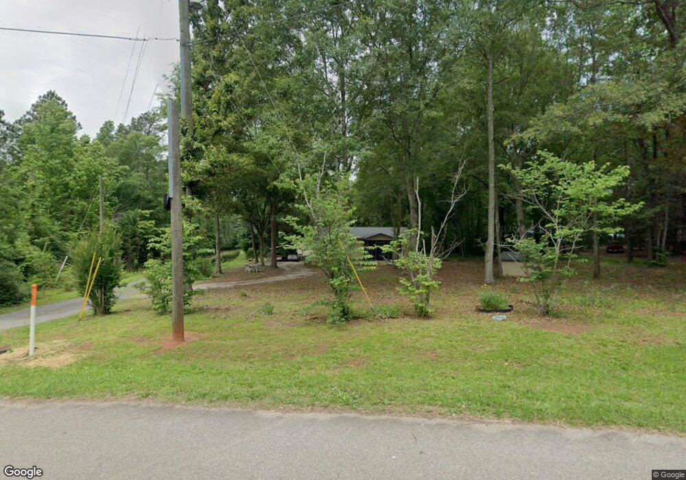
288 Lower Simmons Rd Macon, GA 31220
Estimated Value: $72,854 - $231,000
--
Bed
1
Bath
1,040
Sq Ft
$172/Sq Ft
Est. Value
About This Home
This home is located at 288 Lower Simmons Rd, Macon, GA 31220 and is currently estimated at $178,464, approximately $171 per square foot. 288 Lower Simmons Rd is a home located in Monroe County with nearby schools including Samuel E. Hubbard Elementary School and Mary Persons High School.
Ownership History
Date
Name
Owned For
Owner Type
Purchase Details
Closed on
Mar 9, 2017
Sold by
Humphrey Mary
Bought by
Moran Mary Humphrey and Clay Charles Ira
Current Estimated Value
Purchase Details
Closed on
May 13, 1999
Sold by
Robinson Tommie L
Bought by
Humphrey Mary
Purchase Details
Closed on
May 1, 1999
Sold by
Welch Tammie Latrella and Robins Latisha D
Bought by
Robinson Tommie L
Purchase Details
Closed on
Aug 4, 1973
Sold by
Hart Johnnie
Bought by
Robinson Clara Moran and Robinson Tommie L
Create a Home Valuation Report for This Property
The Home Valuation Report is an in-depth analysis detailing your home's value as well as a comparison with similar homes in the area
Home Values in the Area
Average Home Value in this Area
Purchase History
| Date | Buyer | Sale Price | Title Company |
|---|---|---|---|
| Moran Mary Humphrey | -- | -- | |
| Humphrey Mary | $44,900 | -- | |
| Robinson Tommie L | -- | -- | |
| Robinson Clara Moran | $1,400 | -- |
Source: Public Records
Tax History Compared to Growth
Tax History
| Year | Tax Paid | Tax Assessment Tax Assessment Total Assessment is a certain percentage of the fair market value that is determined by local assessors to be the total taxable value of land and additions on the property. | Land | Improvement |
|---|---|---|---|---|
| 2024 | $323 | $23,488 | $2,760 | $20,728 |
| 2023 | $219 | $20,088 | $2,760 | $17,328 |
| 2022 | $219 | $20,088 | $2,760 | $17,328 |
| 2021 | $227 | $20,088 | $2,760 | $17,328 |
| 2020 | $232 | $20,088 | $2,760 | $17,328 |
| 2019 | $234 | $20,088 | $2,760 | $17,328 |
| 2018 | $235 | $20,088 | $2,760 | $17,328 |
| 2017 | $584 | $20,088 | $2,760 | $17,328 |
| 2016 | $223 | $20,088 | $2,760 | $17,328 |
| 2015 | $212 | $20,088 | $2,760 | $17,328 |
| 2014 | $205 | $20,088 | $2,760 | $17,328 |
Source: Public Records
Map
Nearby Homes
- 137 Shady Dale Dr
- 2198 Dennis Rd
- Plan 3040 at Barrington Place
- Plan 2700 at Barrington Place
- Plan 2620 at Barrington Place
- Plan 2100 at Barrington Place
- Plan 2604 at Barrington Place
- Plan 2316 at Barrington Place
- 104 Peninsula Ave
- 104 Peninsula Ave Unit LOT 49
- 1302 Barrington Place Cove
- 1409 Barrington Place Way
- 112 Irongate
- 8294 Shelley Trail
- 1405 Barrington Place Ln
- 1146 Barrington Place Way
- 402 Harbor Cove Dr
- 402 Harbor Cove Dr Unit 32
- 1150 Barrington Place Way
- 1154 Barrington Place Way
- 304 Lower Simmons Rd
- 291 Lower Simmons Rd
- 301 Lower Simmons Rd
- 280 Lower Simmons Rd
- 343 Lower Simmons Rd
- 365 Lower Simmons Rd
- 268 Lower Simmons Rd
- 316 Lower Simmons Rd
- Tract-8 Lower Simmons Rd
- Tract-7 Lower Simmons Rd
- Tract-6 Lower Simmons Rd
- Tract-5 Lower Simmons Rd
- Tract-4 Lower Simmons Rd
- Tract-3 Lower Simmons Rd
- 75.64 Lower Simmons Rd
- - Lower Simmons Rd
- 306 Hudson Hill Dr
- 76 Shady Dale Dr
- 9140 Shady Dale Dr
- 140 Shady Dale Dr