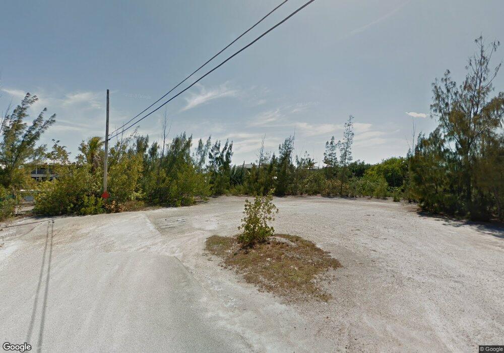
288 Pelican Ln Big Pine Key, FL 33043
Estimated Value: $95,025
--
Bed
--
Bath
--
Sq Ft
7,187
Sq Ft Lot
About This Home
This home is located at 288 Pelican Ln, Big Pine Key, FL 33043 and is currently estimated at $95,025. 288 Pelican Ln is a home located in Monroe County with nearby schools including Sugarloaf School, Marathon Middle High School, and Key West High School.
Ownership History
Date
Name
Owned For
Owner Type
Purchase Details
Closed on
Dec 10, 2018
Sold by
Sundstrom Elaine M
Bought by
Monroe County Comprehensive Pl
Current Estimated Value
Purchase Details
Closed on
Dec 7, 2018
Sold by
Sundstrom Elaine M
Bought by
Monroe County Comprehensive Pl
Purchase Details
Closed on
Nov 27, 2018
Sold by
The Nature Conservancy
Bought by
Monroe County Comprehensive Plan Land Au
Purchase Details
Closed on
Dec 1, 1989
Bought by
Sundstrom Elaine M
Create a Home Valuation Report for This Property
The Home Valuation Report is an in-depth analysis detailing your home's value as well as a comparison with similar homes in the area
Home Values in the Area
Average Home Value in this Area
Purchase History
| Date | Buyer | Sale Price | Title Company |
|---|---|---|---|
| Monroe County Comprehensive Pl | $55,000 | True Title Agency | |
| Monroe County Comprehensive Pl | $55,000 | True Title Agency | |
| Monroe County Comprehensive Plan Land Au | -- | True Title Agency Inc | |
| Sundstrom Elaine M | $17,000 | -- |
Source: Public Records
Tax History Compared to Growth
Tax History
| Year | Tax Paid | Tax Assessment Tax Assessment Total Assessment is a certain percentage of the fair market value that is determined by local assessors to be the total taxable value of land and additions on the property. | Land | Improvement |
|---|---|---|---|---|
| 2024 | -- | $20,826 | $20,826 | -- |
| 2023 | $0 | $20,826 | $20,826 | $0 |
| 2022 | $0 | $20,826 | $20,826 | $0 |
| 2021 | $0 | $20,826 | $20,826 | $0 |
| 2020 | $0 | $20,826 | $20,826 | $0 |
| 2019 | $0 | $20,826 | $20,826 | $0 |
| 2018 | $423 | $68,886 | $68,886 | $0 |
| 2017 | $339 | $49,662 | $0 | $0 |
| 2016 | $317 | $44,942 | $0 | $0 |
| 2015 | $255 | $28,891 | $0 | $0 |
| 2014 | $229 | $22,471 | $0 | $0 |
Source: Public Records
Map
Nearby Homes
- 251 Pelican Ln
- 29849 Newfound Blvd
- 74 Pelican Ln
- 231 Pelican Ln
- 29951 Pine Channel Rd
- 29859 Overseas Hwy Unit A-19
- 29859 Overseas Hwy Unit A6
- 29859 Overseas Hwy Unit 23
- 29859 Overseas Hwy Unit A-3
- 29850 Journeys End Rd
- 178 E Sandy Cir
- 29457 Constitution Ave
- 29676 Ranger Ave
- 29662 Independence Ave
- 29559 Ranger Ave
- 29558 Ranger Ave
- 30170 Linda St
- 29490 Ranger Ave
- 29436 Independence Ave
- 0 U S Route 1
- 281 Pelican Ln
- 258 Pelican Ln
- 29879 Newfound Blvd
- 279 Lobstertail Rd
- 218 Pelican Ln
- 29869 Newfound Blvd
- 29889 Newfound Blvd
- 29839 Newfound Blvd
- 29899 Newfound Blvd
- 149 Newfound Blvd
- 196 Pelican Ln
- 29819 Newfound Blvd
- 219 Lobstertail Rd
- 286 Lobstertail Rd
- 199 Pelican Ln
- 000 New Found Blvd
- 256 Lobstertail Rd
- 197 Lobstertail Rd
- 29809 Newfound Blvd
- 236 Lobstertail Rd