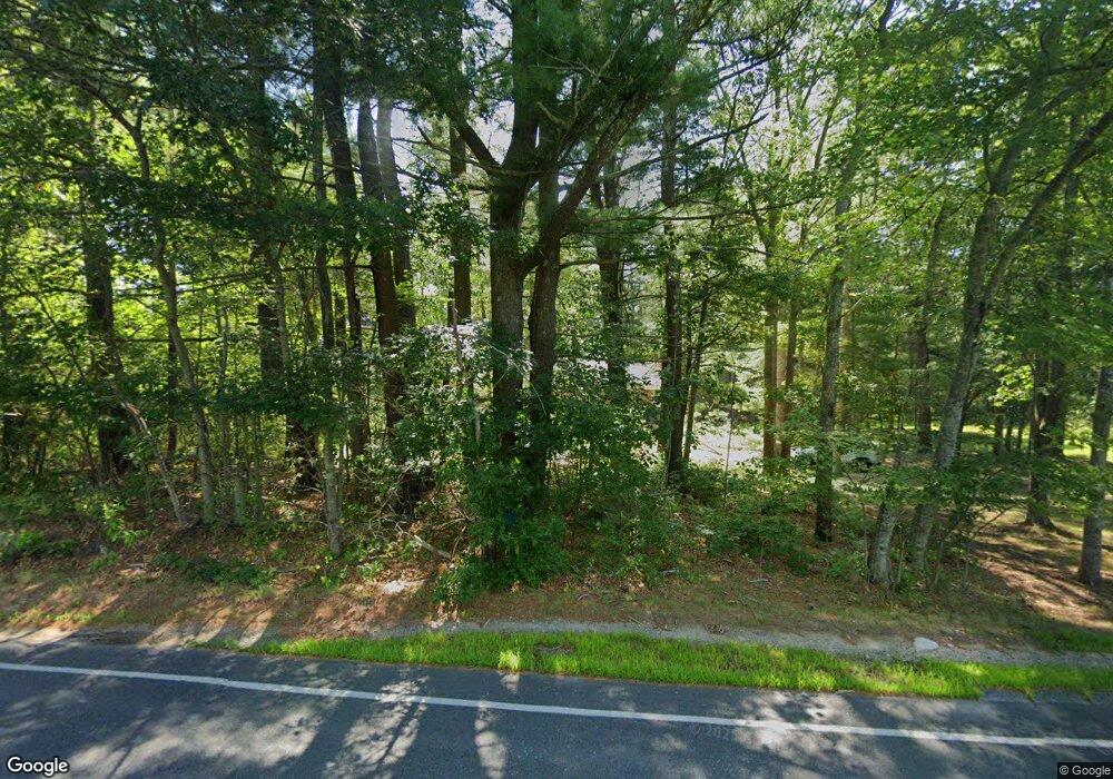
288 Perry Hill Rd Acushnet, MA 02743
Upper Acushnet NeighborhoodEstimated Value: $528,000 - $623,000
Studio
2
Baths
1,736
Sq Ft
$321/Sq Ft
Est. Value
About This Home
This home is located at 288 Perry Hill Rd, Acushnet, MA 02743 and is currently estimated at $556,959, approximately $320 per square foot. 288 Perry Hill Rd is a home located in Bristol County with nearby schools including Acushnet Elementary School, Albert F Ford Middle School, and St Francis Xavier Elementary School.
Ownership History
Date
Name
Owned For
Owner Type
Purchase Details
Closed on
Nov 7, 2011
Sold by
Wall Joan M and Wall Thomas A
Bought by
Joan M Wall Lt and Wall Joan M
Current Estimated Value
Purchase Details
Closed on
Aug 4, 1992
Sold by
Wall Thomas A and Wall Joan M
Bought by
Arena Jonathan C and Riley Margaret
Create a Home Valuation Report for This Property
The Home Valuation Report is an in-depth analysis detailing your home's value as well as a comparison with similar homes in the area
Home Values in the Area
Average Home Value in this Area
Purchase History
| Date | Buyer | Sale Price | Title Company |
|---|---|---|---|
| Joan M Wall Lt | -- | -- | |
| Arena Jonathan C | $11,500 | -- |
Source: Public Records
Mortgage History
| Date | Status | Borrower | Loan Amount |
|---|---|---|---|
| Previous Owner | Arena Jonathan C | $10,000 |
Source: Public Records
Tax History
| Year | Tax Paid | Tax Assessment Tax Assessment Total Assessment is a certain percentage of the fair market value that is determined by local assessors to be the total taxable value of land and additions on the property. | Land | Improvement |
|---|---|---|---|---|
| 2025 | $4,944 | $458,200 | $175,700 | $282,500 |
| 2024 | $4,741 | $415,500 | $166,500 | $249,000 |
| 2023 | $4,584 | $382,000 | $151,100 | $230,900 |
| 2022 | $4,556 | $343,300 | $142,100 | $201,200 |
| 2021 | $4,405 | $318,500 | $142,100 | $176,400 |
| 2020 | $4,314 | $309,500 | $133,100 | $176,400 |
| 2019 | $32,637 | $294,200 | $127,100 | $167,100 |
| 2018 | $4,036 | $279,900 | $127,100 | $152,800 |
| 2017 | $27,578 | $271,700 | $127,100 | $144,600 |
| 2016 | $3,852 | $265,100 | $127,100 | $138,000 |
| 2015 | $3,656 | $256,000 | $127,100 | $128,900 |
Source: Public Records
Map
Nearby Homes
- 0 Land Way Unit 73479153
- 489 Main St
- 1 Rounseville Rd
- 363 Main St
- 224 North St
- 7 Laura Ln
- 25 Pershing Ave
- 23 Oliveira Ave
- 41 Chershire Ave
- 0 Hathaway Rd Unit 73469544
- 12 White St
- 329 Middle Rd
- 0 Keene Rd Unit 73459818
- 199 Quaker Ln
- 7 Hamlin St
- 134 Nyes Ln
- 11 Boylston St
- 4 Sarahbeth Ln Unit 1
- 2 Hayley Cir
- 4 Hayley Cir
- Lot 2 Perry Hill Rd
- 290 Perry Hill Rd
- 289 Perry Hill Rd
- 248 Perry Hill Rd
- 294 Perry Hill Rd
- 269 Perry Hill Rd
- 302 Perry Hill Rd
- 246 Perry Hill Rd
- 291 Perry Hill Rd
- 298 Perry Hill Rd
- 244 Perry Hill Rd
- 247 Perry Hill Rd
- 249 Perry Hill Rd
- 240 Perry Hill Rd
- 245 Perry Hill Rd
- 0 New Bedford Rd
- 243 Perry Hill Rd
- 234 Perry Hill Rd
- 224 Perry Hill Rd
- 222 Perry Hill Rd
Your Personal Tour Guide
Ask me questions while you tour the home.
