288 Robert Howser Dr Dawsonville, GA 30534
Dawson County NeighborhoodEstimated Value: $394,000 - $474,675
3
Beds
2
Baths
1,600
Sq Ft
$270/Sq Ft
Est. Value
About This Home
This home is located at 288 Robert Howser Dr, Dawsonville, GA 30534 and is currently estimated at $431,919, approximately $269 per square foot. 288 Robert Howser Dr is a home located in Dawson County with nearby schools including Robinson Elementary School, Dawson County Junior High School, and Dawson County Middle School.
Ownership History
Date
Name
Owned For
Owner Type
Purchase Details
Closed on
Nov 5, 2024
Sold by
Oxenrider Patricia E and Belcher Timothy D
Bought by
Betterton Perry
Current Estimated Value
Purchase Details
Closed on
Aug 28, 1998
Sold by
Howser Robert David
Bought by
Oxendine Patricia E
Create a Home Valuation Report for This Property
The Home Valuation Report is an in-depth analysis detailing your home's value as well as a comparison with similar homes in the area
Home Values in the Area
Average Home Value in this Area
Purchase History
| Date | Buyer | Sale Price | Title Company |
|---|---|---|---|
| Betterton Perry | -- | None Listed On Document | |
| Betterton Perry | -- | None Listed On Document | |
| Oxendine Patricia E | $30,000 | -- |
Source: Public Records
Tax History Compared to Growth
Tax History
| Year | Tax Paid | Tax Assessment Tax Assessment Total Assessment is a certain percentage of the fair market value that is determined by local assessors to be the total taxable value of land and additions on the property. | Land | Improvement |
|---|---|---|---|---|
| 2024 | $2,140 | $152,560 | $35,440 | $117,120 |
| 2023 | $2,449 | $145,400 | $27,000 | $118,400 |
| 2022 | $2,145 | $102,120 | $21,280 | $80,840 |
| 2021 | $2,005 | $90,600 | $21,280 | $69,320 |
| 2020 | $1,943 | $84,120 | $16,720 | $67,400 |
| 2019 | $1,753 | $75,440 | $16,720 | $58,720 |
| 2018 | $1,756 | $75,440 | $16,720 | $58,720 |
| 2017 | $1,739 | $74,707 | $18,610 | $56,097 |
| 2016 | $1,637 | $70,452 | $18,610 | $51,842 |
| 2015 | $1,648 | $68,776 | $16,934 | $51,842 |
| 2014 | $1,455 | $59,108 | $16,934 | $42,174 |
| 2013 | -- | $51,842 | $16,934 | $34,907 |
Source: Public Records
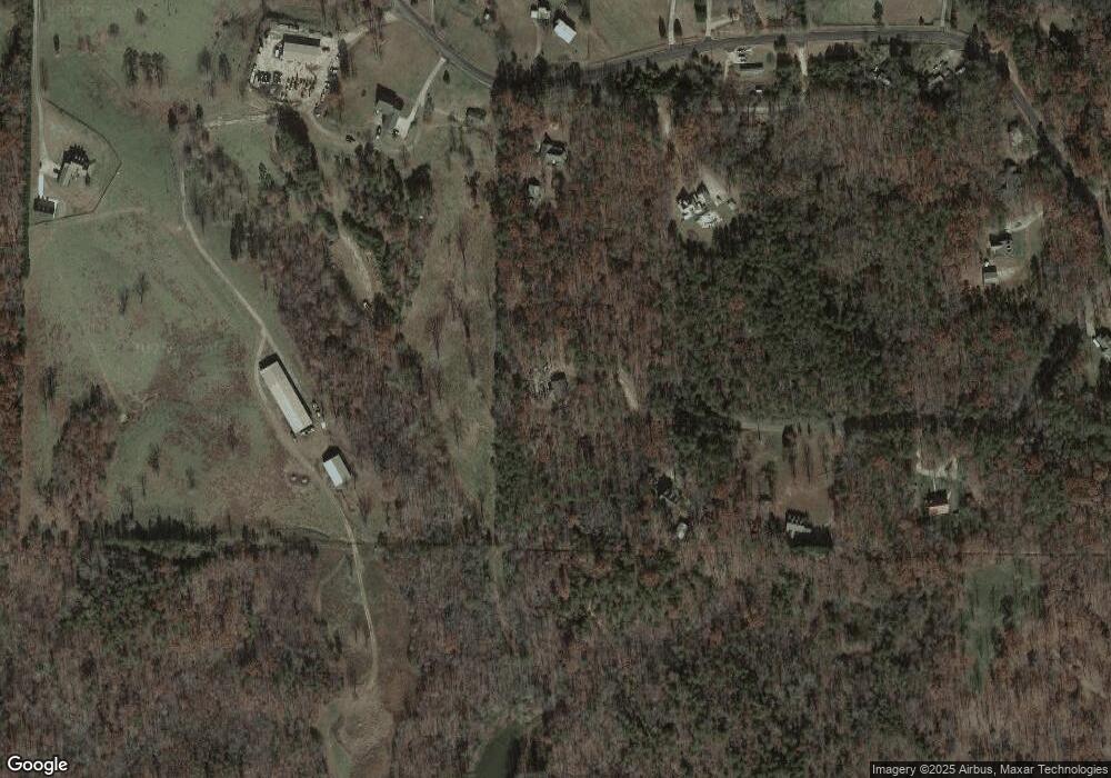
Map
Nearby Homes
- 166 Elliott Family Pkwy
- 702 Joe Lane Cox Rd Unit 201
- 702 Joe Lane Cox Rd Unit 220
- 702 Joe Lane Cox Rd Unit 102
- 700 Joe Lane Cox Rd Unit 221
- 7975 Fireside Farm Dr
- 123 Stillwater Ln
- 1606 Shoal Creek Rd
- 0 Cleve Wright Rd Unit 10602602
- 0 Cleve Wright Rd Unit 7647784
- 7165 Ellorie Estates Unit LOT 58
- Lot 2 Yancy Dr
- 6 Crawford Place
- 9 Crawford Crest
- 8 Crawford Crest
- 7 Crawford Crest
- 610 Old Henry Grady Rd
- 683 Duck Thurmond Rd
- 237 Nugget Ridge Rd
- 271 Robert Howser Dr
- 2599 Howser Mill Rd
- 2603 Howser Mill Rd
- 195 Robert Howser Dr
- 131 Robert Howser Dr
- 2801 Howser Mill Rd
- 2646 Howser Mill Rd
- 2389 Howser Mill Rd
- 2744 Howser Mill Rd
- 2810 Howser Mill Rd
- 2425 Howser Mill Rd
- 0 Rocky Top Dr
- 3039 Howser Mill Rd
- 2321 Howser Mill Rd
- 104 Hartzler Farm Rd
- 24 Hillbilly Dr
- 2486 Howser Mill Rd
- 2388 Howser Mill Rd
- 2516 Howser Mill Rd
- 2588 Howser Mill Rd