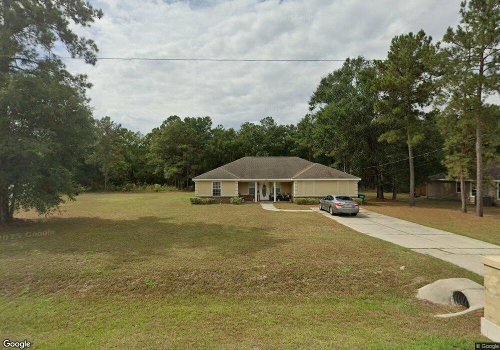
288 Sand Pine Cir Midway, FL 32343
Estimated Value: $273,395 - $285,000
3
Beds
2
Baths
1,737
Sq Ft
$160/Sq Ft
Est. Value
About This Home
This home is located at 288 Sand Pine Cir, Midway, FL 32343 and is currently estimated at $278,349, approximately $160 per square foot. 288 Sand Pine Cir is a home located in Gadsden County.
Ownership History
Date
Name
Owned For
Owner Type
Purchase Details
Closed on
Aug 15, 2008
Sold by
Chief Cornerstone Construction Co Inc
Bought by
Seabrook Shawn P
Current Estimated Value
Home Financials for this Owner
Home Financials are based on the most recent Mortgage that was taken out on this home.
Original Mortgage
$166,260
Outstanding Balance
$108,151
Interest Rate
6.32%
Mortgage Type
Unknown
Estimated Equity
$170,198
Purchase Details
Closed on
Apr 25, 2008
Sold by
Mcfarlane Winston D and Mcfarlane Paulette E
Bought by
Chief Cornerstone Construction Co Inc
Create a Home Valuation Report for This Property
The Home Valuation Report is an in-depth analysis detailing your home's value as well as a comparison with similar homes in the area
Home Values in the Area
Average Home Value in this Area
Purchase History
| Date | Buyer | Sale Price | Title Company |
|---|---|---|---|
| Seabrook Shawn P | $163,200 | Attorney | |
| Chief Cornerstone Construction Co Inc | $28,000 | Attorney |
Source: Public Records
Mortgage History
| Date | Status | Borrower | Loan Amount |
|---|---|---|---|
| Open | Seabrook Shawn P | $166,260 |
Source: Public Records
Tax History
| Year | Tax Paid | Tax Assessment Tax Assessment Total Assessment is a certain percentage of the fair market value that is determined by local assessors to be the total taxable value of land and additions on the property. | Land | Improvement |
|---|---|---|---|---|
| 2025 | $1,846 | $141,004 | -- | -- |
| 2024 | $1,780 | $137,031 | -- | -- |
| 2023 | $1,728 | $133,040 | $0 | $0 |
| 2022 | $1,659 | $129,166 | $0 | $0 |
| 2021 | $1,624 | $125,404 | $0 | $0 |
| 2020 | $1,588 | $123,673 | $0 | $0 |
| 2019 | $1,564 | $120,892 | $0 | $0 |
| 2018 | $1,563 | $118,638 | $0 | $0 |
| 2017 | $1,519 | $116,198 | $0 | $0 |
| 2016 | $1,492 | $113,808 | $0 | $0 |
| 2015 | $1,476 | $113,017 | $0 | $0 |
| 2014 | $1,437 | $112,120 | $0 | $0 |
Source: Public Records
Map
Nearby Homes
- 396 Sand Pine Cir
- 122 Loblolly Cir
- 305 Delores Madison Dr
- 17 Pine Bark Ln
- 25 Pine Bark Ln
- 34 Frank Run
- 359 Mae Cato Dr
- 407 Mae Cato Dr
- 1731 M l King Blvd
- 545 Slash Cir
- 604 Rustling Pines Blvd
- 6 Slash Ln
- 100 Roosevelt Dr
- 31 Stevens Dr
- 8877 High Bridge Rd
- 8873 High Bridge Rd
- 0 Central Rd Unit 381525
- 668 M l King Blvd
- 380 Sumpter Ridge Dr
- 325 Mine Rd
- 270 Sand Pine Cir
- 316 Sand Pine Cir
- 254 Sand Pine Cir
- 295 Sand Pine Cir
- 275 Sand Pine Cir
- 315 Sand Pine Cir
- 253 Sand Pine Cir
- 332 Sand Pine Cir
- 238 Sand Pine Cir
- 204 Loblolly Cir
- 335 Sand Pine Cir
- 335 Sand Pine C
- 335 Sand Pine
- 225 Sand Pine Cir
- 220 Loblolly Cir
- 0 Loblolly Cir Unit 295943
- 0 Loblolly Cir Unit 295942
- 188 Loblolly Cir
- 348 Sand Pine Cir
- 222 Sand Pine Cir
Your Personal Tour Guide
Ask me questions while you tour the home.