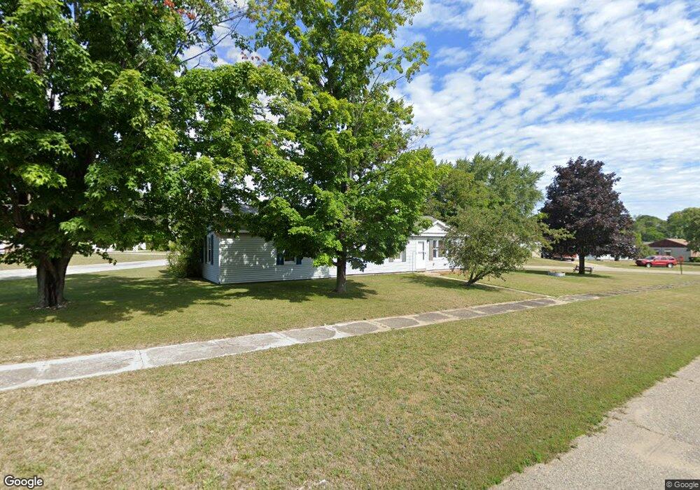
288 State St SW Oscoda, MI 48750
Estimated Value: $122,000 - $141,000
4
Beds
1
Bath
1,536
Sq Ft
$87/Sq Ft
Est. Value
About This Home
This home is located at 288 State St SW, Oscoda, MI 48750 and is currently estimated at $134,235, approximately $87 per square foot. 288 State St SW is a home located in Iosco County with nearby schools including Richardson Elementary School and Oscoda Area High School.
Ownership History
Date
Name
Owned For
Owner Type
Purchase Details
Closed on
Jul 3, 2014
Sold by
Christopher Christopher and Whitten Patricia
Bought by
Wood Robert
Current Estimated Value
Purchase Details
Closed on
Nov 21, 2008
Sold by
Wood Robert
Bought by
Clingan Christopher and Whitten Patricia
Purchase Details
Closed on
Apr 6, 2007
Sold by
Peacock Mary Lou
Bought by
Wood Robert
Create a Home Valuation Report for This Property
The Home Valuation Report is an in-depth analysis detailing your home's value as well as a comparison with similar homes in the area
Home Values in the Area
Average Home Value in this Area
Purchase History
| Date | Buyer | Sale Price | Title Company |
|---|---|---|---|
| Wood Robert | -- | -- | |
| Clingan Christopher | $76,500 | -- | |
| Wood Robert | $28,000 | -- |
Source: Public Records
Mortgage History
| Date | Status | Borrower | Loan Amount |
|---|---|---|---|
| Open | Robert M Wood T | $53,000 | |
| Closed | Wood Robert M | $47,000 |
Source: Public Records
Tax History Compared to Growth
Tax History
| Year | Tax Paid | Tax Assessment Tax Assessment Total Assessment is a certain percentage of the fair market value that is determined by local assessors to be the total taxable value of land and additions on the property. | Land | Improvement |
|---|---|---|---|---|
| 2025 | $1,750 | $64,600 | $64,600 | $0 |
| 2024 | $1,524 | $58,100 | $0 | $0 |
| 2023 | $1,057 | $47,600 | $47,600 | $0 |
| 2022 | $1,407 | $41,300 | $41,300 | $0 |
| 2021 | $1,361 | $37,100 | $37,100 | $0 |
| 2020 | $1,323 | $35,300 | $35,300 | $0 |
| 2019 | $1,306 | $34,000 | $34,000 | $0 |
| 2018 | $1,277 | $31,700 | $31,700 | $0 |
| 2017 | $1,188 | $29,000 | $29,000 | $0 |
| 2016 | $1,159 | $29,000 | $0 | $0 |
| 2015 | -- | $29,400 | $0 | $0 |
| 2014 | -- | $29,700 | $0 | $0 |
| 2013 | -- | $30,700 | $0 | $0 |
Source: Public Records
Map
Nearby Homes
- 241 Smith St
- 909 Farnsworth St
- 112 1st St N
- 430 S State St
- 891 S State St
- 879 S State St
- 4135 Forest Rd
- 4699 Johnson Rd
- 205 E Water Ave Unit 16
- 411 Ottawa Dr
- 4900 Melody St
- 3734 U S 23
- VL Vaughan Trail
- 0 Vl Vaughn Trail
- 5320 Pine St
- 5300 Cedar Lake Rd
- 3497 U S 23
- 5484 Cedar Lake Rd
- 4451 Bissonette Rd
- 8207 Florida Unit A Common
- 321 State St
- 289 State St SW
- 299 State St SW
- 279 State St SW
- 504 2nd St N
- 425 S State St Unit Was 208 S. State St.
- 269 State St SW
- 435 2nd St N
- 313 State St SW
- 260 Sycamore St
- 300 State St SW
- 250 Sycamore St
- 440 2nd St N
- 305 State St SW
- 259 State St SW
- 491 S State St
- 491 S State St
- 491 S State St
- 491 S State St
- 491 S State St