2880 Maxeys Rd Union Point, GA 30669
Estimated Value: $645,000 - $1,263,000
Studio
4
Baths
4,070
Sq Ft
$257/Sq Ft
Est. Value
About This Home
This home is located at 2880 Maxeys Rd, Union Point, GA 30669 and is currently estimated at $1,047,252, approximately $257 per square foot. 2880 Maxeys Rd is a home located in Greene County with nearby schools including Greene County High School.
Ownership History
Date
Name
Owned For
Owner Type
Purchase Details
Closed on
Nov 8, 2012
Sold by
Whatley Sam J and Barton Rice
Bought by
Cowherd Edwin R and Cowherd Sherry G
Current Estimated Value
Purchase Details
Closed on
Feb 15, 1994
Sold by
Cowherd Edwin R and Cowherd Sherry G
Bought by
Cowherd Edwin R and Cowherd Sherry G
Purchase Details
Closed on
Oct 4, 1993
Sold by
Whatley Sam J and Barton Rice M
Bought by
Cowherd Edwin R and Cowherd Sherry G
Purchase Details
Closed on
Jun 22, 1993
Sold by
Brady Properties Inc
Bought by
Whatley Sam J and Barton Rice M
Purchase Details
Closed on
Jun 21, 1993
Sold by
Bank South N A
Bought by
Brady Properties Inc
Purchase Details
Closed on
Mar 31, 1993
Sold by
Lassiter Prop
Bought by
Bank South N A
Purchase Details
Closed on
Jun 14, 1990
Sold by
Ga Southern Lumber
Bought by
Lassiter Prop
Purchase Details
Closed on
Jun 12, 1990
Sold by
Mcwhorter Wm Pope
Bought by
Ga Southern Lumber
Purchase Details
Closed on
Jan 1, 1988
Sold by
Mcwhorter Mary L
Bought by
Mcwhorter Wm Pope
Purchase Details
Closed on
Jan 1, 1971
Bought by
Mcwhorter Mary L
Create a Home Valuation Report for This Property
The Home Valuation Report is an in-depth analysis detailing your home's value as well as a comparison with similar homes in the area
Purchase History
| Date | Buyer | Sale Price | Title Company |
|---|---|---|---|
| Cowherd Edwin R | -- | -- | |
| Cowherd Edwin R | $12,500 | -- | |
| Cowherd Edwin R | $52,600 | -- | |
| Whatley Sam J | $76,000 | -- | |
| Brady Properties Inc | $56,000 | -- | |
| Bank South N A | $156,000 | -- | |
| Lassiter Prop | $30,300 | -- | |
| Ga Southern Lumber | $171,300 | -- | |
| Mcwhorter Wm Pope | -- | -- | |
| Mcwhorter Mary L | -- | -- |
Source: Public Records
Tax History
| Year | Tax Paid | Tax Assessment Tax Assessment Total Assessment is a certain percentage of the fair market value that is determined by local assessors to be the total taxable value of land and additions on the property. | Land | Improvement |
|---|---|---|---|---|
| 2025 | $2,447 | $434,800 | $211,440 | $223,360 |
| 2024 | $2,675 | $352,520 | $151,080 | $201,440 |
| 2023 | $2,386 | $301,040 | $109,160 | $191,880 |
| 2022 | $2,915 | $257,240 | $83,960 | $173,280 |
| 2021 | $2,614 | $239,880 | $83,760 | $156,120 |
| 2020 | $3,294 | $202,760 | $68,240 | $134,520 |
| 2019 | $3,356 | $202,760 | $68,240 | $134,520 |
| 2018 | $3,323 | $202,760 | $68,240 | $134,520 |
| 2017 | $3,053 | $200,128 | $68,248 | $131,880 |
Source: Public Records
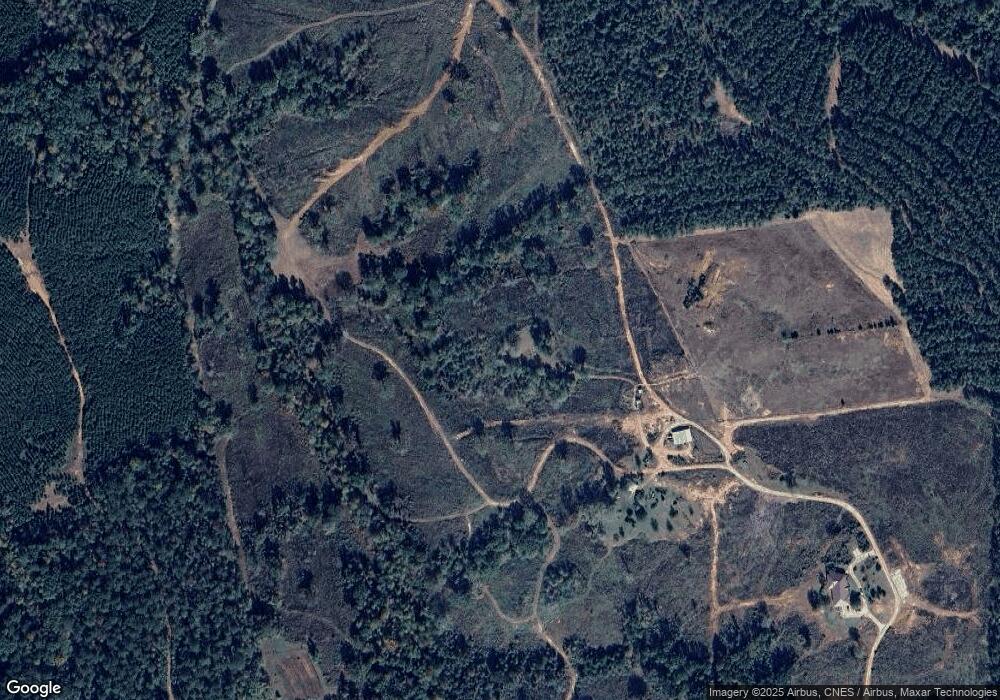
Map
Nearby Homes
- 0 Lovers Ln Unit 10690740
- 0 Lovers Ln Unit CL349036
- 5971 Penfield Rd
- 5011 Penfield Rd
- 0 Woodville Rd Unit 7667944
- 0 Woodville Rd Unit 10628010
- 1091 Peachtree Ave E
- 290 Poplar Creek Rd
- 1500 Churchwell Rd
- 181 Lower Wirebridge Rd
- 0 Lower Wirebridge Rd
- 125 Walker Gresham Rd
- 3021 Penfield Rd
- 1251 Adams Rd
- 1710 Cunningham Rd
- 2159 Shiloh Rd
- 1000 Nichols Rd
- 1774 Union Point Rd
- 1 Union Point Rd
- 0 Nichols Unit 26436706
Your Personal Tour Guide
Ask me questions while you tour the home.