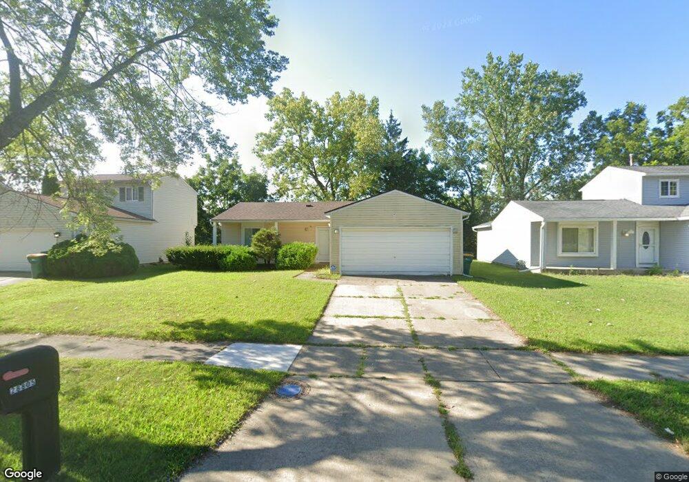
28805 Burning Tree Ln Romulus, MI 48174
Estimated Value: $206,000 - $230,561
3
Beds
2
Baths
1,148
Sq Ft
$191/Sq Ft
Est. Value
About This Home
This home is located at 28805 Burning Tree Ln, Romulus, MI 48174 and is currently estimated at $219,140, approximately $190 per square foot. 28805 Burning Tree Ln is a home located in Wayne County with nearby schools including Halecreek Elementary School, Romulus Middle School, and Romulus Senior High School.
Ownership History
Date
Name
Owned For
Owner Type
Purchase Details
Closed on
Jan 8, 2007
Sold by
Iles Kelly and The Estate Of Thomas W Makowsk
Bought by
Barbara Christine
Current Estimated Value
Purchase Details
Closed on
Mar 5, 2004
Sold by
London Leon and Suburban Investment Associates
Bought by
Makowski Thomas W
Purchase Details
Closed on
Sep 18, 2002
Sold by
Coleman Jimmie J
Bought by
Suburban Investment Assoc
Create a Home Valuation Report for This Property
The Home Valuation Report is an in-depth analysis detailing your home's value as well as a comparison with similar homes in the area
Home Values in the Area
Average Home Value in this Area
Purchase History
| Date | Buyer | Sale Price | Title Company |
|---|---|---|---|
| Barbara Christine | $133,900 | Multiple | |
| Makowski Thomas W | $131,500 | Philip R Seaver Title Co Inc | |
| Suburban Investment Assoc | $73,026 | -- |
Source: Public Records
Tax History
| Year | Tax Paid | Tax Assessment Tax Assessment Total Assessment is a certain percentage of the fair market value that is determined by local assessors to be the total taxable value of land and additions on the property. | Land | Improvement |
|---|---|---|---|---|
| 2025 | $2,368 | $119,600 | $0 | $0 |
| 2024 | $2,379 | $113,300 | $0 | $0 |
| 2023 | $2,294 | $99,200 | $0 | $0 |
| 2022 | $2,685 | $90,000 | $0 | $0 |
| 2021 | $2,605 | $73,800 | $0 | $0 |
| 2020 | $2,559 | $72,300 | $0 | $0 |
| 2019 | $2,559 | $59,700 | $0 | $0 |
| 2018 | $1,699 | $46,500 | $0 | $0 |
| 2017 | $1,216 | $46,000 | $0 | $0 |
| 2016 | $2,227 | $47,600 | $0 | $0 |
| 2015 | $4,222 | $45,500 | $0 | $0 |
| 2013 | $4,090 | $44,600 | $0 | $0 |
| 2012 | $1,318 | $43,100 | $4,800 | $38,300 |
Source: Public Records
Map
Nearby Homes
- 28567 Forest Dale St
- 28510 Halecreek St
- 16265 Harrison
- 16277 Harrison
- 28339 Leroy St
- 15654 Isabelle St
- 15777 Harrison
- 16913 Aberdeen Dr Unit 220
- 15756 Woodmont St
- 15721 Harrison St
- 16110 Farnum St
- 16068 Middlebelt Rd
- 15350 Woodmont St
- 15900 Sandburg St
- 29934 Spain St
- 30058 Halecreek St
- 00 Eureka Rd
- 15521 Brandt St
- 15532 Wellington St
- 30455 Cherry Ave
- 28771 Burning Tree Ln
- 28819 Burning Tree Ln
- 28745 Burning Tree Ln
- 28833 Burning Tree Ln
- 28737 Burning Tree Ln
- 28812 Burning Tree Ln
- 28764 Burning Tree Ln
- 28828 Burning Tree Ln
- 28729 Burning Tree L Annapolis St
- 28748 Burning Tree Ln
- 28729 Burning Tree Ln
- 28734 Burning Tree Ln
- 28861 Burning Tree Ln
- 28842 Burning Tree Ln
- 28856 Burning Tree Ln
- 28811 Leroy St
- 28715 Burning Tree Ln
- 16251 Cedar Way St
- 28825 Leroy St
- 28720 Burning Tree Ln
Your Personal Tour Guide
Ask me questions while you tour the home.