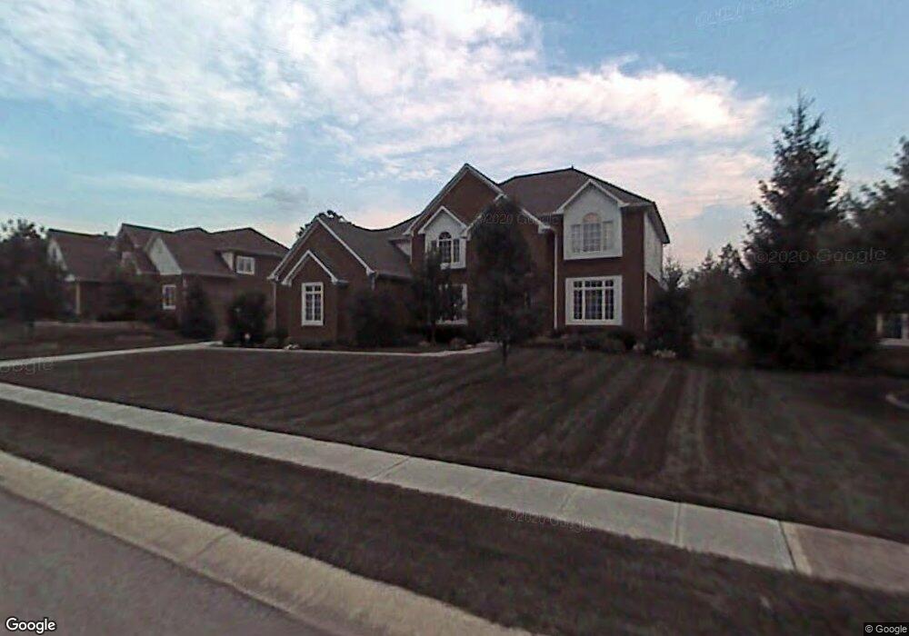
2881 Hazel Foster Dr Carmel, IN 46033
East Carmel NeighborhoodEstimated Value: $805,000 - $1,074,000
5
Beds
5
Baths
4,900
Sq Ft
$183/Sq Ft
Est. Value
About This Home
This home is located at 2881 Hazel Foster Dr, Carmel, IN 46033 and is currently estimated at $896,592, approximately $182 per square foot. 2881 Hazel Foster Dr is a home located in Hamilton County with nearby schools including Cherry Tree Elementary School, Clay Middle School, and Carmel High School.
Ownership History
Date
Name
Owned For
Owner Type
Purchase Details
Closed on
Aug 14, 2002
Sold by
Quadrant Development Co Inc
Bought by
Finn Michael J and Finn Melony G
Current Estimated Value
Home Financials for this Owner
Home Financials are based on the most recent Mortgage that was taken out on this home.
Original Mortgage
$225,000
Interest Rate
6.64%
Mortgage Type
Purchase Money Mortgage
Create a Home Valuation Report for This Property
The Home Valuation Report is an in-depth analysis detailing your home's value as well as a comparison with similar homes in the area
Home Values in the Area
Average Home Value in this Area
Purchase History
| Date | Buyer | Sale Price | Title Company |
|---|---|---|---|
| Finn Michael J | -- | -- |
Source: Public Records
Mortgage History
| Date | Status | Borrower | Loan Amount |
|---|---|---|---|
| Closed | Finn Michael J | $225,000 |
Source: Public Records
Tax History Compared to Growth
Tax History
| Year | Tax Paid | Tax Assessment Tax Assessment Total Assessment is a certain percentage of the fair market value that is determined by local assessors to be the total taxable value of land and additions on the property. | Land | Improvement |
|---|---|---|---|---|
| 2024 | $7,519 | $695,700 | $169,400 | $526,300 |
| 2023 | $7,544 | $666,500 | $117,400 | $549,100 |
| 2022 | $6,122 | $533,500 | $117,400 | $416,100 |
| 2021 | $5,190 | $456,300 | $117,400 | $338,900 |
| 2020 | $5,190 | $456,300 | $117,400 | $338,900 |
| 2019 | $5,121 | $450,300 | $85,600 | $364,700 |
| 2018 | $5,077 | $454,600 | $85,600 | $369,000 |
| 2017 | $4,826 | $432,300 | $85,600 | $346,700 |
| 2016 | $4,945 | $449,900 | $85,600 | $364,300 |
| 2014 | $4,666 | $427,300 | $84,000 | $343,300 |
| 2013 | $4,666 | $418,000 | $84,000 | $334,000 |
Source: Public Records
Map
Nearby Homes
- 2945 Millgate Dr
- 14610 Village Park Dr E
- 3172 Smokey Ridge Ln
- 14011 Grisham Dr
- 2913 Twain Dr
- 3248 Smokey Ridge Way
- 14554 Taylor Trace Dr
- 14906 Mia Dr
- 14928 Oak Rd
- 2636 E Mae Cir
- 14901 Windmill Dr
- 13615 Smokey Hollow Place
- 2410 E Silver Ct
- 14980 Oak Hollow Ln E
- 15003 Oak Hollow Ln W
- 1504 Dorchester Place
- 1483 Spruce Dr
- 211 John St
- 57 Monon Ln
- 781 Dayton Dr
- 2841 Hazel Foster Dr
- 2732 Matt Ct
- 2882 Hazel Foster Dr
- 2862 Hazel Foster Dr
- 2921 Hazel Foster Dr
- 14351 Jeremy Dr
- 14347 Jeremy Dr
- 2902 Hazel Foster Dr
- 2821 Hazel Foster Dr
- 2842 Hazel Foster Dr
- 2728 Matt Ct
- 2736 Matt Ct
- 14343 Jeremy Dr
- 2922 Hazel Foster Dr
- 2941 Hazel Foster Dr
- 2822 Hazel Foster Dr
- 2733 Matt Ct
- 2861 Jeremy Ct
- 2942 Hazel Foster Dr
- 14397 Jeremy Dr