2883 Teasley Rd Elberton, GA 30635
Estimated Value: $264,000 - $381,612
--
Bed
1
Bath
1,568
Sq Ft
$196/Sq Ft
Est. Value
About This Home
This home is located at 2883 Teasley Rd, Elberton, GA 30635 and is currently estimated at $306,653, approximately $195 per square foot. 2883 Teasley Rd is a home located in Elbert County with nearby schools including Elbert County Primary School, Elbert County Elementary School, and Elbert County Middle School.
Ownership History
Date
Name
Owned For
Owner Type
Purchase Details
Closed on
Oct 3, 2024
Sold by
Teasley Joe Timothy
Bought by
Teasley Farms Llc
Current Estimated Value
Purchase Details
Closed on
Oct 11, 2017
Sold by
Teasley Michael R
Bought by
Teasley Joe T
Purchase Details
Closed on
Feb 18, 2005
Sold by
Teasley Thomas E
Bought by
Teasley Joe T and Teasley Michael R
Purchase Details
Closed on
Jul 1, 1994
Purchase Details
Closed on
Jan 1, 1936
Purchase Details
Closed on
Jan 1, 1934
Create a Home Valuation Report for This Property
The Home Valuation Report is an in-depth analysis detailing your home's value as well as a comparison with similar homes in the area
Home Values in the Area
Average Home Value in this Area
Purchase History
| Date | Buyer | Sale Price | Title Company |
|---|---|---|---|
| Teasley Farms Llc | -- | -- | |
| Teasley Joe T | -- | -- | |
| Teasley Joe T | -- | -- | |
| -- | -- | -- | |
| -- | -- | -- | |
| -- | -- | -- |
Source: Public Records
Tax History Compared to Growth
Tax History
| Year | Tax Paid | Tax Assessment Tax Assessment Total Assessment is a certain percentage of the fair market value that is determined by local assessors to be the total taxable value of land and additions on the property. | Land | Improvement |
|---|---|---|---|---|
| 2024 | $1,094 | $127,368 | $109,425 | $17,943 |
| 2023 | $1,077 | $127,368 | $109,425 | $17,943 |
| 2022 | $1,181 | $90,036 | $65,960 | $24,076 |
| 2021 | $1,167 | $90,036 | $65,960 | $24,076 |
| 2020 | $1,255 | $88,294 | $65,960 | $22,334 |
| 2019 | $1,270 | $90,321 | $67,987 | $22,334 |
| 2018 | $1,289 | $90,321 | $67,987 | $22,334 |
| 2017 | $1,295 | $76,491 | $56,603 | $19,888 |
| 2016 | $1,192 | $76,491 | $56,603 | $19,888 |
| 2015 | -- | $76,491 | $56,603 | $19,888 |
| 2014 | -- | $76,604 | $56,603 | $20,001 |
| 2013 | -- | $76,604 | $56,603 | $20,001 |
Source: Public Records
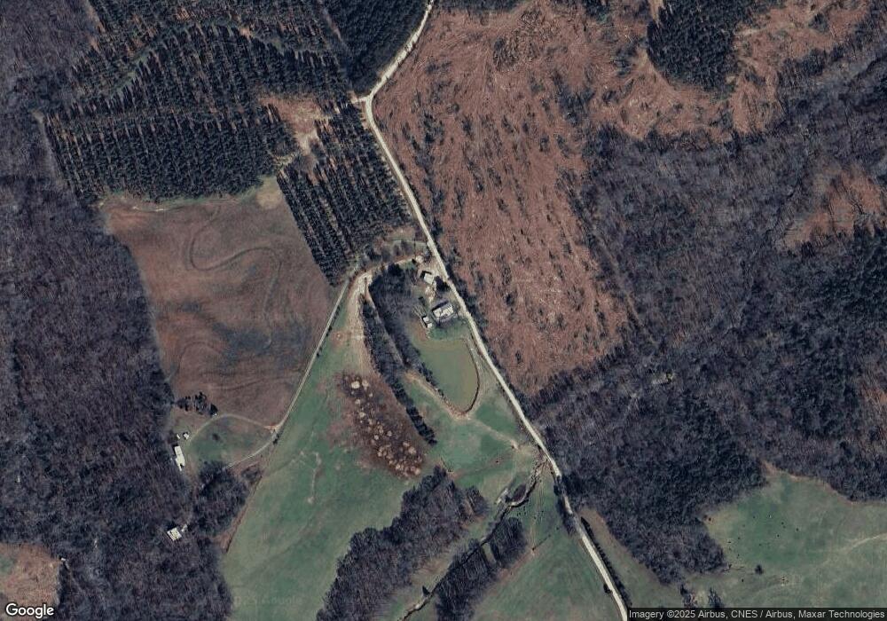
Map
Nearby Homes
- 2946 Rock Branch Rd
- 3113 Press Mann Rd
- 0 Anderson Hwy Unit 24629664
- 0 Anderson Hwy Unit 10536298
- 0 Moore Rd Unit 10552577
- 2154 Far-A-way Rd
- 0 Far-A-way Rd
- 0 Far-A-way Rd Unit 1026251
- 2166 Far A Way Rd
- 2187 Turner Hill Rd
- 0 Gregg Shoals Dr Unit 10497348
- 0 Gregg Shoals Dr Unit CL342115
- 0 Gregg Shoals Dr Unit LotWP001 24031325
- 0 Jacks Hat Rd Unit 10614621
- 0 Jacks Hat Rd Unit 24288811
- 0 Jacks Hat Rd Unit 10597905
- 0 Jacks Hat Rd Unit 7657227
- 0 Pickens Point Dr Unit CL337116
- 0 Pickens Point Dr Unit 10588711
- 0 Hornets Bridge Rd Unit 10523059
- 2893 Teasley Rd
- 3023 Teasley Rd
- 1953 Coldwater Rd
- 2846 Press Mann Rd
- 1993 Coldwater Rd
- 2005 Coldwater Rd
- 1937 Coldwater Rd
- 2861 Press Mann Rd
- 2861 Press Mann Rd
- 1897 Coldwater Rd
- 2844 Press Mann Rd
- 2011 Coldwater Rd
- 2052 Coldwater Rd
- 2860 Indian Rock Rd
- 0 Kohl Rd
- 10 Kohl Rd
- 1929 Coldwater Rd
- 0 Press Mann Rd Unit 3162192
- 2924 Press Mann Rd
- 2862 Indian Rock Rd