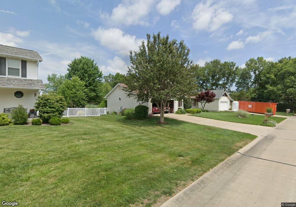
2883 White Stable Dr O Fallon, MO 63368
Estimated Value: $320,000 - $349,000
3
Beds
2
Baths
1,410
Sq Ft
$237/Sq Ft
Est. Value
About This Home
This home is located at 2883 White Stable Dr, O Fallon, MO 63368 and is currently estimated at $333,580, approximately $236 per square foot. 2883 White Stable Dr is a home located in St. Charles County with nearby schools including Pheasant Point Elementary School, Fort Zumwalt South Middle School, and Fort Zumwalt South High School.
Ownership History
Date
Name
Owned For
Owner Type
Purchase Details
Closed on
Mar 27, 1998
Sold by
Eckert Robert G Mccune Teresa A and Eckert Teresa A
Bought by
Branstetter Malcolm L and Branstetter Frances S
Current Estimated Value
Home Financials for this Owner
Home Financials are based on the most recent Mortgage that was taken out on this home.
Original Mortgage
$80,000
Interest Rate
7.17%
Create a Home Valuation Report for This Property
The Home Valuation Report is an in-depth analysis detailing your home's value as well as a comparison with similar homes in the area
Home Values in the Area
Average Home Value in this Area
Purchase History
| Date | Buyer | Sale Price | Title Company |
|---|---|---|---|
| Branstetter Malcolm L | $111,000 | -- |
Source: Public Records
Mortgage History
| Date | Status | Borrower | Loan Amount |
|---|---|---|---|
| Closed | Branstetter Malcolm L | $80,000 |
Source: Public Records
Tax History
| Year | Tax Paid | Tax Assessment Tax Assessment Total Assessment is a certain percentage of the fair market value that is determined by local assessors to be the total taxable value of land and additions on the property. | Land | Improvement |
|---|---|---|---|---|
| 2025 | $3,431 | $59,413 | -- | -- |
| 2023 | $3,434 | $52,040 | $0 | $0 |
| 2022 | $2,870 | $40,485 | $0 | $0 |
| 2021 | $2,878 | $40,485 | $0 | $0 |
| 2020 | $2,785 | $37,708 | $0 | $0 |
| 2019 | $2,791 | $37,708 | $0 | $0 |
| 2018 | $2,641 | $34,121 | $0 | $0 |
| 2017 | $2,597 | $34,121 | $0 | $0 |
| 2016 | $2,407 | $30,369 | $0 | $0 |
| 2015 | $2,243 | $30,369 | $0 | $0 |
| 2014 | $2,125 | $28,375 | $0 | $0 |
Source: Public Records
Map
Nearby Homes
- 249 Dardenne Farms Dr
- 6519 Star Buck Dr
- 1343 Avondale Spring Dr
- 71 Harrisburg Ct
- 178 Christina Marie Dr
- 174 Christina Marie Dr
- 703 Tinsley Ct
- 112 Auburn Trace Pointe Ct
- 180 Jacobs Way
- 527 Auburn Trace Ln
- 103 Auburn Trace Point
- 531 John Pitman Dr
- 2662 Breckenridge Cir
- 7 Shetland Pony Ct
- 3 Royallbend Ct
- 367 Shamrock St
- 361 Shamrock St
- 474 Calumet Ranch Trail
- 101 Winterbrooke Ct
- 425 Round Tower Dr W
- 2887 White Stable Dr
- 1177 Spring Orchard Dr
- 2882 White Stable Dr
- 1175 Spring Orchard Dr
- 2900 Wheatfield Farms Dr
- 2901 White Stable Dr
- 1173 Spring Orchard Dr
- 1058 Golden Orchard Dr
- 2904 Wheatfield Farms Dr
- 3 Enclave Ct
- 2902 White Stable Dr
- 1171 Spring Orchard Dr
- 2905 White Stable Dr
- 0TBB LOT 3 Baltimore @ Enclave Heritage
- 3 Enclave Ct
- 3 Enclave Ct
- 97 Lac Terre Ct
- 1056 Golden Orchard Dr
- 672 Logan Valley Dr
- 2908 Wheatfield Farms Dr
Your Personal Tour Guide
Ask me questions while you tour the home.