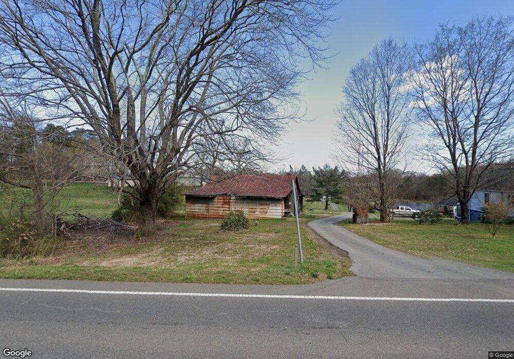
2884 Us Highway 601 N Mocksville, NC 27028
Estimated Value: $182,329 - $257,000
3
Beds
1
Bath
896
Sq Ft
$246/Sq Ft
Est. Value
About This Home
This home is located at 2884 Us Highway 601 N, Mocksville, NC 27028 and is currently estimated at $220,776, approximately $246 per square foot. 2884 Us Highway 601 N is a home located in Davie County with nearby schools including William R. Davie Elementary School, North Davie Middle School, and Davie County High School.
Ownership History
Date
Name
Owned For
Owner Type
Purchase Details
Closed on
Jan 13, 2023
Sold by
Norman Mary B
Bought by
Norman Mary B
Current Estimated Value
Purchase Details
Closed on
Mar 22, 2006
Sold by
Davidson Kimberlie Storie and Davidson Keith
Bought by
Norman Mary B and Norman Jerry
Purchase Details
Closed on
Jul 21, 2005
Sold by
Norman Mary B and Norman Jerry
Bought by
Davidson Kimberlie and Davidson Keith
Home Financials for this Owner
Home Financials are based on the most recent Mortgage that was taken out on this home.
Original Mortgage
$999,000
Interest Rate
5.51%
Mortgage Type
New Conventional
Purchase Details
Closed on
Sep 1, 1987
Create a Home Valuation Report for This Property
The Home Valuation Report is an in-depth analysis detailing your home's value as well as a comparison with similar homes in the area
Home Values in the Area
Average Home Value in this Area
Purchase History
| Date | Buyer | Sale Price | Title Company |
|---|---|---|---|
| Norman Mary B | -- | -- | |
| Norman Mary B | -- | None Listed On Document | |
| Norman Mary B | -- | -- | |
| Davidson Kimberlie | -- | -- | |
| -- | $47,500 | -- |
Source: Public Records
Mortgage History
| Date | Status | Borrower | Loan Amount |
|---|---|---|---|
| Previous Owner | Davidson Kimberlie | $999,000 |
Source: Public Records
Tax History Compared to Growth
Tax History
| Year | Tax Paid | Tax Assessment Tax Assessment Total Assessment is a certain percentage of the fair market value that is determined by local assessors to be the total taxable value of land and additions on the property. | Land | Improvement |
|---|---|---|---|---|
| 2025 | $678 | $164,510 | $43,160 | $121,350 |
| 2024 | $477 | $93,780 | $39,610 | $54,170 |
| 2023 | $477 | $93,780 | $39,610 | $54,170 |
| 2022 | $477 | $93,780 | $39,610 | $54,170 |
| 2021 | $477 | $93,780 | $39,610 | $54,170 |
| 2020 | $477 | $92,980 | $39,610 | $53,370 |
| 2019 | $723 | $92,980 | $39,610 | $53,370 |
| 2018 | $723 | $92,980 | $39,610 | $53,370 |
| 2017 | $714 | $92,980 | $0 | $0 |
| 2016 | $740 | $96,330 | $0 | $0 |
| 2015 | $740 | $96,330 | $0 | $0 |
| 2014 | $636 | $96,330 | $0 | $0 |
| 2013 | -- | $96,330 | $0 | $0 |
Source: Public Records
Map
Nearby Homes
- 161 Murphy Meadow Rd
- 165 Murphy Meadow Rd
- 168 Murphy Rd
- 167 Murphy Meadow Rd
- 172 Murphy Meadow Rd
- 171 Murphy Meadow Rd
- 114 Danner Rd
- 187 Caravan Ln
- 550 Danner Rd
- 192 Culloden Dr
- 108 Arrendal Ct
- 118 Arrendal Ct
- 153 Summerlyn Dr
- 0 Ralph Ratledge Rd
- 5304 U S Highway 601 N
- 00 Angell Rd
- Knollwood Plan at Providence Place
- Aster Plan at Providence Place
- Ledford Plan at Providence Place
- Cotton Grove Plan at Providence Place
- 132 Happy Trail
- 2838 Us Highway 601 N
- 2881 Us Highway 601 N
- 2881 Us Highway 601 N
- 2934 U S 601
- 2941 Us Highway 601 N
- 168 Bracken Rd
- 2967 Us Highway 601 N
- 212 Bracken Rd
- 2976 Us Highway 601 N
- 179 Candlewick Ln
- 173 Bracken Rd
- 2913 Us Highway 601 N
- 199 Bracken Rd
- 157 Bracken Rd
- 222 Bracken Rd
- 217 Bracken Rd
- 234 Bracken Rd
- 231 Bracken Rd
- 0 Bracken Rd