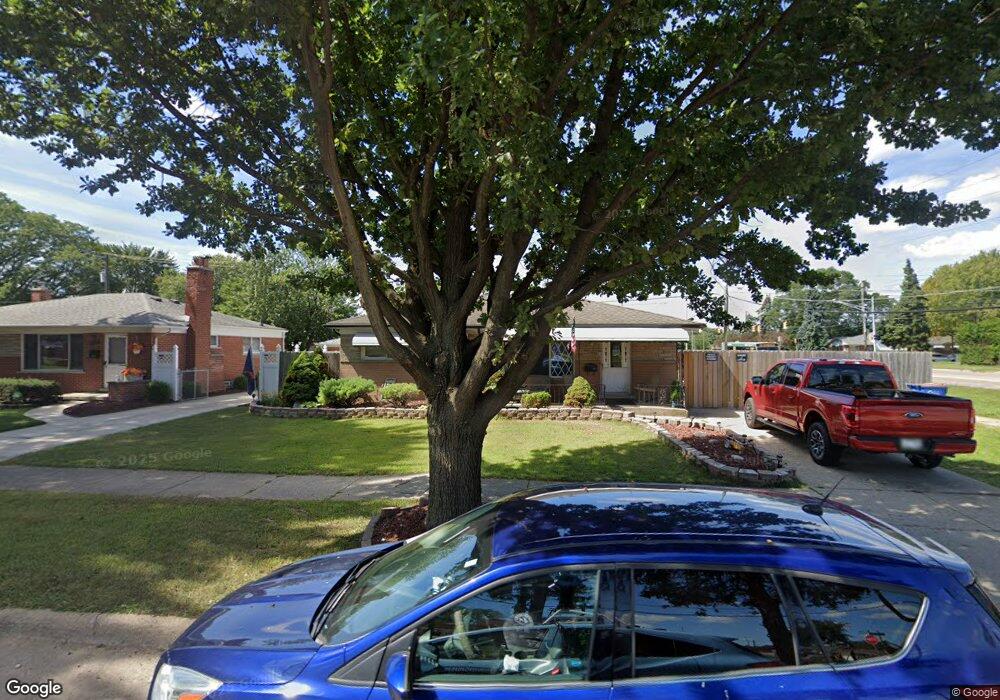
28849 Adler Dr Warren, MI 48088
Northeast Warren NeighborhoodEstimated Value: $214,648 - $246,000
3
Beds
2
Baths
933
Sq Ft
$243/Sq Ft
Est. Value
About This Home
This home is located at 28849 Adler Dr, Warren, MI 48088 and is currently estimated at $226,412, approximately $242 per square foot. 28849 Adler Dr is a home located in Macomb County with nearby schools including Warren Woods Tower High School, Frontier International Academy Elementary, and Warren Woods Christian School.
Ownership History
Date
Name
Owned For
Owner Type
Purchase Details
Closed on
Mar 10, 2025
Sold by
Larivee Lisa and Talos Leah
Bought by
Stone Kenneth
Current Estimated Value
Home Financials for this Owner
Home Financials are based on the most recent Mortgage that was taken out on this home.
Original Mortgage
$127,187
Interest Rate
6.67%
Mortgage Type
FHA
Purchase Details
Closed on
Oct 29, 2014
Sold by
Shields Rosalie Elaine and Talos Leah M
Bought by
Shields Rosalie Elaine and Stone Kenneth
Create a Home Valuation Report for This Property
The Home Valuation Report is an in-depth analysis detailing your home's value as well as a comparison with similar homes in the area
Home Values in the Area
Average Home Value in this Area
Purchase History
We collect this data history from publicly available records. To have your information removed, we recommend requesting removal directly through your county’s website.
| Date | Buyer | Sale Price | Title Company |
|---|---|---|---|
| Stone Kenneth | -- | None Listed On Document | |
| Shields Rosalie Elaine | -- | None Available |
Source: Public Records
Mortgage History
We collect this data history from publicly available records. To have your information removed, we recommend requesting removal directly through your county’s website.
| Date | Status | Borrower | Loan Amount |
|---|---|---|---|
| Previous Owner | Stone Kenneth | $127,187 |
Source: Public Records
Tax History
| Year | Tax Paid | Tax Assessment Tax Assessment Total Assessment is a certain percentage of the fair market value that is determined by local assessors to be the total taxable value of land and additions on the property. | Land | Improvement |
|---|---|---|---|---|
| 2025 | $2,742 | $95,540 | $0 | $0 |
| 2024 | $27 | $92,330 | $0 | $0 |
| 2023 | $2,528 | $83,740 | $0 | $0 |
| 2022 | $2,479 | $74,700 | $0 | $0 |
| 2021 | $2,432 | $68,660 | $0 | $0 |
| 2020 | $2,331 | $64,860 | $0 | $0 |
| 2019 | $2,227 | $60,350 | $0 | $0 |
| 2018 | $3,006 | $55,300 | $0 | $0 |
| 2017 | $2,876 | $51,410 | $11,670 | $39,740 |
| 2016 | $2,914 | $51,410 | $0 | $0 |
| 2015 | -- | $46,440 | $0 | $0 |
| 2012 | -- | $43,150 | $0 | $0 |
Source: Public Records
Map
Nearby Homes
- 13019 Stanley Dr
- 29108 Dover Ave
- 28263 Newport Dr
- 54765 Palomino Ave
- 29230 Moulin Ave
- 29667 Newport Dr
- 28644 Imperial Dr Unit 12
- 29531 Eiffel Ave
- 29337 Roan Dr
- 29146 Bonnie Dr
- 13646 Edwin Ct
- 29619 Pinto Dr
- 29642 Pinto Dr
- 28013 Roan Dr
- 28640 Bradner Dr
- 29639 Malvina Dr
- 13412 Common Rd
- 13216 Cromie Dr
- 12855 Ray Dr
- 28460 Bradner Dr
- 28837 Adler Dr
- 28850 Newport Dr
- 28825 Adler Dr
- 28826 Newport Dr
- 28811 Adler Dr
- 29104 Newport Dr
- 12861 E 12 Mile Rd
- 12873 E 12 Mile Rd
- 28814 Newport Dr
- 12915 Twelve Mile Rd
- 12980 E 12 Mile Rd
- 12885 E 12 Mile Rd
- 12917 Stanley Dr
- 12885 E Twelve Mile Rd
- 28801 Adler Dr
- 12915 E 12 Mile Rd
- 28802 Newport Dr
- 29116 Newport Dr
- 12929 Stanley Dr
- 12927 E 12 Mile Rd
Your Personal Tour Guide
Ask me questions while you tour the home.