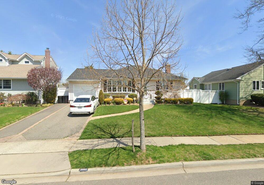
2885 Lindale St Wantagh, NY 11793
Estimated Value: $704,054 - $801,000
--
Bed
2
Baths
1,378
Sq Ft
$546/Sq Ft
Est. Value
About This Home
This home is located at 2885 Lindale St, Wantagh, NY 11793 and is currently estimated at $752,527, approximately $546 per square foot. 2885 Lindale St is a home located in Nassau County with nearby schools including Weatherford West Elementary School, Lt. General Thomas P. Stafford Elementary School, and Grand Avenue Middle School.
Ownership History
Date
Name
Owned For
Owner Type
Purchase Details
Closed on
Aug 27, 2014
Sold by
Hassan Patricia
Bought by
Patricia Hassan Family Trust
Current Estimated Value
Purchase Details
Closed on
Jul 7, 2005
Sold by
Levy Robert
Bought by
Hassan Patricia
Purchase Details
Closed on
Dec 10, 1996
Sold by
Calicchio Peter
Bought by
Levy Robert and Levy Cheryl
Create a Home Valuation Report for This Property
The Home Valuation Report is an in-depth analysis detailing your home's value as well as a comparison with similar homes in the area
Home Values in the Area
Average Home Value in this Area
Purchase History
| Date | Buyer | Sale Price | Title Company |
|---|---|---|---|
| Patricia Hassan Family Trust | -- | Judicial Title | |
| Hassan Patricia | $540,000 | -- | |
| Levy Robert | $182,000 | -- |
Source: Public Records
Tax History Compared to Growth
Tax History
| Year | Tax Paid | Tax Assessment Tax Assessment Total Assessment is a certain percentage of the fair market value that is determined by local assessors to be the total taxable value of land and additions on the property. | Land | Improvement |
|---|---|---|---|---|
| 2025 | $9,627 | $447 | $184 | $263 |
| 2024 | $3,186 | $458 | $189 | $269 |
| 2023 | $9,241 | $480 | $198 | $282 |
| 2022 | $9,241 | $480 | $198 | $282 |
| 2021 | $11,922 | $460 | $190 | $270 |
| 2020 | $8,453 | $596 | $561 | $35 |
| 2019 | $7,689 | $638 | $562 | $76 |
| 2018 | $7,779 | $681 | $0 | $0 |
| 2017 | $6,798 | $895 | $600 | $295 |
| 2016 | $10,790 | $895 | $600 | $295 |
| 2015 | -- | $895 | $600 | $295 |
| 2014 | -- | $895 | $600 | $295 |
| 2013 | $3,257 | $895 | $600 | $295 |
Source: Public Records
Map
Nearby Homes
- 1483 Crown St
- 1497 Carroll St
- 2889 Anderson St
- 2730 Orchard St
- 2800 Pacific St
- 1529 Fenimore St
- 1680 Cornelius Ave
- 1914 Bergen St
- 1708 Cornelius Ave
- 2730 Court St
- 1541 Bellmore Rd
- 2780 Natta Blvd
- 2595 Castle Ct
- 1427 Bellmore Rd
- 3056 Valentine Place
- 3019 Post Ave
- 1787 Madison Ave
- 17 Hannington Ave
- 1243 Peapond Rd
- 1773 Roland Ave
- 2879 Lindale St
- 2881 Noel Ct
- 2893 Noel Ct
- 2932 Montgomery St
- 2926 Montgomery St
- 2886 Lindale St
- 2895 Noel Ct
- 2880 Lindale St
- 2938 Montgomery St
- 2892 Lindale St
- 2861 Lindale St
- 2903 Noel Ct
- 2898 Lindale St
- 2944 Montgomery St
- 2868 Lindale St
- 2868 Lindale St
- 2901 Noel Ct
- 2897 Noel Ct
- 2887 Holiday Ct
- 2899 Noel Ct