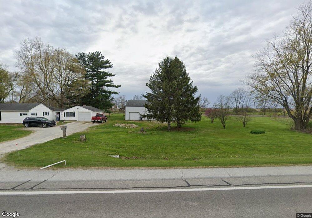
28850 N State Road 19 Atlanta, IN 46031
Estimated Value: $190,000 - $288,000
3
Beds
1
Bath
1,348
Sq Ft
$185/Sq Ft
Est. Value
About This Home
This home is located at 28850 N State Road 19, Atlanta, IN 46031 and is currently estimated at $249,953, approximately $185 per square foot. 28850 N State Road 19 is a home located in Hamilton County with nearby schools including Hamilton Heights Primary School, Hamilton Heights Elementary School, and Hamilton Heights Middle School.
Ownership History
Date
Name
Owned For
Owner Type
Purchase Details
Closed on
Jun 17, 2020
Sold by
Dick Roger Alan and Dick Jeffery David
Bought by
Dick Roger A
Current Estimated Value
Home Financials for this Owner
Home Financials are based on the most recent Mortgage that was taken out on this home.
Original Mortgage
$84,000
Interest Rate
3.2%
Mortgage Type
New Conventional
Purchase Details
Closed on
Aug 22, 2019
Sold by
Dick Roger Alan and Dick Jeffery David
Bought by
Dick Roger Alan and Dick Jeffery David
Create a Home Valuation Report for This Property
The Home Valuation Report is an in-depth analysis detailing your home's value as well as a comparison with similar homes in the area
Home Values in the Area
Average Home Value in this Area
Purchase History
| Date | Buyer | Sale Price | Title Company |
|---|---|---|---|
| Dick Roger A | -- | Chicago Title Company Llc | |
| Dick Roger Alan | -- | None Available |
Source: Public Records
Mortgage History
| Date | Status | Borrower | Loan Amount |
|---|---|---|---|
| Closed | Dick Roger A | $84,000 |
Source: Public Records
Tax History Compared to Growth
Tax History
| Year | Tax Paid | Tax Assessment Tax Assessment Total Assessment is a certain percentage of the fair market value that is determined by local assessors to be the total taxable value of land and additions on the property. | Land | Improvement |
|---|---|---|---|---|
| 2024 | $1,558 | $154,200 | $77,100 | $77,100 |
| 2023 | $1,608 | $151,100 | $77,100 | $74,000 |
| 2022 | $1,605 | $144,100 | $77,100 | $67,000 |
| 2021 | $1,512 | $136,900 | $77,100 | $59,800 |
| 2020 | $1,478 | $132,600 | $77,100 | $55,500 |
| 2019 | $522 | $104,600 | $38,500 | $66,100 |
| 2018 | $598 | $107,800 | $38,500 | $69,300 |
| 2017 | $617 | $103,500 | $38,500 | $65,000 |
| 2016 | $594 | $103,100 | $38,500 | $64,600 |
| 2014 | $523 | $96,600 | $35,600 | $61,000 |
| 2013 | $523 | $93,300 | $35,600 | $57,700 |
Source: Public Records
Map
Nearby Homes
- 350 S Broadway St
- 220 S Walnut St
- 210 S Walnut St
- 950 W 600 S
- 4978 Indiana 19
- 209 Howard Ave E
- 402 E Main St
- 1620 E 266th St
- 504 Marion Ave
- 509 S East St
- 507 Marion Ave
- 26595 Mount Pleasant Rd
- 405 E Howard Ave
- 26270 Indiana 19
- Norway Plan at Langdon Crossing
- Cooper Plan at Langdon Crossing
- Ashton Plan at Langdon Crossing
- Aspen II Plan at Langdon Crossing
- Spruce Plan at Langdon Crossing
- Empress Plan at Langdon Crossing
- 28840 N State Road 19
- 28845 N State Road 19
- 28820 N State Road 19
- 755 S Indiana St
- 795 S Indiana St
- 700 S Indiana St
- 735 S Indiana St
- 28815 N State Road 19
- 705 S Indiana St
- 670 S Central St
- 640 S Central St
- 600 S Indiana St
- 640 S Central Ave
- 620 S Central St
- 685 S Indiana St
- 675 S Indiana St
- 28801 State Route 19
- 28801 Indiana 19
- 665 S Indiana St
- 635 S Central St