2886 Carrie Ann Cir Poplar Bluff, MO 63901
Estimated Value: $281,000 - $444,000
--
Bed
--
Bath
3,829
Sq Ft
$98/Sq Ft
Est. Value
About This Home
This home is located at 2886 Carrie Ann Cir, Poplar Bluff, MO 63901 and is currently estimated at $374,435, approximately $97 per square foot. 2886 Carrie Ann Cir is a home with nearby schools including Eugene Field Elementary School, Poplar Bluff Fifth & Sixth Grade Center, and Poplar Bluff Junior High School.
Ownership History
Date
Name
Owned For
Owner Type
Purchase Details
Closed on
Dec 30, 2019
Sold by
Christian Robert E and Christian Diane L
Bought by
Christian Corey and Christian Amber
Current Estimated Value
Home Financials for this Owner
Home Financials are based on the most recent Mortgage that was taken out on this home.
Original Mortgage
$607,644
Interest Rate
3.6%
Mortgage Type
Future Advance Clause Open End Mortgage
Purchase Details
Closed on
Jun 18, 2015
Sold by
Christian Robert and Christian Diane
Bought by
Christian Corey and Christian Amber
Create a Home Valuation Report for This Property
The Home Valuation Report is an in-depth analysis detailing your home's value as well as a comparison with similar homes in the area
Home Values in the Area
Average Home Value in this Area
Purchase History
| Date | Buyer | Sale Price | Title Company |
|---|---|---|---|
| Christian Corey | -- | None Available | |
| Christian Corey | -- | None Available |
Source: Public Records
Mortgage History
| Date | Status | Borrower | Loan Amount |
|---|---|---|---|
| Closed | Christian Corey | $607,644 |
Source: Public Records
Tax History Compared to Growth
Tax History
| Year | Tax Paid | Tax Assessment Tax Assessment Total Assessment is a certain percentage of the fair market value that is determined by local assessors to be the total taxable value of land and additions on the property. | Land | Improvement |
|---|---|---|---|---|
| 2024 | $2,499 | $51,720 | $0 | $0 |
| 2023 | $2,498 | $51,720 | $0 | $0 |
| 2022 | $2,412 | $50,030 | $0 | $0 |
| 2021 | $2,413 | $50,030 | $0 | $0 |
| 2020 | $2,447 | $50,030 | $0 | $0 |
| 2019 | $2,445 | $50,030 | $0 | $0 |
| 2018 | $2,445 | $50,030 | $0 | $0 |
| 2017 | -- | $50,030 | $0 | $0 |
| 2016 | -- | $23,210 | $0 | $0 |
| 2015 | -- | $2,810 | $0 | $0 |
| 2014 | -- | $2,810 | $0 | $0 |
| 2012 | $120 | $2,810 | $0 | $0 |
Source: Public Records
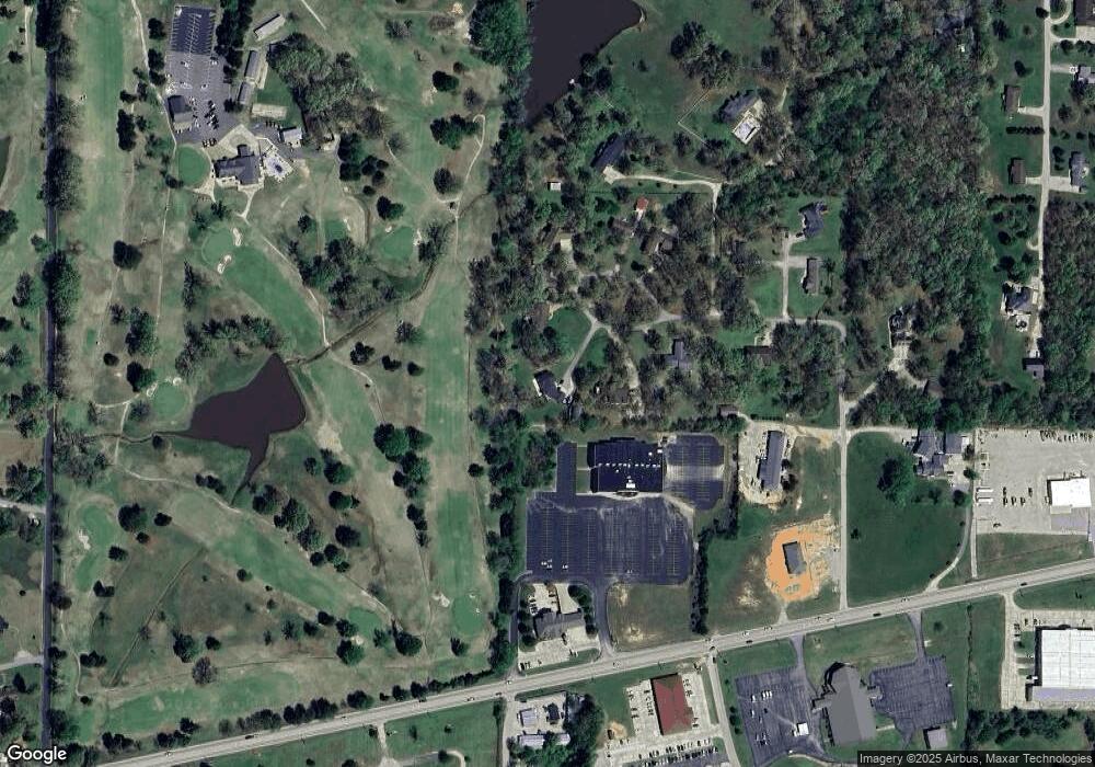
Map
Nearby Homes
- 163 Fairway Dr
- 112 Kaylee Cir
- 0 County Road 301
- 5041 Linwood Dr
- 1487 County Road 467
- Lot 1 W Highland Cir
- Lot 3 W Highland Cir
- Lot 2 W Highland Cir
- 325 County Road 467
- 0 Lot 59 Legacy Estates
- 0 Lot 23 Legacy Estates
- 0 Estates
- 2925 Wayne Ave
- 0 Lot 15 Legacy Estates
- 0 Lot 22 Legacy Estates Unit MAR25007101
- 265 Berkshire Dr
- 269 Berkshire Dr
- 0 Lot 62 Legacy Estates
- 2801 Bedoll Ave
- 792 County Road 466
- 2888 Carrie Ann Cir
- 2882 Carrie Ann Cir
- 2880 Carrie Ann Cir
- 2861 Carrie Ann Cir
- 2876 Carrie Ann Cir
- 0 Carrie Ann Cir
- 0 Carrie Ann Cir
- 2872 Carrie Ann Cir
- 2868 Carrie Ann Cir
- 2832 Carrie Ann Cir
- 2849 Carrie Ann Cir
- 2848 Carrie Ann Cir
- 2844 Carrie Ann Cir
- 2834 Carrie Ann Cir
- 3482 S Westwwod
- 2830 Carrie Ann Cir
- 3540 S Westwood Blvd
- 0 Tract 4 Carrie Anne Cir
- 3556 S Westwood Blvd
- 3439 S Westwood Blvd