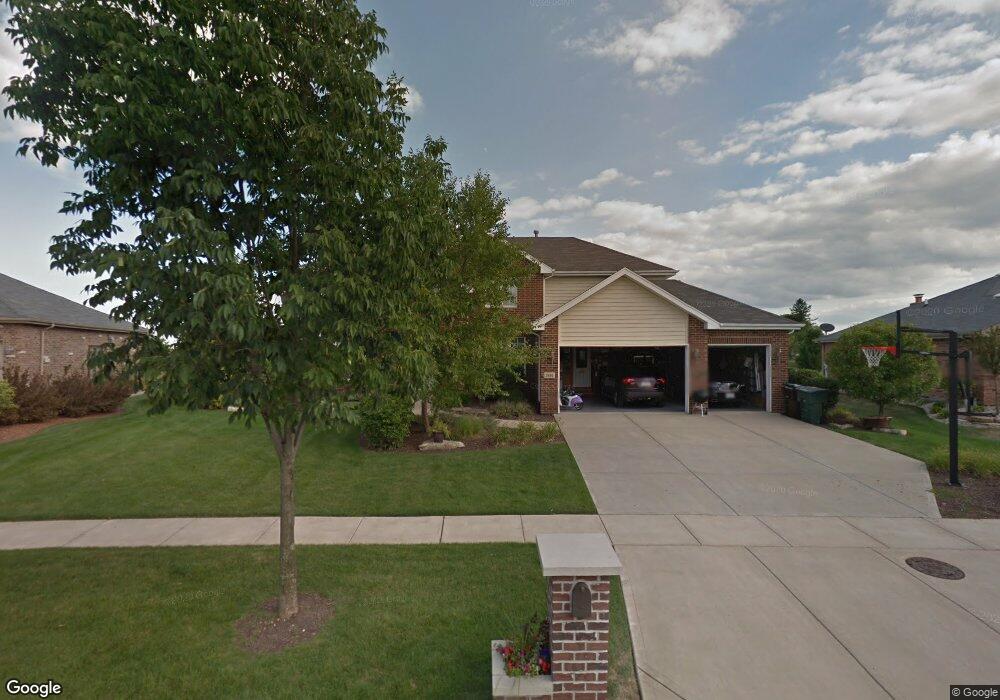
2886 Ryan Dr New Lenox, IL 60451
Estimated Value: $533,000 - $654,000
Studio
--
Bath
--
Sq Ft
14,810
Sq Ft Lot
About This Home
This home is located at 2886 Ryan Dr, New Lenox, IL 60451 and is currently estimated at $572,602. 2886 Ryan Dr is a home located in Will County with nearby schools including Nelson Prairie School, Lincoln Way West, and St. Jude School.
Ownership History
Date
Name
Owned For
Owner Type
Purchase Details
Closed on
May 11, 2006
Sold by
Harris Na
Bought by
Deval Bart F and Deval Erin M
Current Estimated Value
Home Financials for this Owner
Home Financials are based on the most recent Mortgage that was taken out on this home.
Original Mortgage
$340,000
Outstanding Balance
$198,710
Interest Rate
6.56%
Mortgage Type
Fannie Mae Freddie Mac
Estimated Equity
$373,892
Create a Home Valuation Report for This Property
The Home Valuation Report is an in-depth analysis detailing your home's value as well as a comparison with similar homes in the area
Home Values in the Area
Average Home Value in this Area
Purchase History
| Date | Buyer | Sale Price | Title Company |
|---|---|---|---|
| Deval Bart F | $450,000 | Chicago Title Insurance Co |
Source: Public Records
Mortgage History
| Date | Status | Borrower | Loan Amount |
|---|---|---|---|
| Open | Deval Bart F | $340,000 |
Source: Public Records
Tax History
| Year | Tax Paid | Tax Assessment Tax Assessment Total Assessment is a certain percentage of the fair market value that is determined by local assessors to be the total taxable value of land and additions on the property. | Land | Improvement |
|---|---|---|---|---|
| 2024 | $13,714 | $176,994 | $42,640 | $134,354 |
| 2023 | $13,714 | $161,344 | $38,870 | $122,474 |
| 2022 | $12,342 | $148,635 | $35,808 | $112,827 |
| 2021 | $11,725 | $139,786 | $33,676 | $106,110 |
| 2020 | $11,397 | $134,798 | $32,474 | $102,324 |
| 2019 | $10,913 | $130,618 | $31,467 | $99,151 |
| 2018 | $10,666 | $126,117 | $30,383 | $95,734 |
| 2017 | $10,139 | $122,492 | $29,510 | $92,982 |
| 2016 | $9,846 | $119,213 | $28,720 | $90,493 |
| 2015 | $9,539 | $115,461 | $27,816 | $87,645 |
| 2014 | $9,539 | $114,036 | $27,473 | $86,563 |
| 2013 | $9,539 | $115,573 | $27,843 | $87,730 |
Source: Public Records
Map
Nearby Homes
- 2882 Mckenna Dr
- 2341 Stone Creek Dr
- 2301 Stone Creek Dr
- 2231 Stone Creek Dr
- 14620 W Laraway Rd
- LOT 8 W Laraway Rd
- 819 Shagbark Rd
- 2635 Molly Ct
- 0 W Baker Rd Unit 23833428
- 1973 Edgeview Dr
- 1111 W Baker Rd
- 1978 Stapleton Rd
- 2665 Daniel Lewis Dr
- 2414 Daniel Lewis Dr
- 23929 S William Dr
- 1825 Brogan Dr
- 1000 S Cedar Rd
- 2101 Jackson Branch Dr
- 1327 Grandview Dr
- 1621 Andrea Dr
Your Personal Tour Guide
Ask me questions while you tour the home.