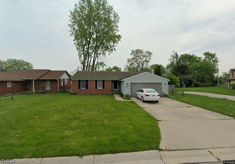
2886 W Rick Dr Port Huron, MI 48060
Estimated Value: $169,000 - $189,998
3
Beds
1
Bath
1,344
Sq Ft
$133/Sq Ft
Est. Value
About This Home
This home is located at 2886 W Rick Dr, Port Huron, MI 48060 and is currently estimated at $179,000, approximately $133 per square foot. 2886 W Rick Dr is a home located in St. Clair County with nearby schools including Michigamme Elementary School, Central Middle School, and Port Huron High School.
Ownership History
Date
Name
Owned For
Owner Type
Purchase Details
Closed on
Jun 21, 2021
Sold by
Althea D Richards Living Trust
Bought by
Suarez Noel
Current Estimated Value
Purchase Details
Closed on
May 18, 2017
Sold by
L & L Land Co
Bought by
Richards Althea D and Richards Anthony F
Purchase Details
Closed on
Dec 30, 1999
Sold by
Lauth Constance M and Lauth Harold C
Bought by
L & L Land Company Limited Partnership
Create a Home Valuation Report for This Property
The Home Valuation Report is an in-depth analysis detailing your home's value as well as a comparison with similar homes in the area
Home Values in the Area
Average Home Value in this Area
Purchase History
| Date | Buyer | Sale Price | Title Company |
|---|---|---|---|
| Suarez Noel | -- | None Listed On Document | |
| Richards Althea D | -- | None Available | |
| L & L Land Company Limited Partnership | -- | None Available |
Source: Public Records
Tax History Compared to Growth
Tax History
| Year | Tax Paid | Tax Assessment Tax Assessment Total Assessment is a certain percentage of the fair market value that is determined by local assessors to be the total taxable value of land and additions on the property. | Land | Improvement |
|---|---|---|---|---|
| 2025 | $5,010 | $91,300 | $0 | $0 |
| 2024 | $4,557 | $89,400 | $0 | $0 |
| 2023 | $4,323 | $79,600 | $0 | $0 |
| 2022 | $4,378 | $69,300 | $0 | $0 |
| 2021 | $3,195 | $63,800 | $0 | $0 |
| 2020 | $3,208 | $60,300 | $60,300 | $0 |
| 2019 | $3,150 | $44,800 | $0 | $0 |
| 2018 | $3,079 | $44,800 | $0 | $0 |
| 2017 | $2,302 | $40,600 | $0 | $0 |
| 2016 | $2,057 | $40,600 | $0 | $0 |
| 2015 | $2,019 | $40,500 | $40,500 | $0 |
| 2014 | $2,019 | $38,500 | $38,500 | $0 |
| 2013 | -- | $36,900 | $0 | $0 |
Source: Public Records
Map
Nearby Homes
- 1403 Catherine McAuley Dr
- 2752 Military St
- 2718 Electric Ave
- 2704 Military St
- 3136 Military St
- 9999 Cleveland Ave
- 2444 Military St
- 2627 24th St
- 2506 Vanness St
- Lot 3 24th St
- 2513 Vanness St
- 2411 26th St
- 2600 Vanness St
- 1127 Minnie St
- 2203 VL Railroad St
- 2200 VL Railroad St
- 1831 11th St
- 1309 Division St
- 1325 Division St
- 2023 23rd St
- 2882 W Rick Dr
- 2885 W Rick Dr
- 2876 W Rick Dr
- 1505 W Rick Ct
- 2894 W Rick Dr
- 2870 W Rick Dr
- 2875 W Rick Dr
- 1510 W Rick Ct
- 2889 Mason Ave
- 2889 Mason Ave
- 2881 Mason Ave
- 2877 Mason Ave
- 2865 W Rick Dr
- 2891 Mason Ave
- 2893 Mason Ave Unit Bldg-Unit
- 2893 Mason Ave
- 2867 Mason Ave
- 2864 W Rick Dr
- 1515 W Rick Ct
- 2861 W Rick Dr