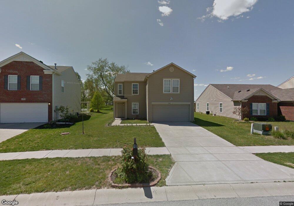
2886 Weald St Whiteland, IN 46184
Estimated Value: $283,000 - $305,000
3
Beds
3
Baths
2,634
Sq Ft
$111/Sq Ft
Est. Value
About This Home
This home is located at 2886 Weald St, Whiteland, IN 46184 and is currently estimated at $293,287, approximately $111 per square foot. 2886 Weald St is a home located in Johnson County with nearby schools including Pleasant Crossing Elementary School, Clark-Pleasant Middle School, and Whiteland Community High School.
Ownership History
Date
Name
Owned For
Owner Type
Purchase Details
Closed on
Jul 9, 2009
Sold by
Secretary Of Hud
Bought by
Hill Heather Jane
Current Estimated Value
Home Financials for this Owner
Home Financials are based on the most recent Mortgage that was taken out on this home.
Original Mortgage
$98,396
Outstanding Balance
$64,610
Interest Rate
5.43%
Estimated Equity
$228,677
Purchase Details
Closed on
Oct 16, 2008
Sold by
Everhome Mortgage Co
Bought by
Secretary Of Hud
Purchase Details
Closed on
Oct 10, 2005
Sold by
C P Morgan Communities L P
Bought by
Modlin Amber N and Lawson Ruby A
Create a Home Valuation Report for This Property
The Home Valuation Report is an in-depth analysis detailing your home's value as well as a comparison with similar homes in the area
Home Values in the Area
Average Home Value in this Area
Purchase History
| Date | Buyer | Sale Price | Title Company |
|---|---|---|---|
| Hill Heather Jane | -- | Eagle Land Title Llc | |
| Secretary Of Hud | -- | None Available | |
| Everhome Mortgage Company | $153,025 | None Available | |
| Modlin Amber N | -- | None Available |
Source: Public Records
Mortgage History
| Date | Status | Borrower | Loan Amount |
|---|---|---|---|
| Open | Hill Heather Jane | $98,396 |
Source: Public Records
Tax History Compared to Growth
Tax History
| Year | Tax Paid | Tax Assessment Tax Assessment Total Assessment is a certain percentage of the fair market value that is determined by local assessors to be the total taxable value of land and additions on the property. | Land | Improvement |
|---|---|---|---|---|
| 2025 | $2,673 | $258,700 | $56,000 | $202,700 |
| 2024 | $2,673 | $255,800 | $56,000 | $199,800 |
| 2023 | $2,584 | $248,100 | $56,000 | $192,100 |
| 2022 | $2,210 | $212,800 | $29,900 | $182,900 |
| 2021 | $1,889 | $181,500 | $29,900 | $151,600 |
| 2020 | $1,664 | $159,300 | $29,900 | $129,400 |
| 2019 | $1,564 | $149,900 | $29,900 | $120,000 |
| 2018 | $1,451 | $144,900 | $17,400 | $127,500 |
| 2017 | $1,402 | $139,200 | $17,400 | $121,800 |
| 2016 | $1,369 | $136,900 | $17,400 | $119,500 |
| 2014 | $1,287 | $128,700 | $21,300 | $107,400 |
| 2013 | $1,287 | $129,800 | $21,300 | $108,500 |
Source: Public Records
Map
Nearby Homes
- 768 Tall Timber Dr
- 2545 Wildflower Ln
- 3292 Underwood Dr
- 623 Scotch Pine Dr
- 2489 Wildflower Ln
- 2916 Lodgepole Dr
- 577 Stobus Dr
- 725 Pine Lake Dr
- 698 Pine Lake Dr
- 2418 Ashton Ln
- 700 Mountain Pine Dr
- 2277 Maple Stone Ln
- 660 Mountain Pine Dr
- 841 Cherry Tree Ln
- 2357 Grand Fir Dr
- 2333 Grand Fir Dr
- 2284 Blossom Dr
- 1079 Long Stand Dr
- 0 W Worthsville Rd
- 2288 Shadow Trace Way