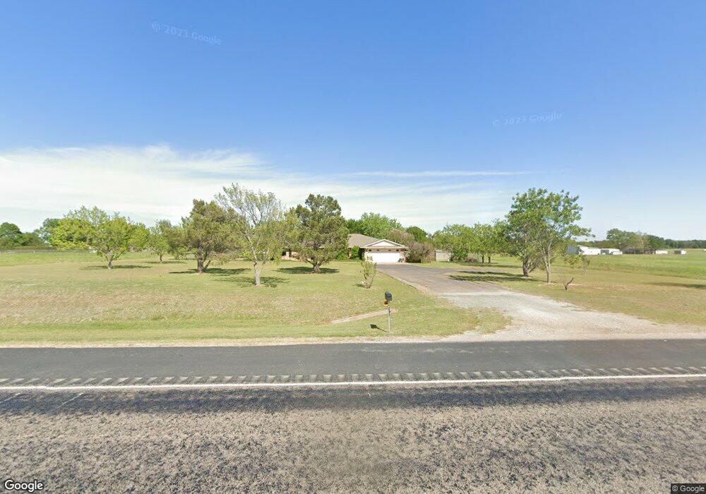
2888 State Highway 289 Sherman, TX 75092
Estimated Value: $340,000 - $639,000
--
Bed
--
Bath
2,814
Sq Ft
$166/Sq Ft
Est. Value
About This Home
This home is located at 2888 State Highway 289, Sherman, TX 75092 and is currently estimated at $467,732, approximately $166 per square foot. 2888 State Highway 289 is a home located in Grayson County with nearby schools including Summit Hill Elementary School, Howe Middle School, and Howe High School.
Ownership History
Date
Name
Owned For
Owner Type
Purchase Details
Closed on
Aug 30, 2006
Sold by
Countrywide Home Loans Inc
Bought by
Brock Larry D and Brock Beverly
Current Estimated Value
Home Financials for this Owner
Home Financials are based on the most recent Mortgage that was taken out on this home.
Original Mortgage
$24,950
Interest Rate
6.64%
Mortgage Type
Stand Alone Second
Create a Home Valuation Report for This Property
The Home Valuation Report is an in-depth analysis detailing your home's value as well as a comparison with similar homes in the area
Home Values in the Area
Average Home Value in this Area
Purchase History
| Date | Buyer | Sale Price | Title Company |
|---|---|---|---|
| Brock Larry D | -- | Chapin Title Co Inc |
Source: Public Records
Mortgage History
| Date | Status | Borrower | Loan Amount |
|---|---|---|---|
| Closed | Brock Larry D | $24,950 | |
| Open | Brock Larry D | $99,800 |
Source: Public Records
Tax History Compared to Growth
Tax History
| Year | Tax Paid | Tax Assessment Tax Assessment Total Assessment is a certain percentage of the fair market value that is determined by local assessors to be the total taxable value of land and additions on the property. | Land | Improvement |
|---|---|---|---|---|
| 2025 | $949 | $364,871 | -- | -- |
| 2024 | $4,975 | $331,701 | $0 | $0 |
| 2023 | $953 | $301,546 | $0 | $0 |
| 2022 | $4,731 | $274,133 | $0 | $0 |
| 2021 | $4,841 | $249,212 | $24,135 | $225,077 |
| 2020 | $4,945 | $243,461 | $24,135 | $219,326 |
| 2019 | $5,013 | $258,247 | $24,135 | $234,112 |
| 2018 | $4,280 | $249,190 | $24,135 | $225,055 |
| 2017 | $3,937 | $213,200 | $24,135 | $189,065 |
| 2016 | $3,579 | $211,597 | $24,135 | $187,462 |
| 2015 | $0 | $157,458 | $24,135 | $133,323 |
| 2014 | -- | $151,109 | $24,135 | $126,974 |
Source: Public Records
Map
Nearby Homes
- 00 Primrose Ln
- 1171 Rockport Rd
- 10.96 Acres Wible Rd
- 750 Wible Rd
- TBD Wible Rd
- 6514 Joyce Ln
- 3356 Old Dorchester Rd
- 703 Stewart Rd
- TBD Taylor Rd
- 100 Acres Texas 289
- 3410 Old Dorchester Rd
- 586 Pleasant Home Rd
- 1520 Elliot Rd
- 1536 Elliot Rd
- 1512 Elliot Rd
- 1313 Richardson St
- 1612 Elliot Rd
- 1532 Elliot Rd
- 1540 Elliot Rd
- 1516 Elliot Rd
- 2800 State Highway 289
- 253 Bluebonnet Ln
- 2770 State Highway 289
- 161 Bluebonnet Ln
- 2744 Tx-289
- 246 Bluebonnet Ln
- 137 Bluebonnet Ln
- 214 Bluebonnet Ln
- 2744 State Highway 289
- 172 Bluebonnet Ln
- 101 Bluebonnet Ln
- .225 Bluebonnet Ln
- 361 Bluebonnet Ln
- 292 Bluebonnet Ln
- 130 Bluebonnet Ln
- 000 Primrose Ln
- 368 Bluebonnet Ln
- 3110 State Highway 289
- 59 Bluebonnet Ln
- 2668 State Highway 289