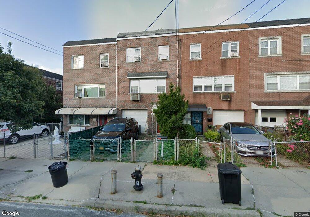
289 Calhoun Ave Bronx, NY 10465
Throgs Neck-Edgewater Park NeighborhoodEstimated Value: $590,882 - $758,000
--
Bed
--
Bath
1,744
Sq Ft
$396/Sq Ft
Est. Value
About This Home
This home is located at 289 Calhoun Ave, Bronx, NY 10465 and is currently estimated at $690,721, approximately $396 per square foot. 289 Calhoun Ave is a home located in Bronx County with nearby schools including P.S. 72 - Dr. William Dorney, Herbert H Lehman High School, and St. Frances de Chantal School.
Ownership History
Date
Name
Owned For
Owner Type
Purchase Details
Closed on
May 1, 2020
Sold by
Colato Rogelio and Colato Rosa
Bought by
Colato Rosa
Current Estimated Value
Home Financials for this Owner
Home Financials are based on the most recent Mortgage that was taken out on this home.
Original Mortgage
$167,000
Interest Rate
3.2%
Mortgage Type
Unknown
Purchase Details
Closed on
Jul 9, 1999
Sold by
Donnelly Sara and Donnelly Barton J
Bought by
Colato Rogelio and Colato Rosa
Home Financials for this Owner
Home Financials are based on the most recent Mortgage that was taken out on this home.
Original Mortgage
$165,500
Interest Rate
7.61%
Create a Home Valuation Report for This Property
The Home Valuation Report is an in-depth analysis detailing your home's value as well as a comparison with similar homes in the area
Home Values in the Area
Average Home Value in this Area
Purchase History
| Date | Buyer | Sale Price | Title Company |
|---|---|---|---|
| Colato Rosa | -- | -- | |
| Colato Rogelio | $185,000 | Record & Return Title Agency |
Source: Public Records
Mortgage History
| Date | Status | Borrower | Loan Amount |
|---|---|---|---|
| Previous Owner | Colato Rosa | $167,000 | |
| Previous Owner | Colato Rogelio | $165,500 |
Source: Public Records
Tax History Compared to Growth
Tax History
| Year | Tax Paid | Tax Assessment Tax Assessment Total Assessment is a certain percentage of the fair market value that is determined by local assessors to be the total taxable value of land and additions on the property. | Land | Improvement |
|---|---|---|---|---|
| 2025 | $6,104 | $33,437 | $7,712 | $25,725 |
| 2024 | $6,104 | $31,792 | $7,579 | $24,213 |
| 2023 | $5,807 | $29,993 | $6,751 | $23,242 |
| 2022 | $5,362 | $33,360 | $8,940 | $24,420 |
| 2021 | $5,652 | $32,280 | $8,940 | $23,340 |
| 2020 | $5,602 | $28,800 | $8,940 | $19,860 |
| 2019 | $5,249 | $29,580 | $8,940 | $20,640 |
| 2018 | $4,797 | $24,994 | $8,681 | $16,313 |
| 2017 | $4,507 | $23,580 | $8,940 | $14,640 |
| 2016 | $4,512 | $24,120 | $8,940 | $15,180 |
| 2015 | $2,536 | $23,220 | $9,900 | $13,320 |
| 2014 | $2,536 | $22,674 | $9,642 | $13,032 |
Source: Public Records
Map
Nearby Homes
- 283 Calhoun Ave
- 2857 Lawton Ave
- 266 Swinton Ave
- 235 Quincy Ave
- 244 Revere Ave
- 329 Revere Ave
- 238 Swinton Ave
- 4175 E Tremont Ave
- 4016 E Tremont Ave
- 352 Swinton Ave
- 2832 Harding Ave
- 2834 Harding Ave
- 310 Huntington Ave
- 4246 E Tremont Ave Unit MF
- 2819 Collis Place
- 410 Revere Ave
- 189 Swinton Ave
- 416 Revere Ave
- 426 Calhoun Ave
- 425 Quincy Ave
- 291 Calhoun Ave
- 287 Calhoun Ave
- 293 Calhoun Ave
- 295 Calhoun Ave
- 2834 Miles Ave
- 2828 Miles Ave
- 286 Quincy Ave
- 279 Calhoun Ave
- 298 Quincy Ave
- 2850 Miles Ave
- 2850 Miles Ave Unit 1
- 280 Quincy Ave
- 2852 Miles Ave
- 290 Calhoun Ave
- 288 Calhoun Ave
- 286 Calhoun Ave
- 278 Quincy Ave
- 280 Calhoun Ave
- 280 Calhoun Ave
- 280 Calhoun Ave Unit B