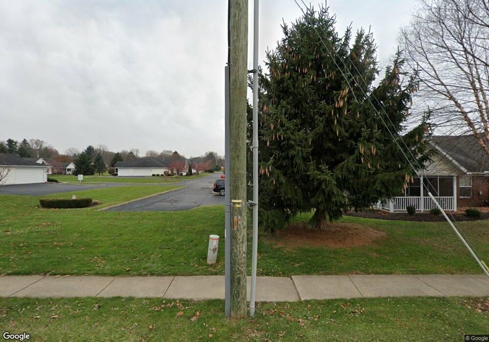
289 Chapman Way Unit 289 Mansfield, OH 44904
Estimated Value: $177,643 - $201,000
2
Beds
2
Baths
1,132
Sq Ft
$166/Sq Ft
Est. Value
About This Home
This home is located at 289 Chapman Way Unit 289, Mansfield, OH 44904 and is currently estimated at $187,911, approximately $165 per square foot. 289 Chapman Way Unit 289 is a home located in Richland County with nearby schools including Lexington High School, Grace Christian School, and Mansfield Seventh-day Adventist School.
Ownership History
Date
Name
Owned For
Owner Type
Purchase Details
Closed on
May 28, 2004
Sold by
Lexington Development Partners Llc
Bought by
Davis Patricia A
Current Estimated Value
Home Financials for this Owner
Home Financials are based on the most recent Mortgage that was taken out on this home.
Original Mortgage
$69,950
Interest Rate
5.99%
Mortgage Type
Purchase Money Mortgage
Create a Home Valuation Report for This Property
The Home Valuation Report is an in-depth analysis detailing your home's value as well as a comparison with similar homes in the area
Home Values in the Area
Average Home Value in this Area
Purchase History
| Date | Buyer | Sale Price | Title Company |
|---|---|---|---|
| Davis Patricia A | $102,850 | Lawyers Title |
Source: Public Records
Mortgage History
| Date | Status | Borrower | Loan Amount |
|---|---|---|---|
| Previous Owner | Davis Patricia A | $69,950 |
Source: Public Records
Tax History Compared to Growth
Tax History
| Year | Tax Paid | Tax Assessment Tax Assessment Total Assessment is a certain percentage of the fair market value that is determined by local assessors to be the total taxable value of land and additions on the property. | Land | Improvement |
|---|---|---|---|---|
| 2024 | $1,941 | $45,260 | $3,580 | $41,680 |
| 2023 | $1,941 | $45,260 | $3,580 | $41,680 |
| 2022 | $1,672 | $34,880 | $3,100 | $31,780 |
| 2021 | $1,677 | $34,880 | $3,100 | $31,780 |
| 2020 | $1,678 | $34,880 | $3,100 | $31,780 |
| 2019 | $1,462 | $29,560 | $2,630 | $26,930 |
| 2018 | $1,270 | $29,560 | $2,630 | $26,930 |
| 2017 | $1,257 | $29,560 | $2,630 | $26,930 |
| 2016 | $1,304 | $29,870 | $2,500 | $27,370 |
| 2015 | $1,304 | $29,870 | $2,500 | $27,370 |
| 2014 | $1,260 | $29,870 | $2,500 | $27,370 |
| 2012 | $642 | $31,440 | $2,630 | $28,810 |
Source: Public Records
Map
Nearby Homes
- 291 Chapman Way Unit 291
- 284 Chapman Way Unit 284
- 283 Chapman Way Unit 283
- 281 Chapman Way
- 317 Chapman Way Unit 317
- 265 Chapman Way
- 286 Chapman Way Unit 286
- 319 Chapman Way Unit 319
- 295 Chapman Way
- 241 Chapman Ct Unit 241
- 263 Chapman Way Unit 263
- 290 Chapman Way Unit 290
- 297 Chapman Way Unit 297
- 261 Chapman Way Unit 261
- 243 Chapman Ct Unit 243
- 292 Chapman Way Unit 292
- 259 Chapman Way Unit 259
- 321 Chapman Way Unit 321
- 310 Chapman Way Unit 310
- 270 Chapman Way
