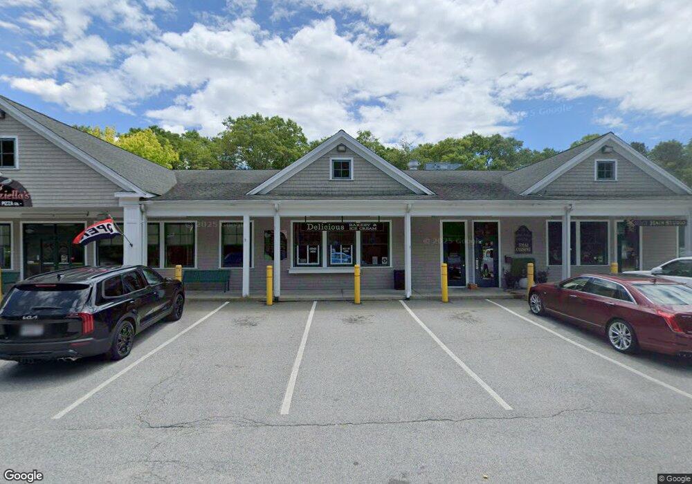
289 Cotuit Rd Sandwich, MA 2563
Estimated Value: $2,173,431
Studio
--
Bath
8,064
Sq Ft
$270/Sq Ft
Est. Value
About This Home
This home is located at 289 Cotuit Rd, Sandwich, MA 2563 and is currently estimated at $2,173,431, approximately $269 per square foot. 289 Cotuit Rd is a home located in Barnstable County with nearby schools including Sandwich Middle High School, Sandwich Montessori School, and Riverview School.
Ownership History
Date
Name
Owned For
Owner Type
Purchase Details
Closed on
Dec 28, 2017
Sold by
289 Cotuit Rd Llc
Bought by
Kac Llc
Current Estimated Value
Purchase Details
Closed on
Jun 15, 2009
Sold by
P By E Rt
Bought by
Sandwic 289 Cotuit Rd
Home Financials for this Owner
Home Financials are based on the most recent Mortgage that was taken out on this home.
Original Mortgage
$920,000
Interest Rate
4.82%
Mortgage Type
Commercial
Create a Home Valuation Report for This Property
The Home Valuation Report is an in-depth analysis detailing your home's value as well as a comparison with similar homes in the area
Purchase History
| Date | Buyer | Sale Price | Title Company |
|---|---|---|---|
| Kac Llc | $1,150,000 | -- | |
| Sandwic 289 Cotuit Rd | $1,200,000 | -- |
Source: Public Records
Mortgage History
| Date | Status | Borrower | Loan Amount |
|---|---|---|---|
| Previous Owner | Sandwic 289 Cotuit Rd | $920,000 |
Source: Public Records
Tax History
| Year | Tax Paid | Tax Assessment Tax Assessment Total Assessment is a certain percentage of the fair market value that is determined by local assessors to be the total taxable value of land and additions on the property. | Land | Improvement |
|---|---|---|---|---|
| 2025 | $14,947 | $1,414,100 | $570,800 | $843,300 |
| 2024 | $14,748 | $1,365,600 | $542,500 | $823,100 |
| 2023 | $15,198 | $1,321,600 | $521,700 | $799,900 |
| 2022 | $16,717 | $1,270,300 | $501,500 | $768,800 |
| 2021 | $16,905 | $1,227,700 | $482,200 | $745,500 |
| 2020 | $16,348 | $1,142,400 | $414,900 | $727,500 |
| 2019 | $15,543 | $1,085,400 | $401,700 | $683,700 |
| 2018 | $16,614 | $1,030,900 | $371,900 | $659,000 |
| 2017 | $15,521 | $1,039,600 | $359,800 | $679,800 |
| 2016 | $15,040 | $1,039,400 | $341,500 | $697,900 |
| 2015 | $15,479 | $1,044,500 | $314,800 | $729,700 |
Source: Public Records
Map
Nearby Homes
- 33 Easterly Dr
- 86 Greenville Dr
- 17 Kensington Dr
- 46 Kensington Dr
- 185 Cotuit Rd Unit JP1
- 185 Cotuit Rd Unit C5 Aspen
- 57 Grand Oak Rd
- 93 Deerfield Rd
- 99 Route 130
- 18 Katian Way
- 5 Bluestone Terrace
- 6 Granite Cir
- 58 Southpoint Dr Unit J
- 113 Farmersville Rd
- 24 East Rd
- 3 West Rd
- 9 Viking Ln
- 32 Pimlico Pond Rd
- 39 Massachusetts 130
- 5 Lighthouse Ln
Your Personal Tour Guide
Ask me questions while you tour the home.