289 Currahee Cir Toccoa, GA 30577
Estimated Value: $249,000 - $375,000
3
Beds
2
Baths
2,371
Sq Ft
$135/Sq Ft
Est. Value
About This Home
This home is located at 289 Currahee Cir, Toccoa, GA 30577 and is currently estimated at $321,144, approximately $135 per square foot. 289 Currahee Cir is a home located in Stephens County with nearby schools including Stephens County High School.
Ownership History
Date
Name
Owned For
Owner Type
Purchase Details
Closed on
Aug 14, 2014
Sold by
Cobb Lesia Renea
Bought by
Seal Sherry J
Current Estimated Value
Purchase Details
Closed on
May 1, 2007
Sold by
Cobb Lesia Renea
Bought by
Cobb Lesia Renea
Purchase Details
Closed on
Mar 23, 2007
Sold by
Not Provided
Bought by
Cobb Lisia R and Seal Sherry J
Purchase Details
Closed on
Aug 18, 2000
Bought by
<Buyer Info Not Present>
Purchase Details
Closed on
May 1, 1999
Bought by
<Buyer Info Not Present>
Purchase Details
Closed on
Mar 1, 1992
Bought by
<Buyer Info Not Present>
Purchase Details
Closed on
Feb 1, 1990
Bought by
<Buyer Info Not Present>
Create a Home Valuation Report for This Property
The Home Valuation Report is an in-depth analysis detailing your home's value as well as a comparison with similar homes in the area
Home Values in the Area
Average Home Value in this Area
Purchase History
| Date | Buyer | Sale Price | Title Company |
|---|---|---|---|
| Seal Sherry J | -- | -- | |
| Cobb Lesia Renea | -- | -- | |
| Cobb Lisia R | -- | -- | |
| Cobb Lesia Renea | -- | -- | |
| <Buyer Info Not Present> | $102,500 | -- | |
| <Buyer Info Not Present> | $97,000 | -- | |
| <Buyer Info Not Present> | $77,000 | -- | |
| <Buyer Info Not Present> | $81,000 | -- |
Source: Public Records
Tax History Compared to Growth
Tax History
| Year | Tax Paid | Tax Assessment Tax Assessment Total Assessment is a certain percentage of the fair market value that is determined by local assessors to be the total taxable value of land and additions on the property. | Land | Improvement |
|---|---|---|---|---|
| 2024 | $2,411 | $81,178 | $13,996 | $67,182 |
| 2023 | $2,215 | $76,402 | $13,996 | $62,406 |
| 2022 | $2,012 | $69,589 | $13,996 | $55,593 |
| 2021 | $1,982 | $65,374 | $13,996 | $51,378 |
| 2020 | $1,984 | $64,822 | $13,996 | $50,826 |
| 2019 | $1,992 | $64,822 | $13,996 | $50,826 |
| 2018 | $1,992 | $64,822 | $13,996 | $50,826 |
| 2017 | $2,024 | $64,822 | $13,996 | $50,826 |
| 2016 | $1,950 | $63,507 | $12,681 | $50,826 |
| 2015 | $1,801 | $56,224 | $12,681 | $43,543 |
| 2014 | $1,831 | $56,225 | $12,681 | $43,544 |
| 2013 | -- | $56,820 | $12,940 | $43,880 |
Source: Public Records
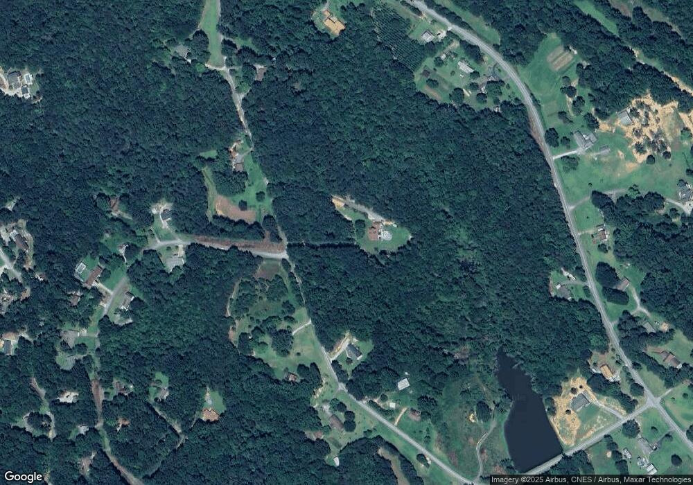
Map
Nearby Homes
- 9369 Sherwood Ct
- 266 Cawthon Rd
- 4 Piedmont
- 16 Terri Ln
- 1662 Carnes Creek Rd
- 0 Highway 184 Unit 7606848
- 0 Highway 184 Unit 10547296
- 1387 Mize Rd
- 97 Hillside Dr
- 571 N Currahee Ln
- 151 Richardson St
- 184 Scott Cir
- 1037 S Pond St
- 1009 S Pond St
- 943 S Pond St
- 48 Owen St
- 98 Wood St
- 574 S Sage St
- 11 Cloverhurst Dr
- 192 S Pine St
- 9341 Currahee Cir
- 9343 Currahee Cir
- 0 Currahee Cir Unit 7182093
- 0 Currahee Cir Unit 3163710
- 0 Currahee Cir
- 437 Currahee Cir
- 398 Currahee Cir
- 238 Currahee Cir
- 432 Carnes Creek Rd
- 489 Currahee Cir
- 482 Carnes Creek Rd
- 193 Currahee Cir
- 682 Carnes Creek Rd
- 99 Sherwood St
- 412 Carnes Creek Rd
- 98 Sherwood St
- 320 Carnes Creek Rd
- 6992 Carnes Creek Rd
- 565 Carnes Creek Rd
- 637 Carnes Creek Rd