289 Dailey Ridge Ln Rabun Gap, GA 30568
Estimated Value: $262,000 - $431,000
Studio
--
Bath
1,680
Sq Ft
$207/Sq Ft
Est. Value
About This Home
This home is located at 289 Dailey Ridge Ln, Rabun Gap, GA 30568 and is currently estimated at $348,016, approximately $207 per square foot. 289 Dailey Ridge Ln is a home with nearby schools including Rabun County Primary School and Rabun County High School.
Ownership History
Date
Name
Owned For
Owner Type
Purchase Details
Closed on
Nov 26, 2019
Sold by
Overfield James Edward
Bought by
Overfield James Edward and Overfield Barbara J
Current Estimated Value
Purchase Details
Closed on
Jan 1, 1999
Bought by
Overfield James Edward
Purchase Details
Closed on
Jan 1, 1997
Purchase Details
Closed on
May 1, 1980
Create a Home Valuation Report for This Property
The Home Valuation Report is an in-depth analysis detailing your home's value as well as a comparison with similar homes in the area
Home Values in the Area
Average Home Value in this Area
Purchase History
| Date | Buyer | Sale Price | Title Company |
|---|---|---|---|
| Overfield James Edward | -- | -- | |
| Overfield James Edward | -- | -- | |
| Overfield James Edward | $25,000 | -- | |
| Overfield James Edward | $25,000 | -- | |
| -- | -- | -- | |
| -- | -- | -- | |
| -- | $6,500 | -- | |
| -- | $6,500 | -- |
Source: Public Records
Tax History
| Year | Tax Paid | Tax Assessment Tax Assessment Total Assessment is a certain percentage of the fair market value that is determined by local assessors to be the total taxable value of land and additions on the property. | Land | Improvement |
|---|---|---|---|---|
| 2025 | $1,667 | $103,889 | $18,000 | $85,889 |
| 2024 | $1,580 | $98,445 | $18,000 | $80,445 |
| 2023 | $1,702 | $93,001 | $18,000 | $75,001 |
| 2022 | $1,597 | $87,279 | $15,000 | $72,279 |
| 2021 | $1,482 | $79,042 | $15,000 | $64,042 |
| 2020 | $1,442 | $74,364 | $15,000 | $59,364 |
| 2019 | $1,453 | $74,364 | $15,000 | $59,364 |
| 2018 | $1,458 | $74,364 | $15,000 | $59,364 |
| 2017 | $1,398 | $74,364 | $15,000 | $59,364 |
| 2016 | $1,402 | $74,364 | $15,000 | $59,364 |
| 2015 | $1,373 | $71,271 | $15,000 | $56,271 |
| 2014 | $1,380 | $71,271 | $15,000 | $56,271 |
Source: Public Records
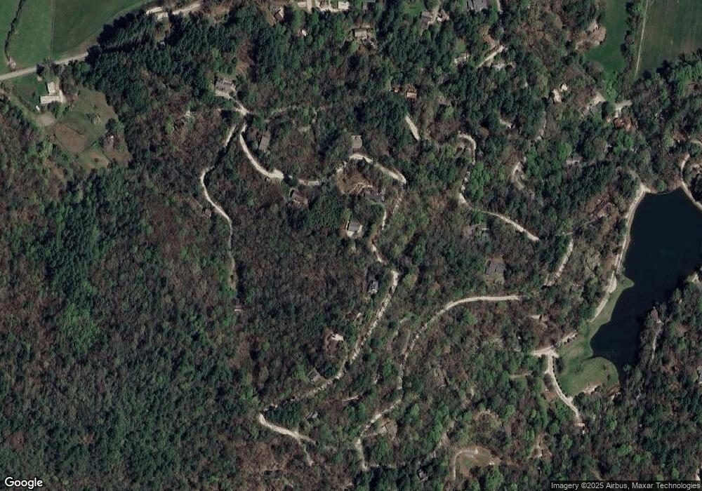
Map
Nearby Homes
- 133 Simms Way
- 149 Simms Way
- 0 Sylvan Lake Dr Unit 47,48 10485897
- 0 Pitts Way Unit 10592369
- 0 Crest Ln Unit LOT 5
- 373 Western Way
- 159 Clare Ln
- 0 Alto Ln Unit 10669756
- 5019 Wolffork Rd
- 5192 Wolffork Rd
- 513 Coleman Heights Ln
- 0 Black Rock Estates Unit 25 10374676
- 190 Legendary Ln
- 0 Blue Ridge Gap Rd Unit 10679893
- 0 Allen Cove Rd Unit 10586573
- 52 Lucky Ln
- 786 Hope Haven Ln
- 243 Degroff Ln
- 0 Forest Canopy Way Unit 11
- 0 Forest Canopy Way Unit LOT 2
- 293 Dailey Ridge Ln
- 319 Dailey Ridge Ln
- 270 Dailey Ridge Ln
- 195 Dailey Ridge Ln
- 487 Dailey Ridge Ln
- 107 Sims Way Unit 4, 4A, 4B
- 107 Sims Way
- 659 Sims Way
- 364 Dailey Ridge Ln
- 167 Dailey Ridge Ln
- 237 Sims Way
- 400 Dailey Ridge Ln
- 165 Sims Way
- 486 Dailey Ridge Ln
- 51 Sims Way
- 353 Sims Way Unit 8
- 353 Sims Way
- 433 Sims Way
- 657 Sims Way
- 596 Moses Rd
Your Personal Tour Guide
Ask me questions while you tour the home.