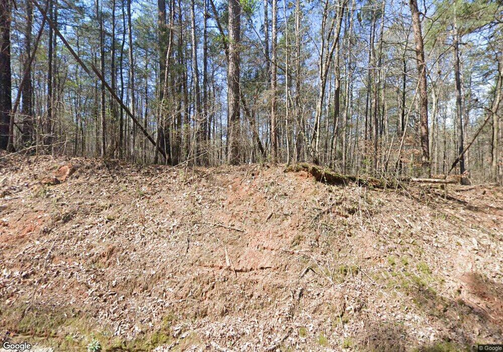
289 Dink McCoy Rd Commerce, GA 30529
Estimated Value: $1,014,000 - $1,266,430
3
Beds
4
Baths
3,515
Sq Ft
$324/Sq Ft
Est. Value
About This Home
This home is located at 289 Dink McCoy Rd, Commerce, GA 30529 and is currently estimated at $1,140,215, approximately $324 per square foot. 289 Dink McCoy Rd is a home located in Banks County with nearby schools including Banks County Primary School, Banks County Elementary School, and Banks County Middle School.
Ownership History
Date
Name
Owned For
Owner Type
Purchase Details
Closed on
Nov 12, 2019
Sold by
Carter William Timothy
Bought by
Carter William Timothy and Carter Phyllis
Current Estimated Value
Purchase Details
Closed on
Jun 25, 2014
Sold by
Carter William Timothy
Bought by
Carter William Timothy and Carter Phyllis P
Home Financials for this Owner
Home Financials are based on the most recent Mortgage that was taken out on this home.
Original Mortgage
$60,000
Interest Rate
4.17%
Mortgage Type
New Conventional
Create a Home Valuation Report for This Property
The Home Valuation Report is an in-depth analysis detailing your home's value as well as a comparison with similar homes in the area
Purchase History
| Date | Buyer | Sale Price | Title Company |
|---|---|---|---|
| Carter William Timothy | -- | -- | |
| Carter William Timothy | -- | -- |
Source: Public Records
Mortgage History
| Date | Status | Borrower | Loan Amount |
|---|---|---|---|
| Previous Owner | Carter William Timothy | $60,000 |
Source: Public Records
Tax History
| Year | Tax Paid | Tax Assessment Tax Assessment Total Assessment is a certain percentage of the fair market value that is determined by local assessors to be the total taxable value of land and additions on the property. | Land | Improvement |
|---|---|---|---|---|
| 2025 | $5,860 | $474,931 | $182,548 | $292,383 |
| 2024 | $5,860 | $451,575 | $170,457 | $281,118 |
| 2023 | $6,045 | $394,633 | $140,945 | $253,688 |
| 2022 | $5,188 | $366,108 | $142,782 | $223,326 |
| 2021 | $5,213 | $330,079 | $118,988 | $211,091 |
| 2020 | $4,875 | $283,252 | $91,528 | $191,724 |
| 2019 | $5,302 | $300,990 | $91,528 | $209,462 |
| 2018 | $3,716 | $230,092 | $91,528 | $138,564 |
| 2017 | $3,707 | $212,142 | $79,588 | $132,554 |
| 2016 | $3,748 | $210,043 | $79,588 | $130,455 |
| 2015 | $3,475 | $209,986 | $77,555 | $132,431 |
| 2014 | $3,475 | $270,951 | $138,520 | $132,431 |
| 2013 | -- | $270,951 | $138,520 | $132,431 |
Source: Public Records
Map
Nearby Homes
- 218 Sol Dr
- 20352 Highway 441 S
- 150 Harden Bridge Rd
- 135 Horseshoe Trail
- 112 White Oak Trail
- 148 Chestnut Trail
- 144 Chestnut Trail
- 0 McDonald Cir Unit 7694829
- 0 N Highway 441 Unit 10570307
- 1570 Historic Homer Hwy
- 0 McCoy Bridge Rd Unit 20148799
- 126 Loggins Trail
- 0 Eisenhower Dr
- 2015 Highway 59
- 259 E Ridgeway Rd
- 119 Gordon Rd
- 390 Beck Farm Rd
- 0 Highway 98 Unit 10609064
- 0 Bennett Rd Unit 23200799
- 333 Sims Bridge Rd
- 241 Cotton Rd
- 389 Dink McCoy Rd
- 368 Dink McCoy Rd
- 185 Cotton Rd
- 268 Dink McCoy Rd
- 539 Webbs Creek Rd
- 507 Webbs Creek Rd
- 175 Cotton Rd
- 442 Webbs Creek Rd
- 579 Webbs Creek Rd
- 203 Cotton Rd
- 886 Webbs Creek Rd
- 120 Cotton Rd
- 327 Highway 164
- 0 Webbs Creek Rd Unit 8006388
- 0 Webbs Creek Rd Unit 8006382
- 000 Webbs Creek Rd
- 0 Webbs Creek Rd Unit CM969816
- 0 Webbs Creek Rd Unit 8985030
- 0 Webbs Creek Rd Unit 8817697
Your Personal Tour Guide
Ask me questions while you tour the home.
