Estimated Value: $279,000 - $342,000
4
Beds
3
Baths
2,400
Sq Ft
$130/Sq Ft
Est. Value
About This Home
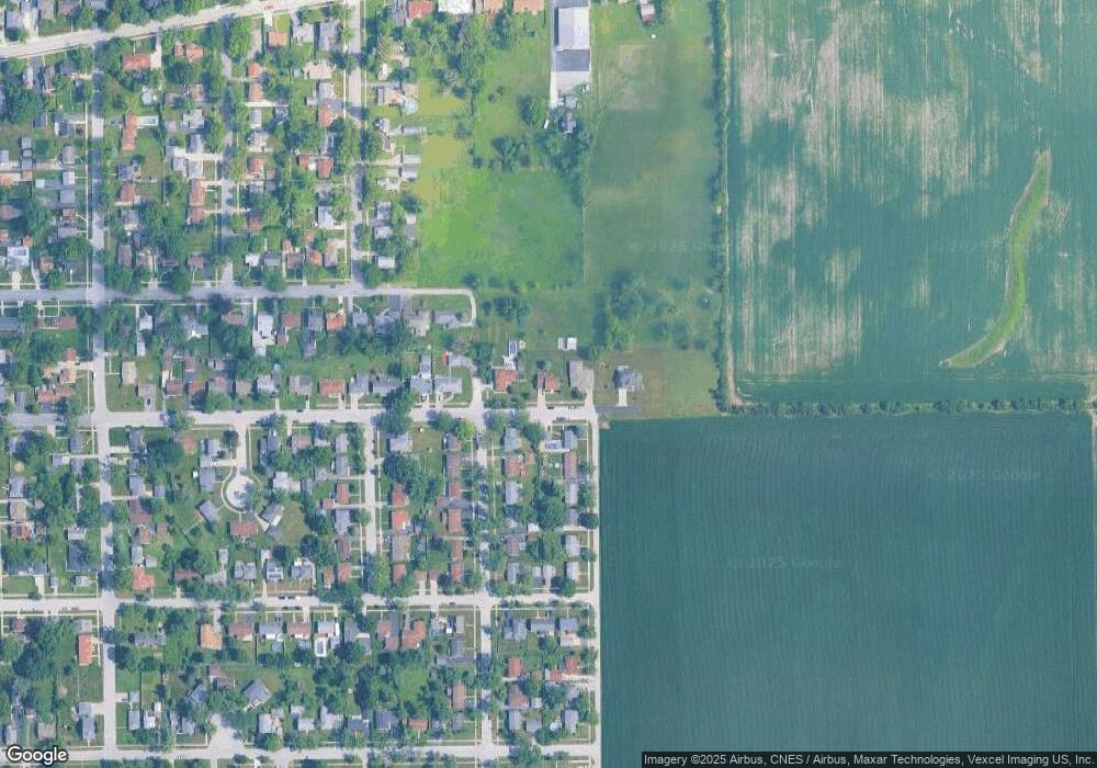
This home is located at 289 Division St, Crete, IL 60417 and is currently estimated at $311,106, approximately $129 per square foot. 289 Division St is a home located in Will County with nearby schools including Crete Elementary School, Crete-Monee Middle School, and Crete-Monee High School.
Ownership History
Date
Name
Owned For
Owner Type
Purchase Details
Closed on
Oct 14, 2009
Sold by
Styx Sandra L
Bought by
Styx Forrest S
Current Estimated Value
Purchase Details
Closed on
Nov 3, 2005
Sold by
Styx Sandra L
Bought by
Styx Forrest S
Home Financials for this Owner
Home Financials are based on the most recent Mortgage that was taken out on this home.
Original Mortgage
$209,600
Outstanding Balance
$115,474
Interest Rate
6.13%
Mortgage Type
Fannie Mae Freddie Mac
Estimated Equity
$195,632
Purchase Details
Closed on
Sep 1, 1995
Sold by
Vanswol Gloria and Vanswol Charles N
Bought by
Styx Forrest S and Styx Sandra L
Home Financials for this Owner
Home Financials are based on the most recent Mortgage that was taken out on this home.
Original Mortgage
$125,000
Interest Rate
7.76%
Create a Home Valuation Report for This Property
The Home Valuation Report is an in-depth analysis detailing your home's value as well as a comparison with similar homes in the area
Home Values in the Area
Average Home Value in this Area
Purchase History
| Date | Buyer | Sale Price | Title Company |
|---|---|---|---|
| Styx Forrest S | -- | Greater Illinois Title Co | |
| Styx Forrest S | -- | First American Title | |
| Styx Forrest S | $180,000 | Premier Title Co | |
| Styx Forrest S | -- | -- |
Source: Public Records
Mortgage History
| Date | Status | Borrower | Loan Amount |
|---|---|---|---|
| Open | Styx Forrest S | $209,600 | |
| Previous Owner | Styx Forrest S | $125,000 |
Source: Public Records
Tax History Compared to Growth
Tax History
| Year | Tax Paid | Tax Assessment Tax Assessment Total Assessment is a certain percentage of the fair market value that is determined by local assessors to be the total taxable value of land and additions on the property. | Land | Improvement |
|---|---|---|---|---|
| 2024 | $7,648 | $93,906 | $18,772 | $75,134 |
| 2023 | $7,648 | $83,852 | $16,762 | $67,090 |
| 2022 | $6,905 | $74,989 | $14,897 | $60,092 |
| 2021 | $7,026 | $68,658 | $13,639 | $55,019 |
| 2020 | $6,752 | $64,347 | $12,783 | $51,564 |
| 2019 | $7,139 | $60,476 | $12,014 | $48,462 |
| 2018 | $7,032 | $59,174 | $11,755 | $47,419 |
| 2017 | $6,646 | $54,513 | $10,829 | $43,684 |
| 2016 | $6,603 | $54,161 | $10,759 | $43,402 |
| 2015 | $6,509 | $52,711 | $10,471 | $42,240 |
| 2014 | $6,509 | $53,244 | $10,577 | $42,667 |
| 2013 | $6,509 | $55,793 | $11,083 | $44,710 |
Source: Public Records
Map
Nearby Homes
- 1378 East St
- 280 W Exchange St
- 1307 Dairy Ln
- 381 W Exchange St
- 20 Joe Orr Ct
- 1361 Elizabeth St
- 432 Herman St
- 249 Milburn Ave
- 354 Oakwood Dr
- 1321 Wood St
- 378 Oakwood Dr
- 514 North St
- 1610 Hewes St
- 1322 Benton St
- 520 Craig Ave
- 1402 apx W Exchange St
- 574 Herman St
- 1512 Vincennes St
- 1404 (apx) W Exchange St
- 1400 (apx) W Exchange St
- 285 Division St
- 285 Division St
- 285 Division St
- 295 Division St
- 1420 Vista Ln
- 1419 Douglas Ln
- 1426 Vista Ln
- 1425 Douglas Ln
- 301 Division St
- 1432 Vista Ln
- 1420 Douglas Ln
- 1431 Douglas Ln
- 302 Cass St
- 1426 Douglas Ln
- 307 Division St
- 1438 Vista Ln
- 1437 Douglas Ln
- 308 Cass St
- 1432 Douglas Ln
- 1419 East St
