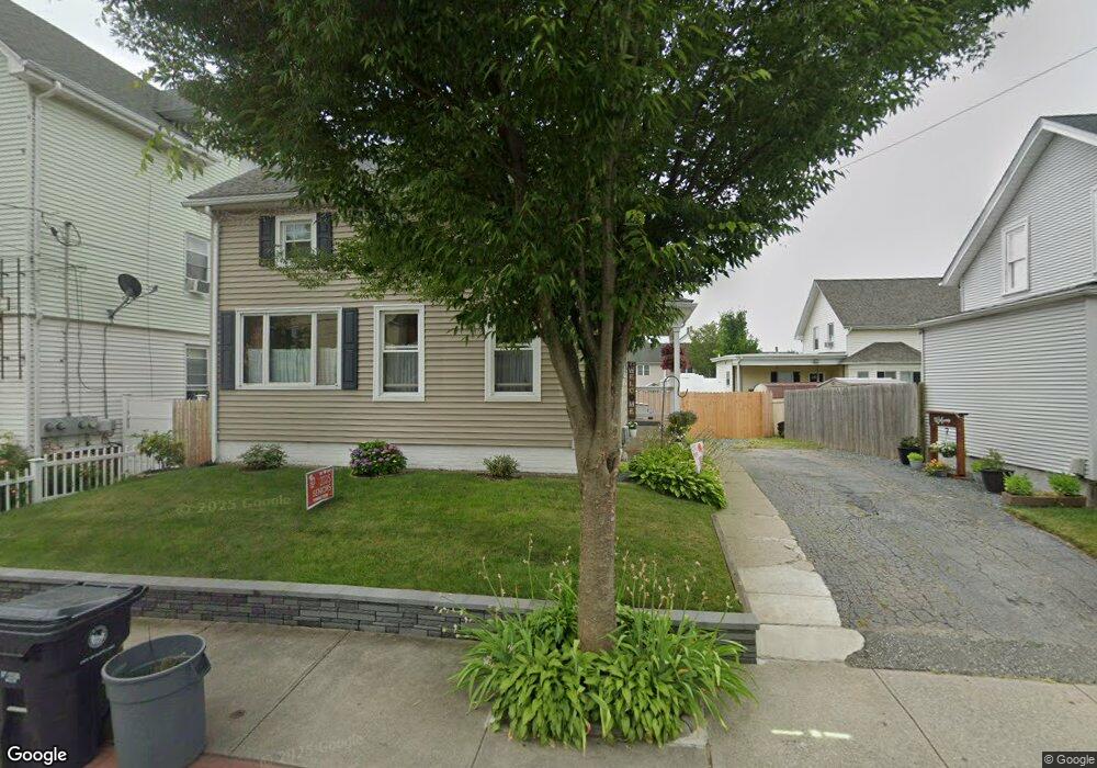
289 Division St Pawtucket, RI 02860
Quality Hill NeighborhoodEstimated Value: $356,000 - $435,000
2
Beds
2
Baths
1,144
Sq Ft
$344/Sq Ft
Est. Value
About This Home
This home is located at 289 Division St, Pawtucket, RI 02860 and is currently estimated at $393,403, approximately $343 per square foot. 289 Division St is a home located in Providence County with nearby schools including International Charter School, Blackstone Academy Charter School, and Saint Teresa Catholic Elementary School.
Ownership History
Date
Name
Owned For
Owner Type
Purchase Details
Closed on
Aug 26, 2019
Sold by
Nordquist Kevin and Nordquist Karen
Bought by
Carreiro Robert and Carreiro Dawn
Current Estimated Value
Home Financials for this Owner
Home Financials are based on the most recent Mortgage that was taken out on this home.
Original Mortgage
$107,448
Outstanding Balance
$93,504
Interest Rate
3.5%
Mortgage Type
FHA
Estimated Equity
$299,899
Create a Home Valuation Report for This Property
The Home Valuation Report is an in-depth analysis detailing your home's value as well as a comparison with similar homes in the area
Home Values in the Area
Average Home Value in this Area
Purchase History
| Date | Buyer | Sale Price | Title Company |
|---|---|---|---|
| Carreiro Robert | $132,000 | -- |
Source: Public Records
Mortgage History
| Date | Status | Borrower | Loan Amount |
|---|---|---|---|
| Open | Carreiro Robert | $107,448 |
Source: Public Records
Tax History Compared to Growth
Tax History
| Year | Tax Paid | Tax Assessment Tax Assessment Total Assessment is a certain percentage of the fair market value that is determined by local assessors to be the total taxable value of land and additions on the property. | Land | Improvement |
|---|---|---|---|---|
| 2025 | $3,499 | $266,100 | $110,400 | $155,700 |
| 2024 | $3,284 | $266,100 | $110,400 | $155,700 |
| 2023 | $3,153 | $186,100 | $58,600 | $127,500 |
| 2022 | $3,086 | $186,100 | $58,600 | $127,500 |
| 2021 | $3,086 | $186,100 | $58,600 | $127,500 |
| 2020 | $2,695 | $129,000 | $40,900 | $88,100 |
| 2019 | $2,695 | $129,000 | $40,900 | $88,100 |
| 2018 | $2,597 | $129,000 | $40,900 | $88,100 |
| 2017 | $2,629 | $115,700 | $41,600 | $74,100 |
| 2016 | $2,533 | $115,700 | $41,600 | $74,100 |
| 2015 | $2,533 | $115,700 | $41,600 | $74,100 |
| 2014 | $2,403 | $104,200 | $41,600 | $62,600 |
Source: Public Records
Map
Nearby Homes
- 291 Division St
- 285 Division St
- 10 Kepler St
- 298 Division St
- 286 Division St
- 306 Division St
- 218 Meadow St
- 218 Meadow St
- 218 Meadow St Unit 218
- 220 Meadow St
- 216 Meadow St
- 216 Meadow St Unit 212
- 222 Meadow St
- 214 Meadow St
- 224 Meadow St
- 224 Meadow St Unit 1
- 212 Meadow St
- 212 Meadow St Unit 2
- 137 S Bend St
- 137 S Bend St Unit 137