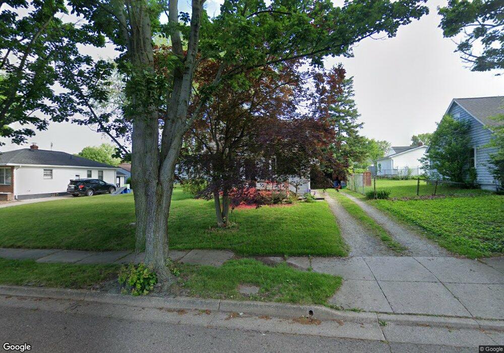
289 E Boxwood Ave Akron, OH 44301
Firestone Park NeighborhoodEstimated Value: $125,000 - $146,000
2
Beds
1
Bath
792
Sq Ft
$171/Sq Ft
Est. Value
About This Home
This home is located at 289 E Boxwood Ave, Akron, OH 44301 and is currently estimated at $135,241, approximately $170 per square foot. 289 E Boxwood Ave is a home located in Summit County with nearby schools including Kenmore Garfield Community Learning Center, Main Preparatory Academy, and Eagle Elementary.
Ownership History
Date
Name
Owned For
Owner Type
Purchase Details
Closed on
Apr 22, 2003
Sold by
Zimbardi Helen and Zimbardi Adam
Bought by
Bender Randall W and Bender Elizabeth
Current Estimated Value
Home Financials for this Owner
Home Financials are based on the most recent Mortgage that was taken out on this home.
Original Mortgage
$45,500
Interest Rate
5.71%
Create a Home Valuation Report for This Property
The Home Valuation Report is an in-depth analysis detailing your home's value as well as a comparison with similar homes in the area
Home Values in the Area
Average Home Value in this Area
Purchase History
| Date | Buyer | Sale Price | Title Company |
|---|---|---|---|
| Bender Randall W | -- | Approved Statewide Title Age |
Source: Public Records
Mortgage History
| Date | Status | Borrower | Loan Amount |
|---|---|---|---|
| Closed | Bender Randall W | $45,500 |
Source: Public Records
Tax History
| Year | Tax Paid | Tax Assessment Tax Assessment Total Assessment is a certain percentage of the fair market value that is determined by local assessors to be the total taxable value of land and additions on the property. | Land | Improvement |
|---|---|---|---|---|
| 2024 | $1,938 | $35,942 | $7,480 | $28,462 |
| 2023 | $1,938 | $35,942 | $7,480 | $28,462 |
| 2022 | $1,813 | $26,331 | $5,422 | $20,909 |
| 2021 | $1,815 | $26,331 | $5,422 | $20,909 |
| 2020 | $1,788 | $26,330 | $5,420 | $20,910 |
| 2019 | $1,723 | $22,990 | $5,420 | $17,570 |
| 2018 | $1,700 | $22,990 | $5,420 | $17,570 |
| 2017 | $1,727 | $22,990 | $5,420 | $17,570 |
| 2016 | $1,728 | $22,990 | $5,420 | $17,570 |
| 2015 | $1,727 | $22,990 | $5,420 | $17,570 |
| 2014 | $1,713 | $22,990 | $5,420 | $17,570 |
| 2013 | $1,689 | $23,150 | $5,420 | $17,730 |
Source: Public Records
Map
Nearby Homes
- 1878 Carter Ave Unit 1880
- 1842 Thornapple Ave
- 231 E Dresden Ave
- 1905 Carter Ave Unit 1907
- 502 E Woodsdale Ave
- 367 Wayne Ave
- 248 E Catawba Ave
- 244 E Catawba Ave
- 106 Selden Ave
- 2069 Penguin Ave
- 2146 Stonehenge Cir
- 2162 Thornbury Ln
- 1597 Glenmount Ave
- 457 S Firestone Blvd
- 1726 Coventry St
- 37 & 39 W Woodsdale Ave
- 634 Prentiss Ave
- 1612 Oakwood Ave
- 1595 Redwood Ave
- 30 Youtz Ave
- 294 E Ralston Ave
- 303 E Boxwood Ave
- 286 E Ralston Ave
- 300 E Ralston Ave
- 281 E Boxwood Ave
- 281 E Boxwood Ave
- 305 E Boxwood Ave
- 280 E Ralston Ave
- 280 E Ralston Ave
- 310 E Ralston Ave
- 309 E Boxwood Ave
- 1967 Thornapple Ave
- 1961 Thornapple Ave
- 1957 Thornapple Ave
- 287 E Waterloo Rd
- 305 E Ralston Ave
- 270 E Ralston Ave
- 291 E Ralston Ave
- 299 E Ralston Ave
- 1904 Glenmount Ave
Your Personal Tour Guide
Ask me questions while you tour the home.