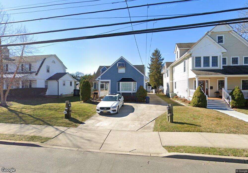
289 E Main St Manasquan, NJ 08736
Estimated Value: $1,559,588 - $1,826,000
3
Beds
3
Baths
2,605
Sq Ft
$630/Sq Ft
Est. Value
About This Home
This home is located at 289 E Main St, Manasquan, NJ 08736 and is currently estimated at $1,640,897, approximately $629 per square foot. 289 E Main St is a home located in Monmouth County with nearby schools including Manasquan Elementary School, Manasquan High School, and St. Catharine School.
Ownership History
Date
Name
Owned For
Owner Type
Purchase Details
Closed on
Jan 12, 2011
Sold by
Chella Kim
Bought by
Belmonte Gerard and Belmonte Eileen
Current Estimated Value
Home Financials for this Owner
Home Financials are based on the most recent Mortgage that was taken out on this home.
Original Mortgage
$576,000
Outstanding Balance
$382,329
Interest Rate
4.62%
Mortgage Type
New Conventional
Estimated Equity
$1,258,568
Purchase Details
Closed on
Dec 15, 2004
Sold by
Sutton William
Bought by
Chella Agostino and Chella Kim
Create a Home Valuation Report for This Property
The Home Valuation Report is an in-depth analysis detailing your home's value as well as a comparison with similar homes in the area
Home Values in the Area
Average Home Value in this Area
Purchase History
| Date | Buyer | Sale Price | Title Company |
|---|---|---|---|
| Belmonte Gerard | $720,000 | First Jersey Title Svcs Inc | |
| Chella Agostino | $740,000 | -- |
Source: Public Records
Mortgage History
| Date | Status | Borrower | Loan Amount |
|---|---|---|---|
| Open | Belmonte Gerard | $576,000 |
Source: Public Records
Tax History
| Year | Tax Paid | Tax Assessment Tax Assessment Total Assessment is a certain percentage of the fair market value that is determined by local assessors to be the total taxable value of land and additions on the property. | Land | Improvement |
|---|---|---|---|---|
| 2025 | $12,377 | $696,100 | $345,000 | $351,100 |
| 2024 | $11,299 | $696,100 | $345,000 | $351,100 |
| 2023 | $11,299 | $660,400 | $345,000 | $315,400 |
| 2022 | $11,205 | $680,300 | $345,000 | $335,300 |
| 2021 | $11,205 | $680,300 | $345,000 | $335,300 |
| 2020 | $11,048 | $680,300 | $345,000 | $335,300 |
| 2019 | $10,633 | $680,300 | $345,000 | $335,300 |
| 2018 | $10,395 | $680,300 | $345,000 | $335,300 |
| 2017 | $10,000 | $680,300 | $345,000 | $335,300 |
| 2016 | $9,735 | $680,300 | $345,000 | $335,300 |
| 2015 | $9,524 | $557,300 | $206,600 | $350,700 |
| 2014 | $9,513 | $557,300 | $206,600 | $350,700 |
Source: Public Records
Map
Nearby Homes
- 340 E Main St
- 49 Wyckoff Ave
- 133 Fletcher Ave
- 130 Union Ave
- 404 Perrine Blvd
- 11 Pearce Ave
- 405 Perrine Blvd
- 65 Pearce Ave
- 323-325 Fisk Ave
- 329 Fisk Ave
- 10 Waters Edge
- 43 Pearce Ct
- 22 2nd Ave
- 22 Crescent Dr
- 219 Neptune Place
- 55 Beach Front
- 140 Curtis Place
- 200-202 3rd Ave
- 217 Neptune Place
- 205 Stockton Blvd
Your Personal Tour Guide
Ask me questions while you tour the home.