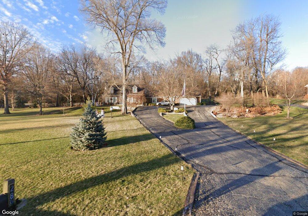
289 Fox Harbor Dr Trout Valley, IL 60013
Estimated Value: $477,467 - $629,000
4
Beds
3
Baths
2,616
Sq Ft
$212/Sq Ft
Est. Value
About This Home
This home is located at 289 Fox Harbor Dr, Trout Valley, IL 60013 and is currently estimated at $555,117, approximately $212 per square foot. 289 Fox Harbor Dr is a home located in McHenry County with nearby schools including Briargate Elementary School, Cary Jr High School, and Cary-Grove High School.
Ownership History
Date
Name
Owned For
Owner Type
Purchase Details
Closed on
Oct 1, 2014
Sold by
Cluts Samuel
Bought by
Kennedy Peter W and Kennedy Denice
Current Estimated Value
Home Financials for this Owner
Home Financials are based on the most recent Mortgage that was taken out on this home.
Original Mortgage
$100,000
Outstanding Balance
$76,546
Interest Rate
4.37%
Mortgage Type
New Conventional
Estimated Equity
$478,571
Purchase Details
Closed on
Oct 9, 2013
Sold by
Cluts Sammuel
Bought by
Cluts Sammuel
Purchase Details
Closed on
Jan 12, 1998
Sold by
Cluts Sammuel and Cluts Beverly A
Bought by
Cluts Beverly A and Beverly A Cluts Trust #101
Create a Home Valuation Report for This Property
The Home Valuation Report is an in-depth analysis detailing your home's value as well as a comparison with similar homes in the area
Home Values in the Area
Average Home Value in this Area
Purchase History
| Date | Buyer | Sale Price | Title Company |
|---|---|---|---|
| Kennedy Peter W | $261,000 | Stewart Title | |
| Cluts Sammuel | -- | None Available | |
| Cluts Beverly A | -- | -- | |
| Cluts Sammuel | -- | -- |
Source: Public Records
Mortgage History
| Date | Status | Borrower | Loan Amount |
|---|---|---|---|
| Open | Kennedy Peter W | $100,000 |
Source: Public Records
Tax History
| Year | Tax Paid | Tax Assessment Tax Assessment Total Assessment is a certain percentage of the fair market value that is determined by local assessors to be the total taxable value of land and additions on the property. | Land | Improvement |
|---|---|---|---|---|
| 2024 | $9,883 | $143,288 | $31,110 | $112,178 |
| 2023 | $9,686 | $128,153 | $27,824 | $100,329 |
| 2022 | $11,073 | $141,333 | $35,349 | $105,984 |
| 2021 | $10,570 | $131,669 | $32,932 | $98,737 |
| 2020 | $10,260 | $127,008 | $31,766 | $95,242 |
| 2019 | $10,072 | $121,562 | $30,404 | $91,158 |
| 2018 | $8,986 | $106,546 | $38,902 | $67,644 |
| 2017 | $8,827 | $100,373 | $36,648 | $63,725 |
| 2016 | $8,787 | $94,141 | $34,373 | $59,768 |
| 2013 | -- | $103,243 | $32,066 | $71,177 |
Source: Public Records
Map
Nearby Homes
- 204 Country Commons Rd
- 9814 River Bluff Ln
- 2101 Riverview Ave
- 2016 Grove Ln
- 103 S Seebert St Unit 1
- 425 Haber Rd Unit 6
- 421 Haber Rd Unit 7
- 417 Haber Rd Unit 6
- 413 Haber Rd Unit 5
- 321 Cold Spring St
- 341 Cold Spring St
- 331 Cold Spring St
- 371 Cold Spring St
- 1104 Hillcrest Ave
- 550 Enclave Dr
- 208 S River Rd
- Lots 2,3,4 Northwest Hwy
- 128 E Main St
- 124 E Main St
- 349 Park Ave
Your Personal Tour Guide
Ask me questions while you tour the home.