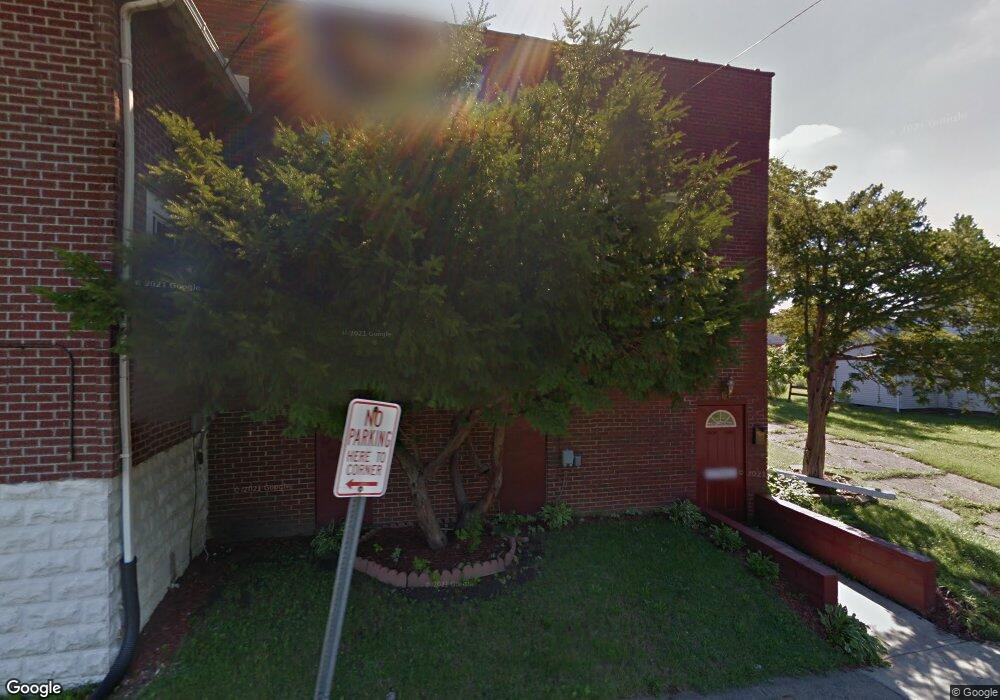
289 Harker St Mansfield, OH 44903
Estimated Value: $80,396 - $254,000
3
Beds
2
Baths
1,552
Sq Ft
$81/Sq Ft
Est. Value
About This Home
This home is located at 289 Harker St, Mansfield, OH 44903 and is currently estimated at $125,599, approximately $80 per square foot. 289 Harker St is a home located in Richland County with nearby schools including Foundation Academy, St. Peter's Elementary/Montessori School, and St. Peter's High School/Junior High.
Ownership History
Date
Name
Owned For
Owner Type
Purchase Details
Closed on
Jul 9, 2004
Sold by
Sampsel Andrew and Chevalier Eric
Bought by
Glowacky Robert S and Glowacky Diane M
Current Estimated Value
Home Financials for this Owner
Home Financials are based on the most recent Mortgage that was taken out on this home.
Original Mortgage
$9,000
Outstanding Balance
$5,545
Interest Rate
10%
Mortgage Type
Seller Take Back
Estimated Equity
$120,054
Purchase Details
Closed on
Aug 18, 1998
Sold by
Roane Don
Bought by
Glowacky Robert S and Glowacky Diane M
Create a Home Valuation Report for This Property
The Home Valuation Report is an in-depth analysis detailing your home's value as well as a comparison with similar homes in the area
Home Values in the Area
Average Home Value in this Area
Purchase History
| Date | Buyer | Sale Price | Title Company |
|---|---|---|---|
| Glowacky Robert S | $9,000 | -- | |
| Glowacky Robert S | $32,333 | -- |
Source: Public Records
Mortgage History
| Date | Status | Borrower | Loan Amount |
|---|---|---|---|
| Open | Glowacky Robert S | $9,000 |
Source: Public Records
Tax History Compared to Growth
Tax History
| Year | Tax Paid | Tax Assessment Tax Assessment Total Assessment is a certain percentage of the fair market value that is determined by local assessors to be the total taxable value of land and additions on the property. | Land | Improvement |
|---|---|---|---|---|
| 2024 | $57 | $1,130 | $1,130 | $0 |
| 2023 | $54 | $1,130 | $1,130 | $0 |
| 2022 | $59 | $1,030 | $1,030 | $0 |
| 2021 | $59 | $1,030 | $1,030 | $0 |
| 2020 | $196 | $3,330 | $1,290 | $2,040 |
| 2019 | $217 | $3,330 | $1,290 | $2,040 |
| 2018 | $214 | $3,330 | $1,290 | $2,040 |
| 2017 | $232 | $3,330 | $1,290 | $2,040 |
| 2016 | $256 | $3,970 | $2,040 | $1,930 |
| 2015 | $245 | $3,970 | $2,040 | $1,930 |
| 2014 | $242 | $3,970 | $2,040 | $1,930 |
| 2012 | $97 | $4,180 | $2,150 | $2,030 |
Source: Public Records
Map
Nearby Homes
- 371 Bell St
- 0 Voegele Ave Unit Lot 6048, 6049, 6
- 526 Bowman St
- 156 Buckingham Ave Unit 158
- 283 Bulkley Ave
- 426 Mcpherson St
- 362-364 W 6th St
- 452 Daisy St
- 512 Burns St
- 282 W 5th St
- 219 W 5th St
- 0 Highway 30
- 169 W 5th St
- 743 Bowman St
- 237 Helen Ave
- 406 Sherman Place
- 120 Gettings Place
- 0 State Route 314 Unit 9067316
- 0 State Route 314 Unit 225021979
- 269 Parkway Dr
- 279 Harker St
- 444 Woodland Ave
- 275 Harker St
- 457 Woodland Ave
- 451 Woodland Ave
- 442 Woodland Ave
- 276 Harker St
- 449 Johns Ave
- 438 Woodland Ave
- 288 Harker St
- 282 Harker St
- 300 Harker St
- 434 Woodland Ave
- 445 Johns Ave
- 272 Harker St
- 441 Johns Ave
- 439 Woodland Ave
- 308 Harker St
- 264 Harker St
- 430 Woodland Ave