289 High Falls Rd Newland, NC 28657
Estimated Value: $664,000 - $922,000
4
Beds
3
Baths
1,734
Sq Ft
$450/Sq Ft
Est. Value
About This Home
This home is located at 289 High Falls Rd, Newland, NC 28657 and is currently estimated at $779,578, approximately $449 per square foot. 289 High Falls Rd is a home with nearby schools including Freedom Trail Elementary School, Cranberry Middle School, and Avery County High School.
Ownership History
Date
Name
Owned For
Owner Type
Purchase Details
Closed on
Sep 29, 2025
Sold by
Kimberly B Barnhardt Revocable Trust and Barnhardt Kimberly B
Bought by
Hatling Jeffrey A and Barnhardt Hatling Lee
Current Estimated Value
Purchase Details
Closed on
Jun 5, 2023
Sold by
Barnhardt Kimberly B
Bought by
Barnhardt Kimberly B
Purchase Details
Closed on
May 9, 2023
Sold by
Barnhardt Thomas L
Bought by
Barnhardt Kimberly B
Purchase Details
Closed on
Feb 27, 2008
Sold by
Hayes Kent L and Hayes Mary Grace Loftin
Bought by
Barnhardt Thomas L and Barnhardt Kimberly B
Purchase Details
Closed on
Feb 25, 2005
Sold by
Davis Norman Carlton and Davis Deborah Ferrell
Bought by
Barnhardt Thomas L and Barnhardt Kimberly B
Create a Home Valuation Report for This Property
The Home Valuation Report is an in-depth analysis detailing your home's value as well as a comparison with similar homes in the area
Home Values in the Area
Average Home Value in this Area
Purchase History
| Date | Buyer | Sale Price | Title Company |
|---|---|---|---|
| Hatling Jeffrey A | $107,000 | None Listed On Document | |
| Barnhardt Kimberly B | -- | None Listed On Document | |
| Barnhardt Kimberly B | -- | None Listed On Document | |
| Barnhardt Kimberly B | -- | None Listed On Document | |
| Barnhardt Thomas L | $440,000 | None Available | |
| Barnhardt Thomas L | $85,000 | None Available |
Source: Public Records
Tax History Compared to Growth
Tax History
| Year | Tax Paid | Tax Assessment Tax Assessment Total Assessment is a certain percentage of the fair market value that is determined by local assessors to be the total taxable value of land and additions on the property. | Land | Improvement |
|---|---|---|---|---|
| 2024 | $1,895 | $468,400 | $95,600 | $372,800 |
| 2023 | $1,895 | $473,700 | $105,000 | $368,700 |
| 2022 | $1,895 | $473,700 | $105,000 | $368,700 |
| 2021 | $2,210 | $401,800 | $82,200 | $319,600 |
| 2020 | $2,210 | $401,800 | $82,200 | $319,600 |
| 2019 | $2,210 | $401,800 | $82,200 | $319,600 |
| 2018 | $2,210 | $401,800 | $82,200 | $319,600 |
| 2017 | $1,486 | $270,100 | $0 | $0 |
| 2016 | $1,208 | $270,100 | $0 | $0 |
| 2015 | $1,208 | $270,100 | $70,000 | $200,100 |
| 2012 | -- | $365,700 | $104,400 | $261,300 |
Source: Public Records
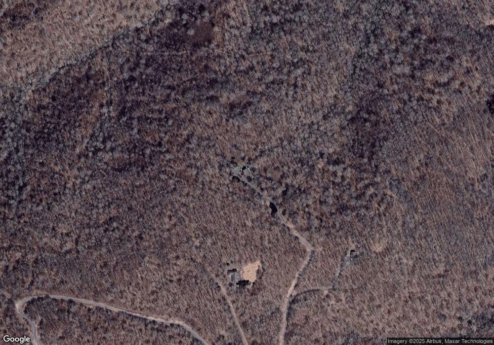
Map
Nearby Homes
- 2457 N Us 19e Hwy
- 3018 N Hwy Us 19 Hwy E
- 999 U S 19e
- 1011 N Us 19e Hwy
- 000 Whitaker Branch Rd
- TBD Jewel Weed Trail
- Lot 24 Jewel Weed
- Lot 44 May Apple Trail
- TBD Jerry's Creek Rd
- 331 May Apple Trail
- 409 Jewel Weed Trail
- Lot 32 Jewel Weed Trail
- Lot 31 Jewel Weed Trail
- 31 Bailey-Mathes Farm Ln
- Lot 39 May Apple Trail
- Lot 38 May Apple Trail
- Lot14 Cranberry View
- 37 S US 19e Hwy
- 840 Brooks Shell Rd
- 1010 Heaton Creek Rd
- 220 Hog Pen Branch Rd
- 333 High Falls Rd
- 260 The Ridge Rd
- 196 The Ridge Rd
- 438 Iron Stone Ln
- 44 High Falls Rd
- 87 Red Hawk Rd
- 109 Red Hawk Rd
- 160 Red Hawk Rd
- 282 Ruins Pasture Rd
- 326 Red Hawk Rd
- 2171 Big Horse Creek Rd
- 1951 Big Horse Creek Rd
- 80 High Meadow Rd
- 2053 Big Horse Creek Rd
- 375 Ruins Pasture Rd
- 191 Yellow Mountain Rd
- 1893 Big Horse Creek Rd
- 91 High Lonesome Ln
- 1884 Big Horse Creek Rd