289 Kirkham Rd Bushkill, PA 18324
Estimated Value: $266,000 - $342,505
3
Beds
2
Baths
2,224
Sq Ft
$137/Sq Ft
Est. Value
About This Home
This home is located at 289 Kirkham Rd, Bushkill, PA 18324 and is currently estimated at $304,253, approximately $136 per square foot. 289 Kirkham Rd is a home located in Pike County with nearby schools including Middle Smithfield Elementary School and Lehman Intermediate School.
Ownership History
Date
Name
Owned For
Owner Type
Purchase Details
Closed on
Mar 26, 2015
Sold by
Nguyen Jim and Chuc Jennifer
Bought by
Bishop Pamela
Current Estimated Value
Home Financials for this Owner
Home Financials are based on the most recent Mortgage that was taken out on this home.
Original Mortgage
$93,279
Outstanding Balance
$72,146
Interest Rate
3.87%
Mortgage Type
FHA
Estimated Equity
$232,107
Create a Home Valuation Report for This Property
The Home Valuation Report is an in-depth analysis detailing your home's value as well as a comparison with similar homes in the area
Home Values in the Area
Average Home Value in this Area
Purchase History
| Date | Buyer | Sale Price | Title Company |
|---|---|---|---|
| Bishop Pamela | $95,000 | None Available |
Source: Public Records
Mortgage History
| Date | Status | Borrower | Loan Amount |
|---|---|---|---|
| Open | Bishop Pamela | $93,279 |
Source: Public Records
Tax History Compared to Growth
Tax History
| Year | Tax Paid | Tax Assessment Tax Assessment Total Assessment is a certain percentage of the fair market value that is determined by local assessors to be the total taxable value of land and additions on the property. | Land | Improvement |
|---|---|---|---|---|
| 2025 | $5,969 | $36,960 | $10,000 | $26,960 |
| 2024 | $5,969 | $36,960 | $10,000 | $26,960 |
| 2023 | $5,879 | $36,960 | $10,000 | $26,960 |
| 2022 | $5,697 | $36,960 | $10,000 | $26,960 |
| 2021 | $5,645 | $36,960 | $10,000 | $26,960 |
| 2020 | $5,645 | $36,960 | $10,000 | $26,960 |
| 2019 | $5,571 | $36,960 | $10,000 | $26,960 |
| 2018 | $5,543 | $36,960 | $10,000 | $26,960 |
| 2017 | $5,438 | $36,960 | $10,000 | $26,960 |
| 2016 | $0 | $36,960 | $10,000 | $26,960 |
| 2014 | -- | $36,960 | $10,000 | $26,960 |
Source: Public Records
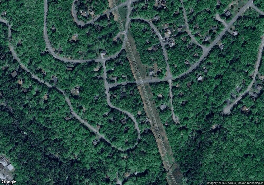
Map
Nearby Homes
- 117 Manchester Dr
- 6116 Braintree Ct
- 159 Manchester Dr
- 151 Manchester Dr
- 251 Brentwood Dr
- 250 Brentwood Dr
- 114 Brentwood Dr
- 130 Alford Ct
- 211 Brentwood Dr
- 207 Manchester Dr
- 297 Brentwood Dr
- Lots 1992 Manchester Dr
- Lot 3144 Kirkham Rd
- 3405 Kirkham Rd
- 3404 Kirkham Rd
- 0 Stafford Dr Unit PWBPW252870
- Lot 1895 Stafford Dr
- 269 Stafford Dr
- 2218 Lancaster Dr
- 161 Dunchurch Dr
- 295 Kirkham Rd
- 133 Manchester Dr
- 195 Wickes Rd Unit 155
- 292 Kirkham Rd
- 284 Kirkham Rd
- 6106 Braintree Ct
- 2026 Manchester Dr
- 300 Kirkham Rd
- 6110 Braintree Ct
- 5132 Braintree Dr
- 3005 Braintree Dr
- 2023 Manchester Dr
- 2017 Manchester Dr
- 153 Saw Creek Estate
- 229 Brentwood Dr
- 2021 Manchester Dr
- 2013 Manchester Dr
- 2028 Manchester Dr
- 135 Manchester Dr
- 0 Braintree Ct