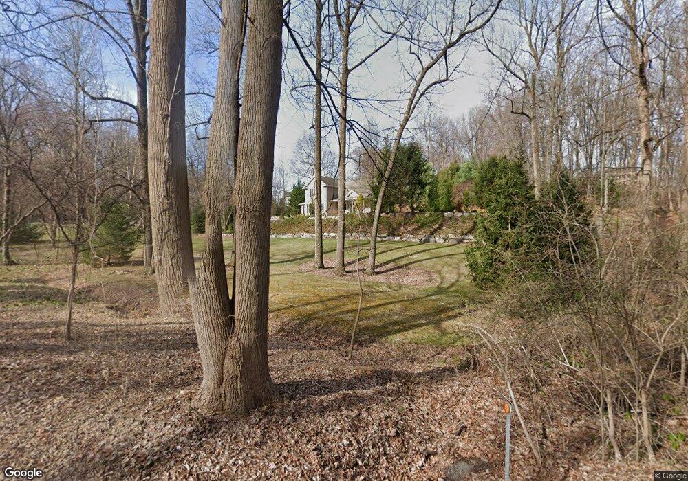
289 Maple Grove Rd Mohnton, PA 19540
Estimated Value: $519,889 - $625,000
3
Beds
3
Baths
2,362
Sq Ft
$238/Sq Ft
Est. Value
About This Home
This home is located at 289 Maple Grove Rd, Mohnton, PA 19540 and is currently estimated at $563,222, approximately $238 per square foot. 289 Maple Grove Rd is a home located in Berks County with nearby schools including Brecknock Elementary School, Governor Mifflin Intermediate School, and Governor Mifflin Middle School.
Ownership History
Date
Name
Owned For
Owner Type
Purchase Details
Closed on
Mar 26, 2004
Sold by
Eshelman Gary L
Bought by
Mandolos Linda L
Current Estimated Value
Home Financials for this Owner
Home Financials are based on the most recent Mortgage that was taken out on this home.
Original Mortgage
$67,200
Interest Rate
6.95%
Mortgage Type
Balloon
Create a Home Valuation Report for This Property
The Home Valuation Report is an in-depth analysis detailing your home's value as well as a comparison with similar homes in the area
Home Values in the Area
Average Home Value in this Area
Purchase History
| Date | Buyer | Sale Price | Title Company |
|---|---|---|---|
| Mandolos Linda L | $84,000 | -- |
Source: Public Records
Mortgage History
| Date | Status | Borrower | Loan Amount |
|---|---|---|---|
| Closed | Mandolos Linda L | $67,200 |
Source: Public Records
Tax History Compared to Growth
Tax History
| Year | Tax Paid | Tax Assessment Tax Assessment Total Assessment is a certain percentage of the fair market value that is determined by local assessors to be the total taxable value of land and additions on the property. | Land | Improvement |
|---|---|---|---|---|
| 2025 | $3,698 | $207,200 | $49,700 | $157,500 |
| 2024 | $9,533 | $207,200 | $49,700 | $157,500 |
| 2023 | $9,266 | $207,200 | $49,700 | $157,500 |
| 2022 | $9,034 | $207,200 | $49,700 | $157,500 |
| 2021 | $8,855 | $207,200 | $49,700 | $157,500 |
| 2020 | $8,855 | $207,200 | $49,700 | $157,500 |
| 2019 | $8,747 | $207,200 | $49,700 | $157,500 |
| 2018 | $8,590 | $207,200 | $49,700 | $157,500 |
| 2017 | $8,423 | $207,200 | $49,700 | $157,500 |
| 2016 | $2,904 | $207,200 | $49,700 | $157,500 |
| 2015 | $2,904 | $207,200 | $49,700 | $157,500 |
| 2014 | $2,904 | $207,200 | $49,700 | $157,500 |
Source: Public Records
Map
Nearby Homes
- 32 Stonehill Dr
- 180 Candy Rd
- 338 Candy Rd
- 45 Lindsay Ct
- 74 Redcay Rd
- 31 Imperial Dr
- 5 Quail Ridge Dr
- 5065 Cherrywood Dr
- 10 Cinamon Ct
- 8 Hessian Blvd
- 5021 Brook Ln
- 4430 New Holland Rd
- 1694 Cedar Top Rd
- 127 Cedar Ln
- 40 Tanglewood Dr
- 165 Hillcrest Rd
- 139 Hillcrest Rd
- 3 Monroe St
- 140 S Church St
- 15 Lake St
- 305 Maple Grove Rd
- 268 Maple Grove Rd
- 347 Maple Grove Rd
- 204 Maple Grove Rd
- 207 Maple Grove Rd
- 1047 Imperial Dr
- 1081 Imperial Dr
- 1083 Imperial Dr
- 1007 Imperial Dr
- 26 Stone Hill Dr
- 24 Stone Hill Dr
- 1034 Imperial Dr
- 1064 Imperial Dr
- 22 Stonehill Dr
- 22 Stone Hill Dr
- 28 Stone Hill Dr
- 969 Imperial Dr
- 352 Maple Grove Rd
- 30 Stonehill Dr
- 182 Maple Grove Rd