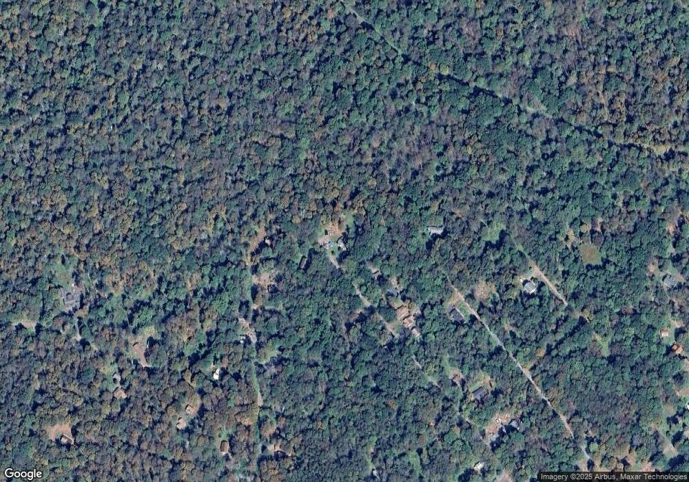
289 Maple Ln Greentown, PA 18426
Estimated Value: $173,510 - $186,000
2
Beds
2
Baths
900
Sq Ft
$200/Sq Ft
Est. Value
About This Home
This home is located at 289 Maple Ln, Greentown, PA 18426 and is currently estimated at $179,755, approximately $199 per square foot. 289 Maple Ln is a home located in Pike County with nearby schools including Wallenpaupack Area High School.
Ownership History
Date
Name
Owned For
Owner Type
Purchase Details
Closed on
Sep 20, 2024
Sold by
Wolf Douglas W and Schurgot Wendy Lee
Bought by
Schurgot Wendy Lee
Current Estimated Value
Home Financials for this Owner
Home Financials are based on the most recent Mortgage that was taken out on this home.
Original Mortgage
$70,658
Outstanding Balance
$69,864
Interest Rate
6.47%
Mortgage Type
Seller Take Back
Estimated Equity
$109,891
Create a Home Valuation Report for This Property
The Home Valuation Report is an in-depth analysis detailing your home's value as well as a comparison with similar homes in the area
Home Values in the Area
Average Home Value in this Area
Purchase History
| Date | Buyer | Sale Price | Title Company |
|---|---|---|---|
| Schurgot Wendy Lee | $70,658 | None Listed On Document | |
| Schurgot Wendy Lee | $70,658 | None Listed On Document |
Source: Public Records
Mortgage History
| Date | Status | Borrower | Loan Amount |
|---|---|---|---|
| Open | Schurgot Wendy Lee | $70,658 | |
| Closed | Schurgot Wendy Lee | $70,658 |
Source: Public Records
Tax History Compared to Growth
Tax History
| Year | Tax Paid | Tax Assessment Tax Assessment Total Assessment is a certain percentage of the fair market value that is determined by local assessors to be the total taxable value of land and additions on the property. | Land | Improvement |
|---|---|---|---|---|
| 2025 | $1,472 | $13,170 | $1,250 | $11,920 |
| 2024 | $1,472 | $13,170 | $1,250 | $11,920 |
| 2023 | $1,410 | $13,170 | $1,250 | $11,920 |
| 2022 | $1,377 | $13,170 | $1,250 | $11,920 |
| 2021 | $1,357 | $13,170 | $1,250 | $11,920 |
| 2020 | $1,357 | $13,170 | $1,250 | $11,920 |
| 2019 | $1,314 | $13,170 | $1,250 | $11,920 |
| 2018 | $1,292 | $13,170 | $1,250 | $11,920 |
| 2017 | $1,251 | $13,170 | $1,250 | $11,920 |
| 2016 | $0 | $13,170 | $1,250 | $11,920 |
| 2015 | -- | $13,170 | $1,250 | $11,920 |
| 2014 | -- | $13,170 | $1,250 | $11,920 |
Source: Public Records
Map
Nearby Homes
- 153 Stone Chair Trail
- 108 Hughes Dr
- 111 Meadow Ln
- 120 Melody Ln
- 58 Branch Rd
- Lot 1301 Lakeside Dr
- Lot 1302 Lakeside Dr
- 1708 Horizon Dr
- SkyView Lake Redwood Dr
- SkyView Lakes Oakwood Dr
- SkyView Lake Oakwood Dr
- SkyView Lakes Oak Wood Dr
- 0 Horizon Dr
- 1901-1902 Horizon Dr
- Lot 1906 Horizon Dr
- 1015 Pennsylvania 390
- 1015 Route 390
- 828 & 829 View Dr
- 827 & 826 View Dr
- 147 View Dr
- 167 Maple Ln
- 279 Maple Ln
- 288 Maple Ln
- 275 Maple Ln
- 273 Maple Ln
- 167 Stone Chair Trail
- 165 Stone Chair Trail
- 163 Stone Chair Trail
- 271 Maple Ln
- 147 Dolls Ln
- 269 Maple Ln
- 161 Stone Chair Trail
- 267 Maple Ln
- 278 Maple Ln
- 159 Stone Chair Trail
- 160 Stone Chair Trail
- 0 Dolls Ln Unit PWB221762
- 157 Stone Chair Trail
- 158 Stone Chair Trail
- 254 Maple Ln
