289 Mcintosh Rd West Chester, PA 19382
Estimated Value: $451,000 - $511,000
3
Beds
3
Baths
2,086
Sq Ft
$227/Sq Ft
Est. Value
About This Home
This home is located at 289 Mcintosh Rd, West Chester, PA 19382 and is currently estimated at $473,216, approximately $226 per square foot. 289 Mcintosh Rd is a home located in Chester County with nearby schools including Hillsdale Elementary School, E.N. Peirce Middle School, and Henderson High School.
Ownership History
Date
Name
Owned For
Owner Type
Purchase Details
Closed on
Apr 16, 2004
Sold by
Freas Kathleen J
Bought by
Defeo Kristen
Current Estimated Value
Home Financials for this Owner
Home Financials are based on the most recent Mortgage that was taken out on this home.
Original Mortgage
$165,000
Outstanding Balance
$76,236
Interest Rate
5.4%
Mortgage Type
Purchase Money Mortgage
Estimated Equity
$396,980
Purchase Details
Closed on
Aug 9, 2001
Sold by
Ferguson Charles T and Ferguson Tracey A
Bought by
First Union National Bank Of Delaware and First Union Home Equity Bank
Create a Home Valuation Report for This Property
The Home Valuation Report is an in-depth analysis detailing your home's value as well as a comparison with similar homes in the area
Home Values in the Area
Average Home Value in this Area
Purchase History
| Date | Buyer | Sale Price | Title Company |
|---|---|---|---|
| Defeo Kristen | $249,900 | -- | |
| First Union National Bank Of Delaware | -- | -- |
Source: Public Records
Mortgage History
| Date | Status | Borrower | Loan Amount |
|---|---|---|---|
| Open | Defeo Kristen | $165,000 |
Source: Public Records
Tax History Compared to Growth
Tax History
| Year | Tax Paid | Tax Assessment Tax Assessment Total Assessment is a certain percentage of the fair market value that is determined by local assessors to be the total taxable value of land and additions on the property. | Land | Improvement |
|---|---|---|---|---|
| 2025 | $3,427 | $126,780 | $20,330 | $106,450 |
| 2024 | $3,427 | $118,240 | $20,330 | $97,910 |
| 2023 | $3,398 | $118,240 | $20,330 | $97,910 |
| 2022 | $3,353 | $118,240 | $20,330 | $97,910 |
| 2021 | $3,277 | $118,240 | $20,330 | $97,910 |
| 2020 | $3,255 | $118,240 | $20,330 | $97,910 |
| 2019 | $3,150 | $118,240 | $20,330 | $97,910 |
| 2018 | $3,081 | $118,240 | $20,330 | $97,910 |
| 2017 | $3,011 | $118,240 | $20,330 | $97,910 |
| 2016 | $2,648 | $118,240 | $20,330 | $97,910 |
| 2015 | $2,648 | $118,240 | $20,330 | $97,910 |
| 2014 | $2,648 | $118,240 | $20,330 | $97,910 |
Source: Public Records
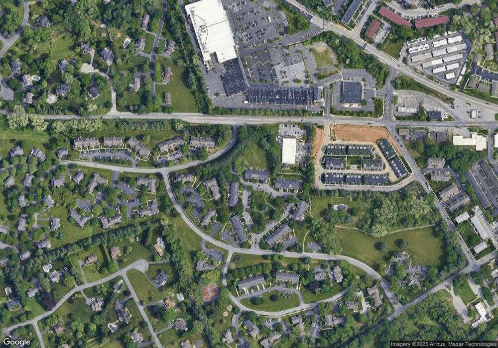
Map
Nearby Homes
- 368 Star Tavern Ln
- 303 Star Tavern Ln
- 345 Star Tavern Ln
- 324 Star Tavern Ln
- 765 Bradford Terrace Unit 238
- 722 Scotch Way Unit C-26
- 505 S Maryland Ave
- 523 Raymond Dr Unit 46
- 506 Raymond Dr Unit 4
- 216 Yorkminster Rd Unit 1502
- 164 Mansion House Dr Unit 401A
- 759 Brettingham Ct Unit 505C
- 744 Mccardle Dr Unit 35
- 443 W Gay St
- 751 Mccardle Dr Unit 27
- 418 Hannum Ave
- 433 W Gay St
- 314 Mayfield Ave
- 303 W Washington St
- 959 Garlington Cir
- 287 Mcintosh Rd
- 285 Mcintosh Rd Unit 106
- 283 Mcintosh Rd
- 281 Mcintosh Rd
- 279 Mcintosh Rd
- 291 Mcintosh Rd Unit 109
- 293 Mcintosh Rd Unit 110
- 277 Mcintosh Rd
- 295 Mcintosh Rd Unit 111
- 297 Mcintosh Rd Unit 112
- 299 Mcintosh Rd
- 301 Mcintosh Rd Unit 114
- 275 Mcintosh Rd Unit 101
- 343 Mcintosh Rd Unit 143
- 303 Mcintosh Rd Unit 115
- 341 Mcintosh Rd Unit 142
- 273 Mcintosh Rd
- 339 Mcintosh Rd
- 337 Mcintosh Rd Unit 140
- 333 Mcintosh Rd Unit 138