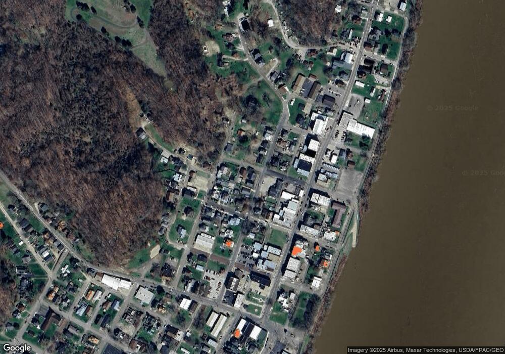
289 N 3rd Ave Middleport, OH 45760
Estimated Value: $85,000 - $117,000
3
Beds
2
Baths
1,482
Sq Ft
$67/Sq Ft
Est. Value
About This Home
This home is located at 289 N 3rd Ave, Middleport, OH 45760 and is currently estimated at $98,975, approximately $66 per square foot. 289 N 3rd Ave is a home located in Meigs County with nearby schools including Meigs Primary School, Meigs Intermediate School, and Meigs Middle School.
Ownership History
Date
Name
Owned For
Owner Type
Purchase Details
Closed on
Mar 29, 2006
Sold by
Dodson Britt H and Dodson Stacy L
Bought by
Crane Benjamin P
Current Estimated Value
Home Financials for this Owner
Home Financials are based on the most recent Mortgage that was taken out on this home.
Original Mortgage
$72,000
Outstanding Balance
$41,304
Interest Rate
6.33%
Mortgage Type
Stand Alone First
Estimated Equity
$57,671
Purchase Details
Closed on
Aug 26, 1999
Bought by
Crane Benjamin P
Create a Home Valuation Report for This Property
The Home Valuation Report is an in-depth analysis detailing your home's value as well as a comparison with similar homes in the area
Home Values in the Area
Average Home Value in this Area
Purchase History
| Date | Buyer | Sale Price | Title Company |
|---|---|---|---|
| Crane Benjamin P | -- | Secure Title Services Ltd | |
| Crane Benjamin P | $52,000 | -- |
Source: Public Records
Mortgage History
| Date | Status | Borrower | Loan Amount |
|---|---|---|---|
| Open | Crane Benjamin P | $72,000 |
Source: Public Records
Tax History Compared to Growth
Tax History
| Year | Tax Paid | Tax Assessment Tax Assessment Total Assessment is a certain percentage of the fair market value that is determined by local assessors to be the total taxable value of land and additions on the property. | Land | Improvement |
|---|---|---|---|---|
| 2024 | $782 | $19,730 | $3,470 | $16,260 |
| 2023 | $782 | $19,730 | $3,470 | $16,260 |
| 2022 | $758 | $19,730 | $3,470 | $16,260 |
| 2021 | $772 | $17,540 | $3,290 | $14,250 |
| 2020 | $778 | $17,540 | $3,290 | $14,250 |
| 2019 | $769 | $17,540 | $3,290 | $14,250 |
| 2018 | $686 | $16,030 | $2,190 | $13,840 |
| 2017 | $686 | $16,030 | $2,190 | $13,840 |
| 2016 | $696 | $16,030 | $2,190 | $13,840 |
| 2014 | $868 | $21,870 | $2,230 | $19,640 |
| 2013 | $868 | $21,870 | $2,230 | $19,640 |
Source: Public Records
Map
Nearby Homes