289 Nc 561 Hwy Louisburg, NC 27549
Estimated Value: $381,000 - $670,000
3
Beds
5
Baths
3,497
Sq Ft
$141/Sq Ft
Est. Value
About This Home
This home is located at 289 Nc 561 Hwy, Louisburg, NC 27549 and is currently estimated at $492,875, approximately $140 per square foot. 289 Nc 561 Hwy is a home with nearby schools including Louisburg Elementary School, Terrell Lane Middle School, and Louisburg High School.
Ownership History
Date
Name
Owned For
Owner Type
Purchase Details
Closed on
Feb 3, 2022
Sold by
Pernell Karl T
Bought by
Stallings Marion
Current Estimated Value
Purchase Details
Closed on
Jun 17, 2021
Sold by
Pernell Mayor Karl T
Bought by
Launey John and Launey Kathryn
Purchase Details
Closed on
Mar 25, 2021
Sold by
Town Of Louisburg
Bought by
County Of Franklin and State Of North Carolina
Create a Home Valuation Report for This Property
The Home Valuation Report is an in-depth analysis detailing your home's value as well as a comparison with similar homes in the area
Home Values in the Area
Average Home Value in this Area
Purchase History
| Date | Buyer | Sale Price | Title Company |
|---|---|---|---|
| Stallings Marion | -- | None Listed On Document | |
| Launey John | $900 | None Listed On Document | |
| County Of Franklin | $500 | None Available |
Source: Public Records
Tax History Compared to Growth
Tax History
| Year | Tax Paid | Tax Assessment Tax Assessment Total Assessment is a certain percentage of the fair market value that is determined by local assessors to be the total taxable value of land and additions on the property. | Land | Improvement |
|---|---|---|---|---|
| 2025 | $4,669 | $453,630 | $93,700 | $359,930 |
| 2024 | $4,669 | $453,630 | $93,700 | $359,930 |
| 2023 | $3,512 | $264,770 | $35,920 | $228,850 |
| 2022 | $3,370 | $264,770 | $35,920 | $228,850 |
| 2021 | $3,396 | $264,770 | $35,920 | $228,850 |
| 2020 | $3,406 | $264,770 | $35,920 | $228,850 |
| 2019 | $3,396 | $264,770 | $35,920 | $228,850 |
| 2018 | $3,391 | $264,770 | $35,920 | $228,850 |
| 2017 | $3,671 | $259,670 | $31,810 | $227,860 |
| 2016 | $3,819 | $259,670 | $31,810 | $227,860 |
| 2015 | $3,871 | $259,670 | $31,810 | $227,860 |
| 2014 | $3,710 | $259,670 | $31,810 | $227,860 |
Source: Public Records
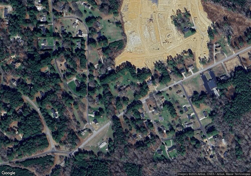
Map
Nearby Homes
- 109 Drew St
- 7.69 Acres N Carolina 561
- 23.20 Acre N Carolina 561
- 10.26 Acre N Carolina 561
- 0-0 Halifax Rd
- 126 Person St
- 125 Davis St
- 612 N Main St
- 604 N Main St
- 101 Briarwood Ct
- 191 Nc 56 Hwy E
- 401 N Main St
- 311 Nc 56 Hwy E
- 321 W Noble St
- 205 Williamson St
- 313 W Noble St
- 305 N Elm St
- 301 W College St
- 121 Tanglewood Dr
- 491 Nc 56 Hwy E
- 345 Nc 561 Hwy
- 107 Grifford Dr
- 298 Nc 561 Hwy
- 111 Grifford Dr
- 111 Grifford Dr
- 102 Lakeside Ave
- 101 Lakeside Ave
- 105 Grifford Dr
- 351 Nc 561 Hwy
- 340 Nc 561 Hwy
- 000 N Carolina 561
- 30 AC N Carolina 561
- LOT 2 N Carolina 561
- 0 Thornton St Unit 10031277
- 103 Grifford Dr
- 104 Lakeside Ave
- 104 Lakeside Ave
- 113 Grifford Dr
- 103 Stratford Dr
- 103 Lakeside Ave