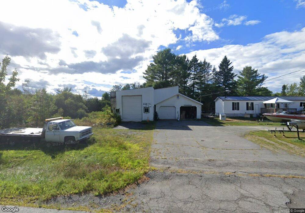
289 Newport Rd Corinna, ME 04928
Estimated Value: $116,000 - $268,000
--
Bed
--
Bath
980
Sq Ft
$200/Sq Ft
Est. Value
About This Home
This home is located at 289 Newport Rd, Corinna, ME 04928 and is currently estimated at $196,059, approximately $200 per square foot. 289 Newport Rd is a home with nearby schools including Sebasticook Valley Elementary School and Nokomis Regional Middle School/High School.
Ownership History
Date
Name
Owned For
Owner Type
Purchase Details
Closed on
Aug 31, 2007
Sold by
Clark Kim
Bought by
Randall Joyce E and Temple Casey J
Current Estimated Value
Home Financials for this Owner
Home Financials are based on the most recent Mortgage that was taken out on this home.
Original Mortgage
$71,910
Outstanding Balance
$12,210
Interest Rate
6.71%
Mortgage Type
FHA
Estimated Equity
$183,849
Create a Home Valuation Report for This Property
The Home Valuation Report is an in-depth analysis detailing your home's value as well as a comparison with similar homes in the area
Home Values in the Area
Average Home Value in this Area
Purchase History
| Date | Buyer | Sale Price | Title Company |
|---|---|---|---|
| Randall Joyce E | -- | -- |
Source: Public Records
Mortgage History
| Date | Status | Borrower | Loan Amount |
|---|---|---|---|
| Open | Randall Joyce E | $71,910 |
Source: Public Records
Tax History Compared to Growth
Tax History
| Year | Tax Paid | Tax Assessment Tax Assessment Total Assessment is a certain percentage of the fair market value that is determined by local assessors to be the total taxable value of land and additions on the property. | Land | Improvement |
|---|---|---|---|---|
| 2024 | $1,499 | $75,900 | $21,500 | $54,400 |
| 2023 | $1,331 | $68,200 | $21,500 | $46,700 |
| 2022 | $1,371 | $68,200 | $21,500 | $46,700 |
| 2021 | $1,371 | $68,200 | $21,500 | $46,700 |
| 2020 | $2,839 | $66,300 | $21,500 | $44,800 |
| 2019 | $1,820 | $66,300 | $21,500 | $44,800 |
| 2018 | $1,256 | $66,300 | $21,500 | $44,800 |
| 2017 | $1,220 | $66,300 | $21,500 | $44,800 |
| 2016 | $0 | $66,300 | $21,500 | $44,800 |
| 2015 | $1,180 | $66,300 | $21,500 | $44,800 |
| 2014 | $1,134 | $66,300 | $21,500 | $44,800 |
| 2013 | $1,127 | $66,300 | $21,500 | $44,800 |
Source: Public Records
Map
Nearby Homes
- 263 & 265 Stetson Rd
- 37 Loon Dr
- 5,7,9 Renewal St
- Lot 2 Golf Course Cameo Sub Rd
- 281 St Albans Rd
- 53 Hope Rd
- 315 Golf Course Rd
- 43 Lachance Dr
- Lot # 31 Hope Rd
- Lot 4 Moosehead Trail
- 107 Shady Ln
- Lot 3-12 Shady Ln
- 106 Shady Ln
- 63 Grandview Dr
- 30 Grand View Dr
- 107 Barrows Point Rd
- 265 Grove St
- 277 Grove St
- 3 Canadian Geese Dr
- 16 Libby Hill Rd
- 273 Newport Rd
- 266 Newport Rd
- 229 Newport Rd
- 236 Newport Rd
- 1012 Moosehead Trail
- 205 Newport Rd
- 960 Moosehead Trail
- 189 Newport Rd
- 24 Thunder Rd
- 1017 Moosehead Trail
- 169 Newport Rd
- 177 Newport Rd
- 970 Moosehead Trail
- 986 Moosehead Trail
- 994 Moosehead Trail
- 954 Moosehead Trail
- 151 Newport Rd
- 143 Newport Rd
- 896 Moosehead Trail
- 1 Maple St