289 Nora Dr Bessemer, PA 16112
Estimated Value: $127,000 - $407,090
3
Beds
2
Baths
1,450
Sq Ft
$165/Sq Ft
Est. Value
About This Home
This home is located at 289 Nora Dr, Bessemer, PA 16112 and is currently estimated at $239,773, approximately $165 per square foot. 289 Nora Dr is a home located in Lawrence County with nearby schools including Mohawk Elementary School and Mohawk Senior High School.
Ownership History
Date
Name
Owned For
Owner Type
Purchase Details
Closed on
Apr 28, 2015
Sold by
Klepfer John R and Klepfer Gerianne
Bought by
Klepfer Gerianne
Current Estimated Value
Purchase Details
Closed on
Aug 19, 2013
Sold by
Klepfer John R and Klepfer Gerianne
Bought by
Klepfer John R and Klepfer Gerianne
Purchase Details
Closed on
Dec 24, 2008
Sold by
Dailey Gregory L and Dailey Pennie J
Bought by
Klepfer John Raymond and Klepfer Gerianne
Create a Home Valuation Report for This Property
The Home Valuation Report is an in-depth analysis detailing your home's value as well as a comparison with similar homes in the area
Home Values in the Area
Average Home Value in this Area
Purchase History
| Date | Buyer | Sale Price | Title Company |
|---|---|---|---|
| Klepfer Gerianne | -- | None Available | |
| Klepfer John R | -- | None Available | |
| Klepfer John Raymond | $63,000 | None Available |
Source: Public Records
Tax History Compared to Growth
Tax History
| Year | Tax Paid | Tax Assessment Tax Assessment Total Assessment is a certain percentage of the fair market value that is determined by local assessors to be the total taxable value of land and additions on the property. | Land | Improvement |
|---|---|---|---|---|
| 2025 | $3,278 | $132,300 | $65,800 | $66,500 |
| 2024 | $3,276 | $193,800 | $127,200 | $66,600 |
| 2023 | $4,802 | $193,800 | $127,200 | $66,600 |
| 2022 | $4,802 | $193,800 | $127,200 | $66,600 |
| 2021 | $2,349 | $156,400 | $127,200 | $29,200 |
| 2020 | $2,349 | $156,400 | $127,200 | $29,200 |
| 2019 | $2,254 | $156,400 | $127,200 | $29,200 |
| 2018 | $2,254 | $156,400 | $127,200 | $29,200 |
| 2017 | $3,595 | $156,400 | $127,200 | $29,200 |
| 2016 | $750 | $156,400 | $127,200 | $29,200 |
| 2015 | $750 | $156,400 | $127,200 | $29,200 |
| 2014 | $750 | $156,400 | $127,200 | $29,200 |
Source: Public Records
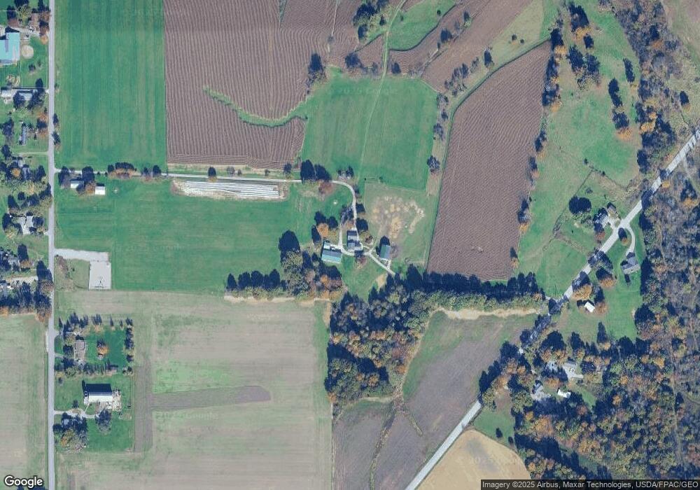
Map
Nearby Homes
- 6338 E South Range Rd
- 11.61 acres Stateline Rd
- 151 Crum Rd
- 2712 State Route 351
- 51406 Cornerstone Dr
- 5589 Middletown Rd E
- 389 State Route 170
- 817 S Main St
- 9 W Fairview Ave
- 5272 Middletown Rd E
- 537 S Main St
- 10901 Main St
- 13131 Unity Rd
- 8 Elm St
- 0 Youngstown - Pittsburgh Rd Unit 5110475
- 42 Sycamore Dr
- 27 6th St
- 2 Sandy Dr
- 0 Meadowbrook Dr Unit 5110501
- 1105 E Poland Ave
- 2182 Mount Jackson Rd
- 2178 Mount Jackson Rd
- 235 Stateline Rd
- 191 Stateline Rd
- 2153 Mount Jackson Rd
- 183 Stateline Rd
- 2158 Mount Jackson Rd
- 2156 Mount Jackson Rd
- 12916 S State Line Rd
- 13010 S State Line Rd
- 2233 Mount Jackson Rd
- 12832 S State Line Rd
- 13228 S State Line Rd
- 12776 S State Line Rd
- 2246 Mount Jackson Rd
- 12988 S State Line Rd
- 12666 S State Line Rd
- 2109 Mount Jackson Rd
- 0 S State Line Rd
- 12750 S State Line Rd