289 Princes Point Rd Yarmouth, ME 04096
Estimated Value: $1,459,803 - $1,926,000
3
Beds
2
Baths
3,241
Sq Ft
$505/Sq Ft
Est. Value
About This Home
This home is located at 289 Princes Point Rd, Yarmouth, ME 04096 and is currently estimated at $1,635,934, approximately $504 per square foot. 289 Princes Point Rd is a home located in Cumberland County with nearby schools including William H. Rowe School, Yarmouth Elementary School, and Frank H. Harrison Middle School.
Ownership History
Date
Name
Owned For
Owner Type
Purchase Details
Closed on
Oct 5, 2006
Sold by
Runge Alfred E and Runge C M
Bought by
Runge Jennifer H and Runge Nathaniel E
Current Estimated Value
Create a Home Valuation Report for This Property
The Home Valuation Report is an in-depth analysis detailing your home's value as well as a comparison with similar homes in the area
Home Values in the Area
Average Home Value in this Area
Purchase History
| Date | Buyer | Sale Price | Title Company |
|---|---|---|---|
| Runge Jennifer H | -- | -- |
Source: Public Records
Tax History Compared to Growth
Tax History
| Year | Tax Paid | Tax Assessment Tax Assessment Total Assessment is a certain percentage of the fair market value that is determined by local assessors to be the total taxable value of land and additions on the property. | Land | Improvement |
|---|---|---|---|---|
| 2024 | $21,488 | $837,100 | $329,100 | $508,000 |
| 2023 | $15,682 | $666,200 | $329,100 | $337,100 |
| 2022 | $15,618 | $722,400 | $385,300 | $337,100 |
| 2021 | $13,858 | $722,400 | $385,300 | $337,100 |
| 2020 | $13,684 | $722,400 | $385,300 | $337,100 |
| 2019 | $13,624 | $722,400 | $385,300 | $337,100 |
| 2018 | $12,442 | $699,000 | $385,300 | $313,700 |
| 2017 | $11,985 | $698,400 | $384,700 | $313,700 |
| 2016 | $12,735 | $746,500 | $406,400 | $340,100 |
| 2015 | $9,372 | $434,700 | $213,200 | $221,500 |
| 2014 | $9,390 | $434,700 | $213,200 | $221,500 |
| 2013 | $9,563 | $434,700 | $0 | $0 |
Source: Public Records
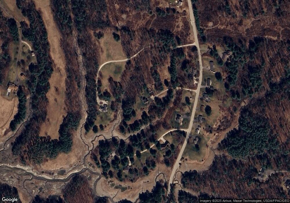
Map
Nearby Homes
- 51 Meeting House Farms Rd
- 6 Ebb Tide Dr
- 24 Daybreak Ln
- 86 Pleasant St
- 21 Ledge Rd
- 51 Pleasant St
- 52 Blueberry Cove Rd Unit 52
- 30 Blueberry Cove
- 62 Blueberry Cove Rd Unit 62
- 69 Rand Rd
- 70 Main St
- 1 Ledge Rd
- 16 Town Landing Rd
- 149 E Main St Unit 7
- 0 Bayview St
- 44 Essex Dr
- 51 Oakland Ave
- 1 Railroad Square Unit Townhome C
- 1 Railroad Square Unit 103
- 1 Railroad Square Unit 205
- 311 Princes Point Rd
- 10 Spartina Point Rd
- 253 Princes Point Rd
- 323 Princess Point Rd
- 279 Princes Point Rd
- 304 Princes Point Rd
- 316 Princes Point Rd
- 314 Princes Point Rd
- 296 Princes Point Rd
- 326 Princes Point Rd
- 286 Princes Point Rd
- 22 Spartina Point Rd
- 20 Spartina Point Rd
- 272 Princes Point Rd
- 257 Princes Point Rd
- 268 Princes Point Rd
- Lot 7 Meeting House Farms Rd
- 389 Princes Point Rd
- 213 Princes Point Rd
- 0 Princess Point Rd