Estimated Value: $340,000 - $401,000
2
Beds
2
Baths
1,750
Sq Ft
$211/Sq Ft
Est. Value
About This Home
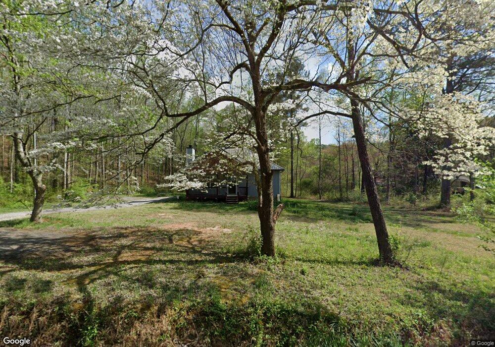
This home is located at 289 Rich Davis Rd, Hiram, GA 30141 and is currently estimated at $368,788, approximately $210 per square foot. 289 Rich Davis Rd is a home located in Paulding County with nearby schools including Sam D. Panter Elementary School, J. A. Dobbins Middle School, and Hiram High School.
Ownership History
Date
Name
Owned For
Owner Type
Purchase Details
Closed on
Mar 4, 2019
Sold by
Nelson David L
Bought by
Nelson Jeremy Lee
Current Estimated Value
Purchase Details
Closed on
Dec 29, 2017
Sold by
Woods Nancy K
Bought by
Nelson Deloris and Nelson David L
Purchase Details
Closed on
Sep 15, 2008
Sold by
Woods Nancy K
Bought by
Woods Cliff W and Woods Nancy K
Create a Home Valuation Report for This Property
The Home Valuation Report is an in-depth analysis detailing your home's value as well as a comparison with similar homes in the area
Home Values in the Area
Average Home Value in this Area
Purchase History
| Date | Buyer | Sale Price | Title Company |
|---|---|---|---|
| Nelson Jeremy Lee | -- | -- | |
| Nelson Deloris | $20,000 | -- | |
| Woods Cliff W | -- | -- |
Source: Public Records
Tax History Compared to Growth
Tax History
| Year | Tax Paid | Tax Assessment Tax Assessment Total Assessment is a certain percentage of the fair market value that is determined by local assessors to be the total taxable value of land and additions on the property. | Land | Improvement |
|---|---|---|---|---|
| 2024 | $3,964 | $162,600 | $16,400 | $146,200 |
| 2023 | $3,981 | $155,240 | $15,960 | $139,280 |
| 2022 | $3,511 | $136,560 | $12,600 | $123,960 |
| 2021 | $2,969 | $104,040 | $9,840 | $94,200 |
| 2020 | $2,727 | $93,680 | $9,280 | $84,400 |
| 2019 | $296 | $9,840 | $9,840 | $0 |
| 2018 | $241 | $12,560 | $12,560 | $0 |
| 2017 | $367 | $12,000 | $12,000 | $0 |
| 2016 | $363 | $12,000 | $12,000 | $0 |
| 2015 | $456 | $16,680 | $11,800 | $4,880 |
| 2014 | $477 | $15,120 | $10,840 | $4,280 |
| 2013 | -- | $15,480 | $11,880 | $3,600 |
Source: Public Records
Map
Nearby Homes
- 309 Rich Davis Rd
- 290 Rich Davis Rd
- 247 Rich Davis Rd
- 348 Rich Davis Rd
- 245 Rich Davis Rd
- 353 Gold Creek Trail
- 207 Rich Davis Rd
- 347 Gold Creek Trail
- 364 Rich Davis Rd
- 358 Gold Creek Trail
- 350 Gold Creek Trail
- 417 Rich Davis Rd
- 2766 Bill Carruth Pkwy
- 286 Gold Creek Trail
- 422 Rich Davis Rd
- 205 Nelson Path
- 2762 Bill Carruth Pkwy
- 222 Gold Creek Trail
- 138 Nelson Path
- 262 Gold Creek Trail